MyTopo
Classic USGS Big Dutch Hollow Utah 7.5'x7.5' Topo Map
Couldn't load pickup availability
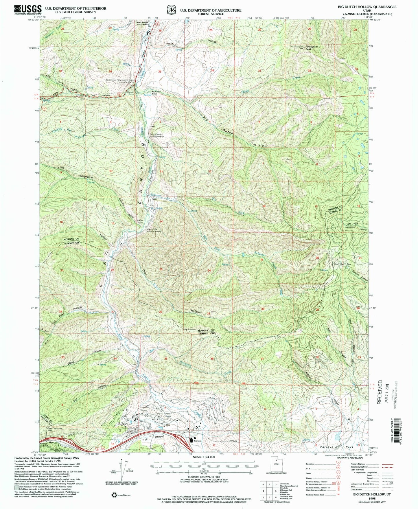
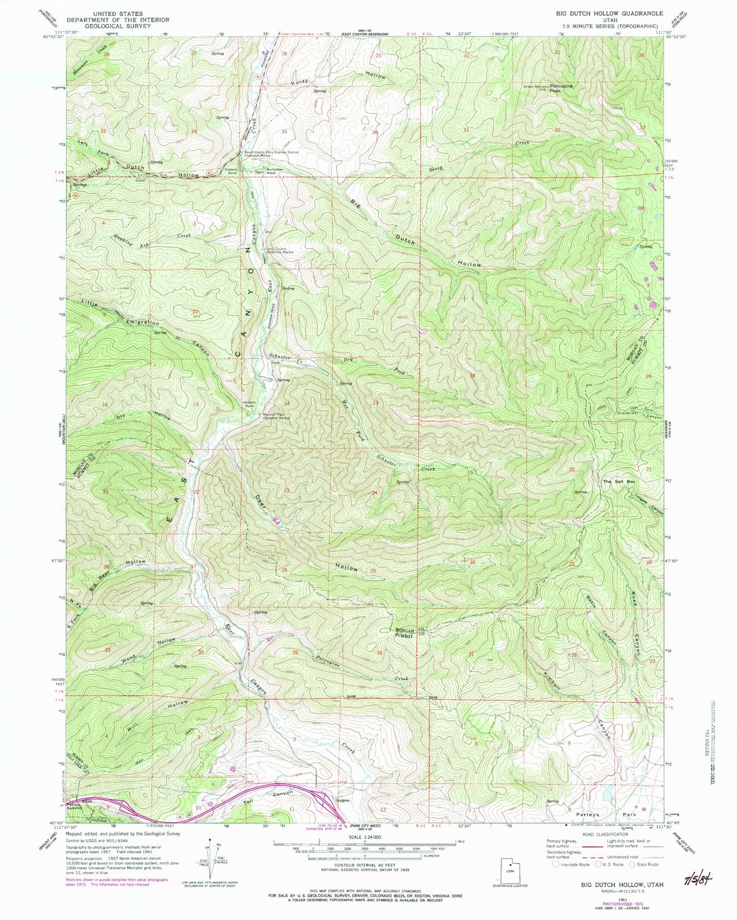
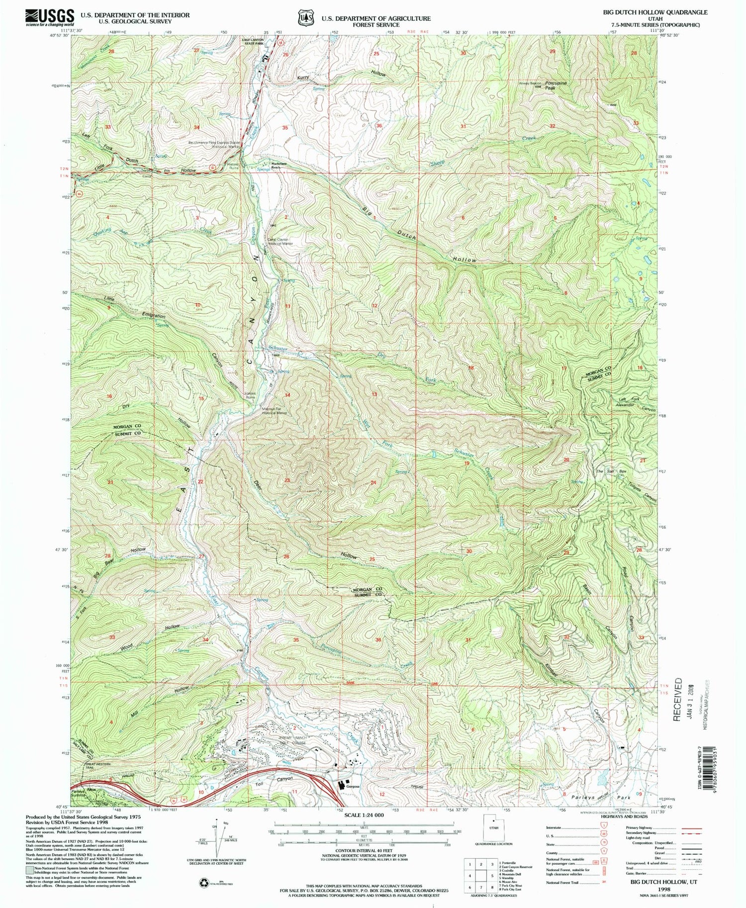
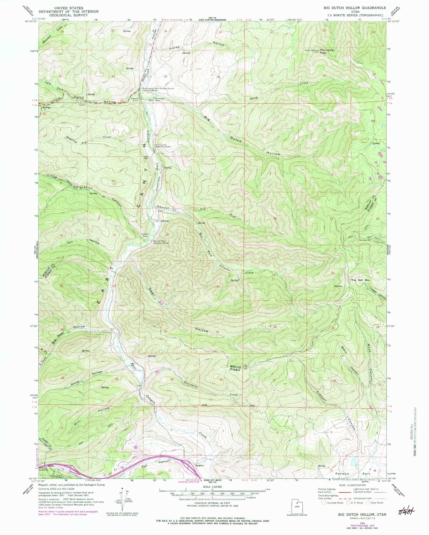
Historical USGS topographic quad map of Big Dutch Hollow in the state of Utah. Typical map scale is 1:24,000, but may vary for certain years, if available. Print size: 24" x 27"
This quadrangle is in the following counties: Morgan, Salt Lake, Summit.
The map contains contour lines, roads, rivers, towns, and lakes. Printed on high-quality waterproof paper with UV fade-resistant inks, and shipped rolled.
Contains the following named places: Basin Canyon, Bauchmanns Pony Express Station Historical Marker, Big Bear Hollow, Big Dutch Hollow, Camp Clayton Historical Marker, Deer Hollow, Schuster Creek, Kimball Canyon, Kurzy Hollow, Macfarlane Ranch, Mill Hollow, Mormon Flat Historical Marker, Parleys Summit, Porcupine Creek, Porcupine Peak, Road Canyon, Schuster Creek, Sheep Creek, The Salt Box, Wet Fork Schuster Creek, Wood Hollow, Jeremy Ranch, Altus, Gogorza, Dry Hollow, Left Fork Little Dutch Hollow, Little Dutch Hollow, Little Emigration Canyon, North Fork Big Bear Hollow, Quaking Asp Creek, South Fork Big Bear Hollow, Toll Canyon, Bitner Spring, North Snyderville Basin Census Designated Place, Park City Fire District Station 32


