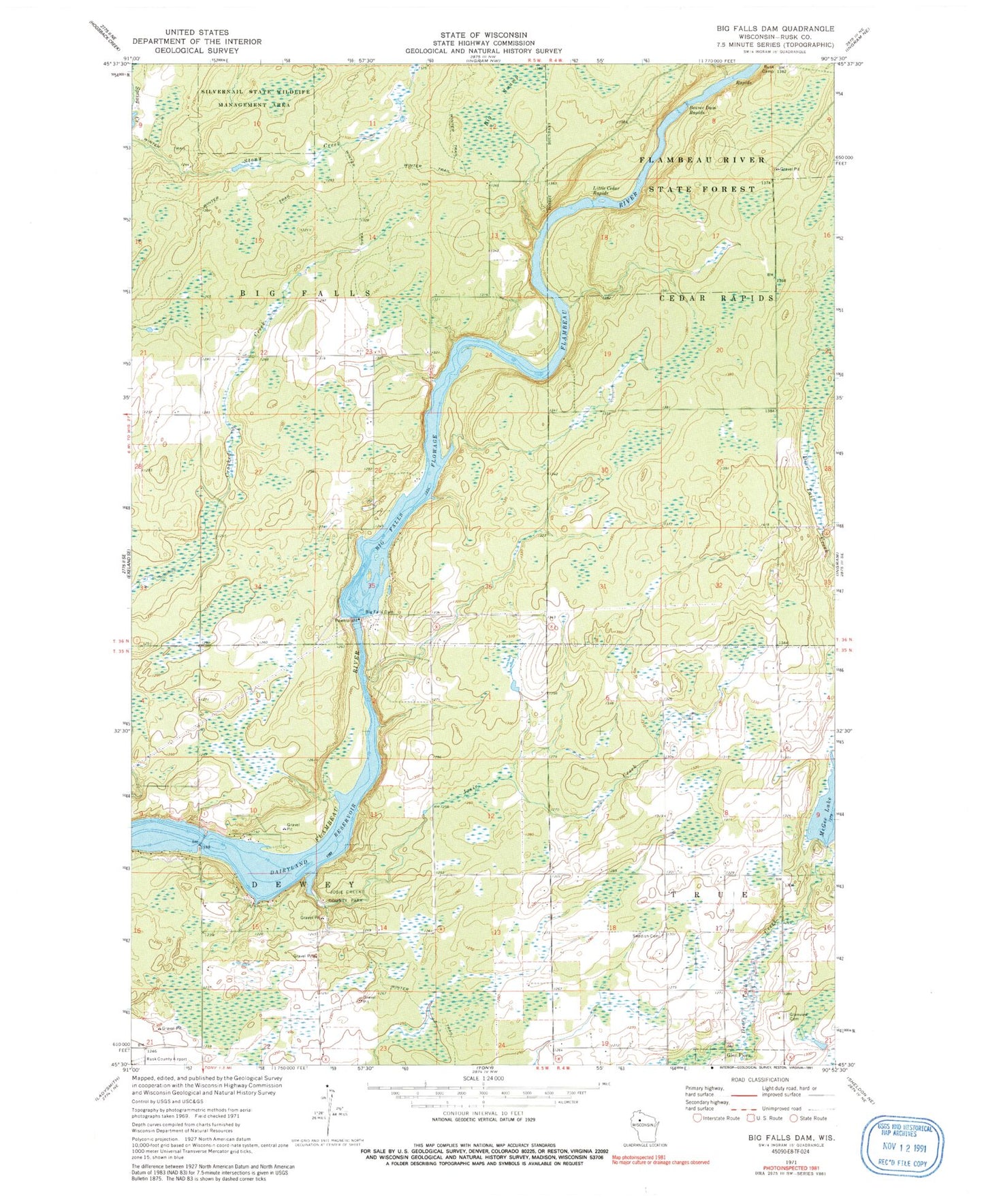
MyTopo
Classic USGS Big Falls Dam Wisconsin 7.5'x7.5' Topo Map
Regular price
$16.95
Regular price
Sale price
$16.95
Unit price
per
Couldn't load pickup availability
Historical USGS topographic quad map of Big Falls Dam in the state of Wisconsin. Map scale may vary for some years, but is generally around 1:24,000. Print size is approximately 24" x 27"
This quadrangle is in the following counties: Rusk.
The map contains contour lines, roads, rivers, towns, and lakes. Printed on high-quality waterproof paper with UV fade-resistant inks, and shipped rolled.
Contains the following named places: Beaver Dam Rapids, Big Falls Dam, Big Falls Flowage, Big Swamp, Campbell Dam, Dairyland Reservoir, Glenview Cemetery, Josie Creek, Josie Creek County Park, Little Cedar Rapids, McGee Lake, Rusk Camp, Swedish Cemetery, Town of Big Falls, Town of Dewey, Town of True