MyTopo
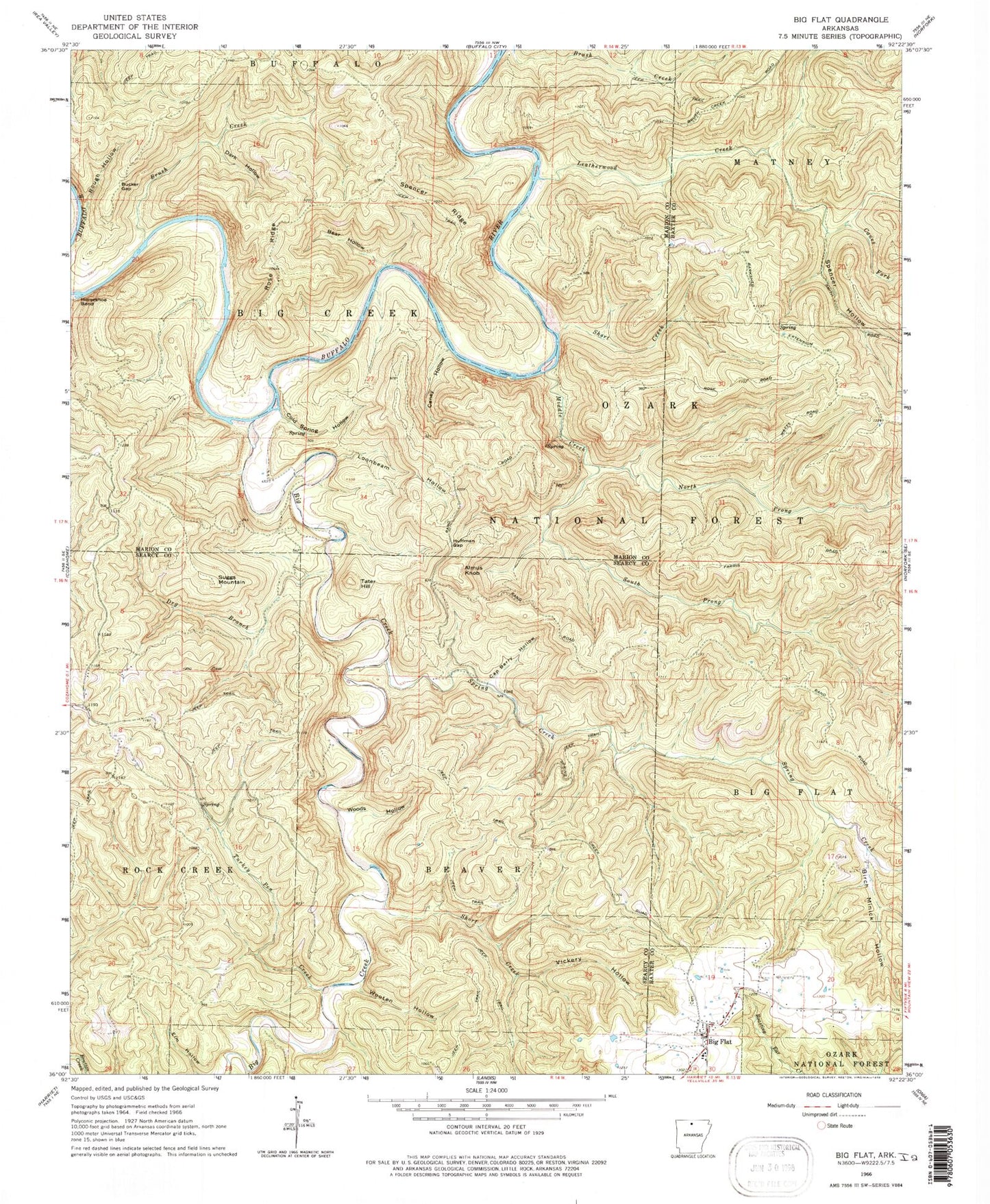
USGS Classic Big Flat Arkansas 7.5'x7.5' Topo Map
Couldn't load pickup availability
Historical USGS topographic quad map of Big Flat in the state of Arkansas. Scale: 1:24000. Print size: 24" x 27"
This quadrangle is in the following counties: Baxter, Marion, Searcy.
The map contains contour lines, roads, rivers, towns, lakes, and grids including latitude / longitude and UTM / MGRS. Printed on high-quality waterproof paper with UV fade-resistant inks.
Contains the following named places: Hepsey (historical), Township of Beaver (historical), Township of Rock Creek, Big Flat Cemetery, Tri-County High School, Township of Big Creek (historical), Boonie Ford, Caney Branch, Fishtrap Creek, Fishtrap Shoal, Foster Ford, Fox Bar Shoal, Greasy Shoal, Leatherwood Shoal, Rocky Ford, Rose Berry Chute, Sheep Jump Creek, Shields Ford, Slick Rock Creek, Spencer Ford, Warners Ford, Woodcocks Ford, Woodcocks Mill (historical), Wooten Ford, Almus Knob, Bear Hollow, Birch Minick Hollow, Brush Creek, Bucker Gap, Canes Fork, Caney Hollow, Cap Berry Hollow, Cold Spring Hollow, Dark Hollow, Dry Branch, Horseshoe Bend, Huffman Gap, Loonbeam Hollow, Middle Creek, North Prong Middle Creek, Rose Ridge, Rough Hollow, Short Creek, Short Creek, Spencer Hollow, Spencer Ridge, Spring Creek, Suggs Mountain, Tater Hill, Turkey Pen Creek, Vickery Hollow, Woods Hollow, Wooten Hollow, Leatherwood Wilderness, Big Creek, Big Flat, Leatherwood Creek, South Prong Middle Creek, Cozahome Post Office, Big Flat Volunteer Fire Department, Town of Big Flat, Hepsey Cemetery, Woodcock Cemetery


