MyTopo
Classic USGS Big Goat Mountain Washington 7.5'x7.5' Topo Map
Couldn't load pickup availability
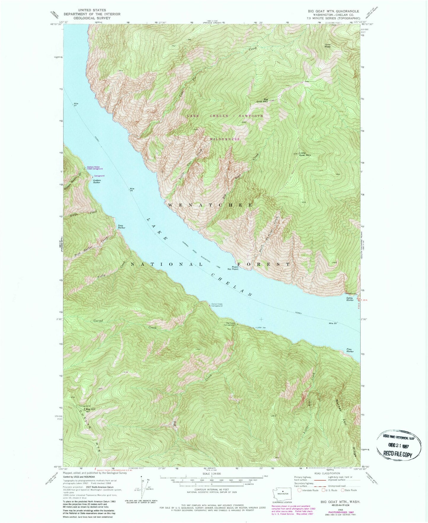
Historical USGS topographic quad map of Big Goat Mountain in the state of Washington. Map scale may vary for some years, but is generally around 1:24,000. Print size is approximately 24" x 27"
This quadrangle is in the following counties: Chelan.
The map contains contour lines, roads, rivers, towns, and lakes. Printed on high-quality waterproof paper with UV fade-resistant inks, and shipped rolled.
Contains the following named places: Barney Zell Ridge, Big Creek, Big Creek Campground, Big Goat Creek, Big Goat Mountain, Big Hill, Big Hill Campground, Corral Creek, Corral Creek Campground, Deep Harbor, Deep Harbor Creek, Finn Harbor, Graham Harbor, Graham Harbor Campground, Graham Harbor Creek, Graham Harbor Creek Campground, Little Big Creek, Little Goat Creek, Little Goat Mountain, Lone Fir Creek, Nobby Creek, Point No Point, Point No Point Creek, Ridge Creek, Safety Harbor, Safety Harbor Campground, Safety Harbor Creek, Uno Peak