MyTopo
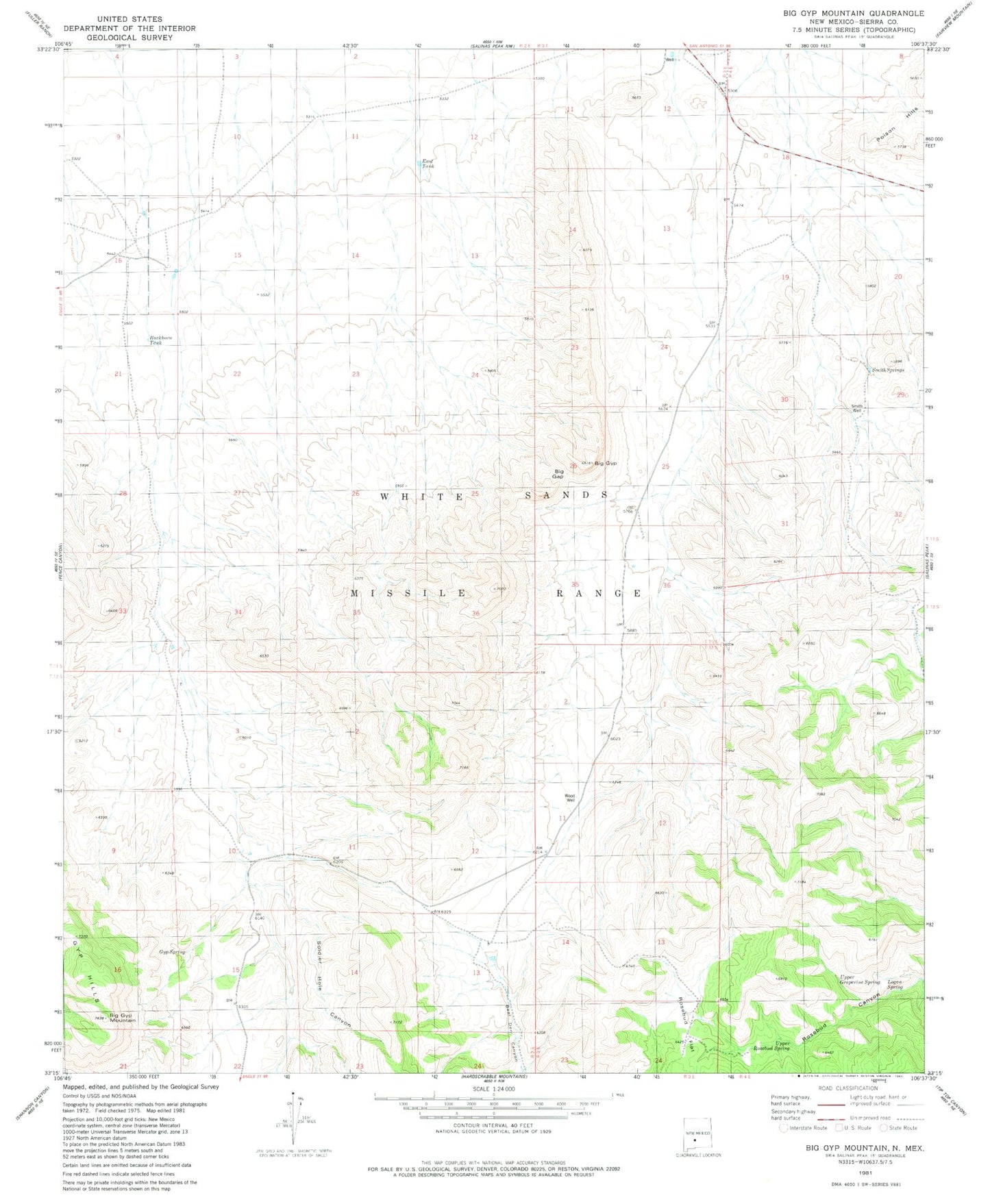
Classic USGS Big Gyp Mountain New Mexico 7.5'x7.5' Topo Map
Couldn't load pickup availability
Historical USGS topographic quad map of Big Gyp Mountain in the state of New Mexico. Map scale may vary for some years, but is generally around 1:24,000. Print size is approximately 24" x 27"
This quadrangle is in the following counties: Sierra.
The map contains contour lines, roads, rivers, towns, and lakes. Printed on high-quality waterproof paper with UV fade-resistant inks, and shipped rolled.
Contains the following named places: Big Gap, Big Gyp, Big Gyp Mountain, Buckhorn Tank, Cain Ranch Headquarters, Cottonwood Canyon, Distill Spring, East Tank, Gyp Spring, Logan Spring, Smith Springs, Smith Well, Soldier Hole Canyon, Upper Grapevine Spring, Upper Rosebud Spring, Wood Ranch Headquarters, Wood Well