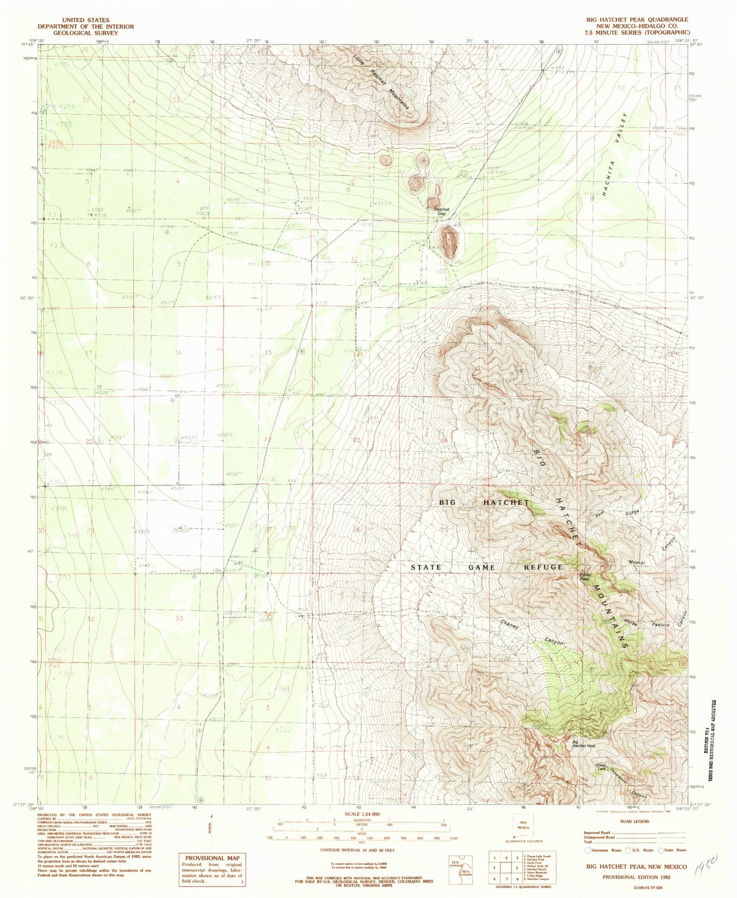
MyTopo
Classic USGS Big Hatchet Peak New Mexico 7.5'x7.5' Topo Map
Regular price
$16.95
Regular price
Sale price
$16.95
Unit price
per
Couldn't load pickup availability
Historical USGS topographic quad map of Big Hatchet Peak in the state of New Mexico. Map scale may vary for some years, but is generally around 1:24,000. Print size is approximately 24" x 27"
This quadrangle is in the following counties: Hidalgo.
The map contains contour lines, roads, rivers, towns, and lakes. Printed on high-quality waterproof paper with UV fade-resistant inks, and shipped rolled.
Contains the following named places: Benton Ranch, Big Hatchet Mountains Wilderness Study Area, Big Hatchet Peak, Boone Ranch, Chaineys Ranch, Chaney Canyon, Hatchet Gap, Lambert Ranch, Old Hatchet Ranch, Parkers Ranch, Petersons Ranch, Upshaw Ranch, Worthington Ranch, Zeller Peak