MyTopo
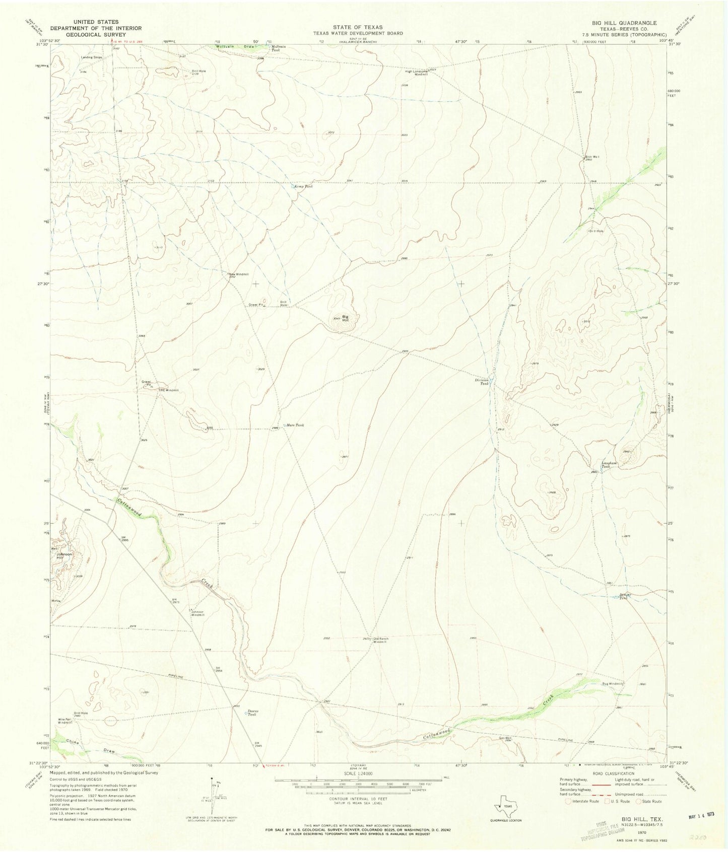
Classic USGS Big Hill Texas 7.5'x7.5' Topo Map
Regular price
$16.95
Regular price
Sale price
$16.95
Unit price
per
Couldn't load pickup availability
Historical USGS topographic quad map of Big Hill in the state of Texas. Map scale may vary for some years, but is generally around 1:24,000. Print size is approximately 24" x 27"
This quadrangle is in the following counties: Reeves.
The map contains contour lines, roads, rivers, towns, and lakes. Printed on high-quality waterproof paper with UV fade-resistant inks, and shipped rolled.
Contains the following named places: Big Hill, Britt Well, Bug Windmill, Cottonwood Creek, Division Tank, Downs Tank, High Lonesome Windmill, Johnson Hill, Johnson Windmill, Jumper Tank, Kemp Tank, Langham Tank, Mare Tank, McIlvain Tank, New Windmill, Old Ranch Windmill, R E Windmill, Wire Pen Windmill