MyTopo
Classic USGS Big Horn Arizona 7.5'x7.5' Topo Map
Regular price
$16.95
Regular price
Sale price
$16.95
Unit price
per
Couldn't load pickup availability
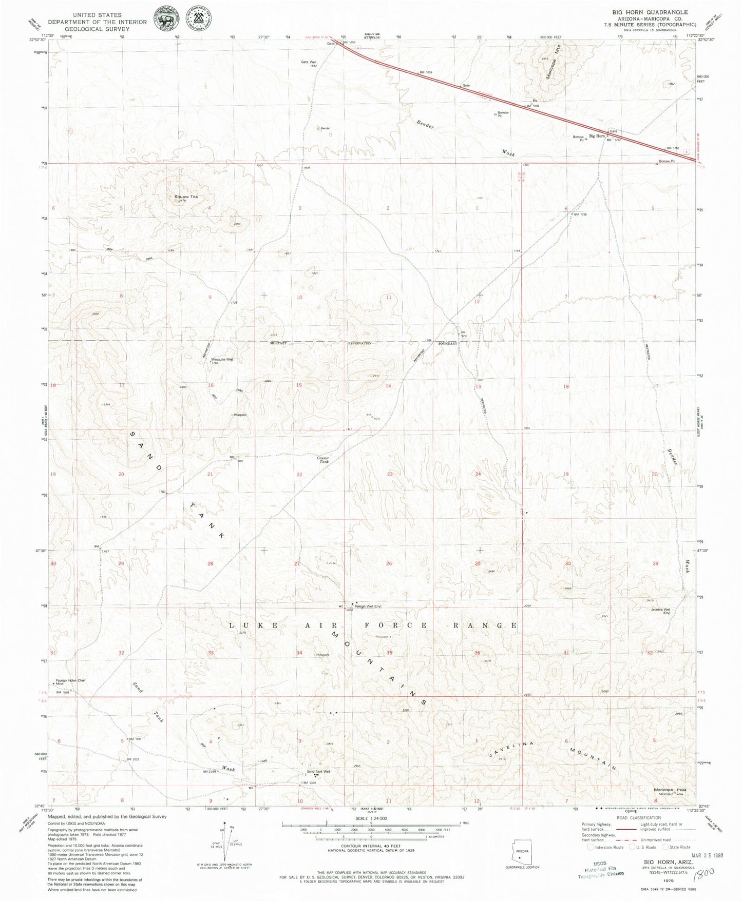
Historical USGS topographic quad map of Big Horn in the state of Arizona. Map scale may vary for some years, but is generally around 1:24,000. Print size is approximately 24" x 27"
This quadrangle is in the following counties: Maricopa.
The map contains contour lines, roads, rivers, towns, and lakes. Printed on high-quality waterproof paper with UV fade-resistant inks, and shipped rolled.
Contains the following named places: Big Horn, Caesar Tank, Getz Well, Isanaklesh Peaks, Javelina Mountain, Javelina Well, Maricopa Peak, Mesquite Well, Papago Indian Chief Mine, Raleigh Well