MyTopo
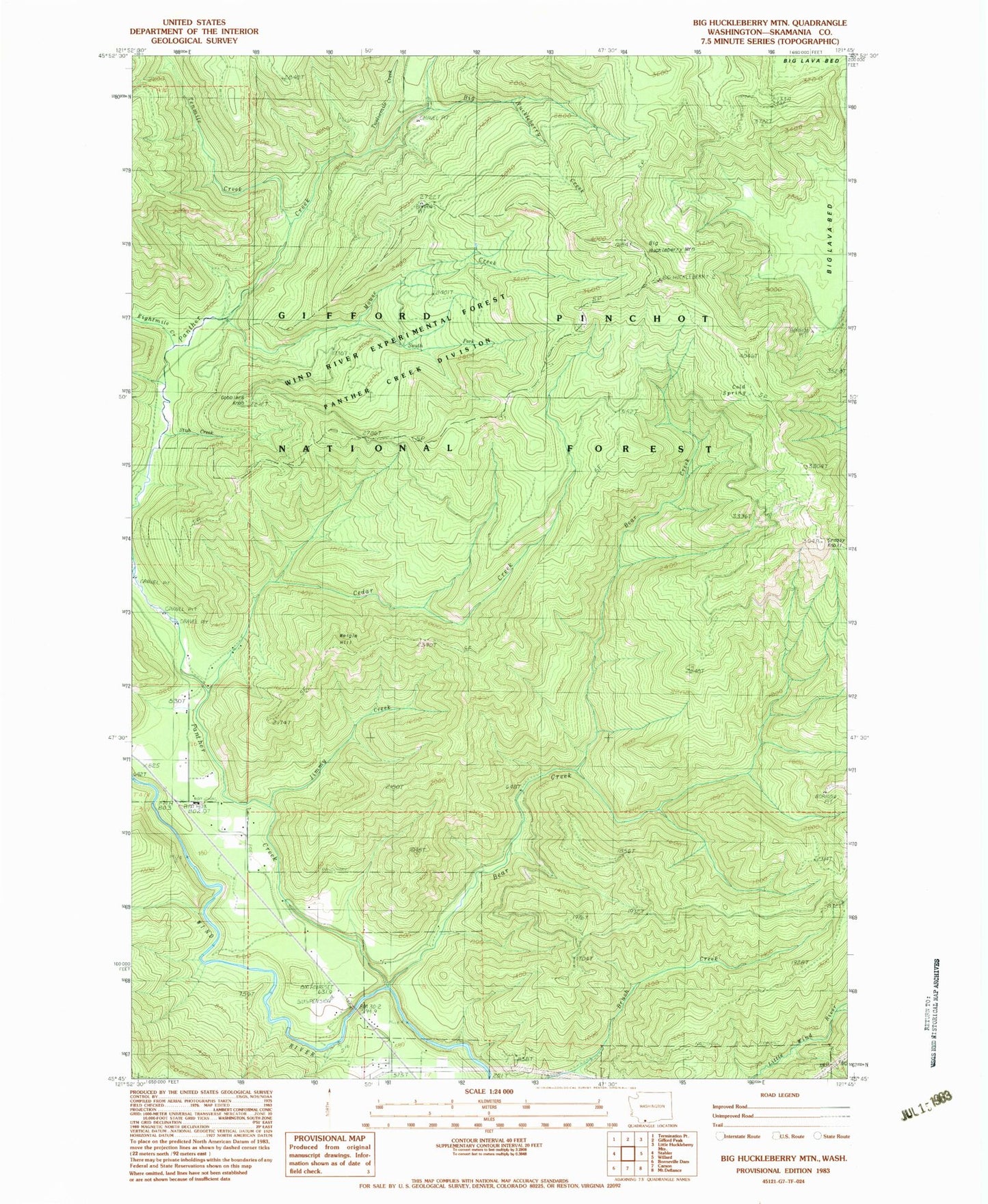
Classic USGS Big Huckleberry Mountain Washington 7.5'x7.5' Topo Map
Regular price
$16.95
Regular price
Sale price
$16.95
Unit price
per
Couldn't load pickup availability
Historical USGS topographic quad map of Big Huckleberry Mountain in the state of Washington. Map scale is 1:24000. Print size is approximately 24" x 27"
This quadrangle is in the following counties: Skamania.
The map contains contour lines, roads, rivers, towns, and lakes. Printed on high-quality waterproof paper with UV fade-resistant inks, and shipped rolled.
Contains the following named places: Bear Creek, Big Huckleberry Creek, Big Huckleberry Mountain, Brush Creek Trail, Cedar Creek, Cedar Creek Trail, Cold Spring, Eightmile Creek, Gobblers Knob, Grassy Knoll, Huckleberry Trail, Jimmy Creek, Mouse Creek, Panther Creek, South Fork Mouse Creek, Stub Creek, Tenmile Creek, Twelvemile Creek, Weigle Hill