MyTopo
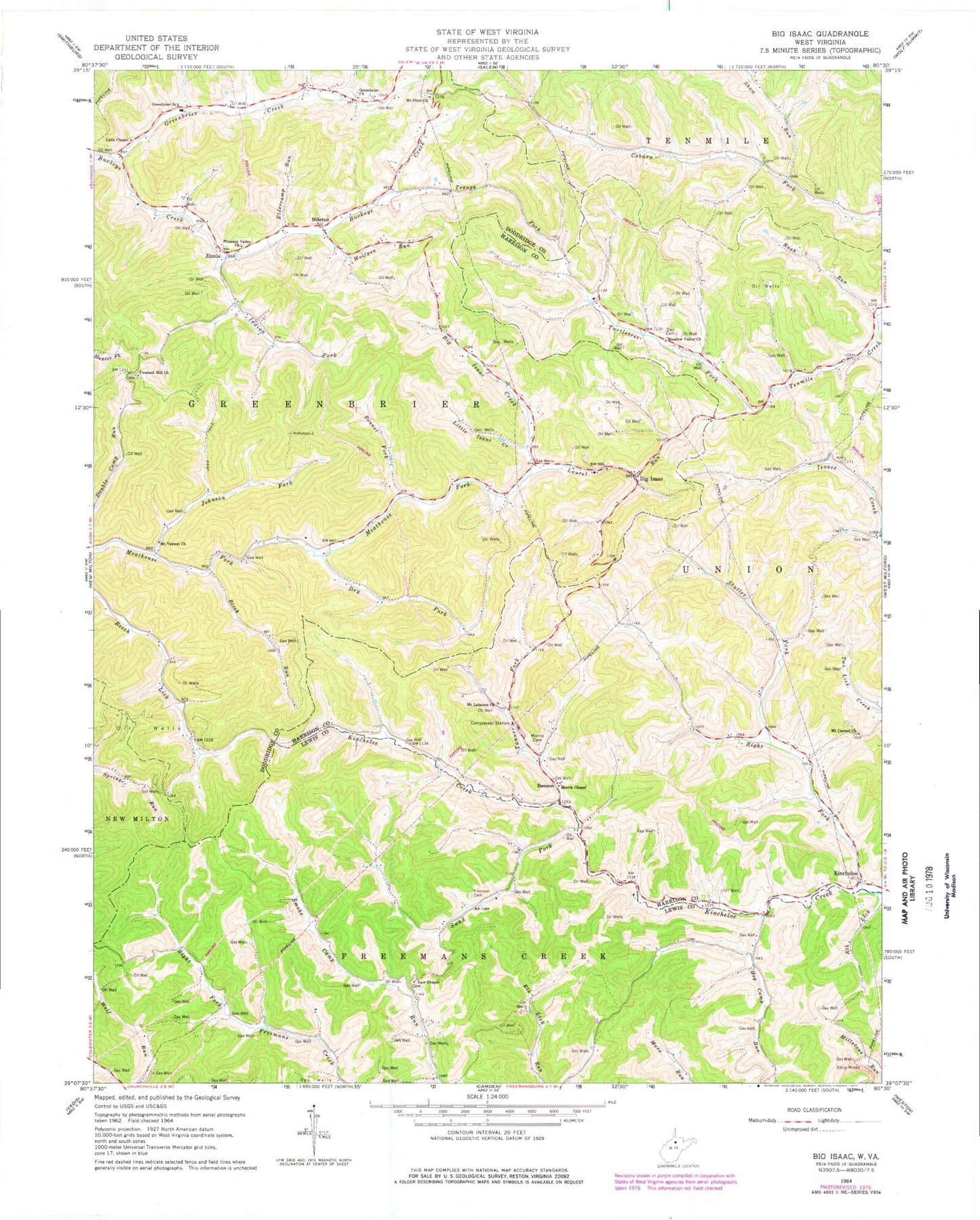
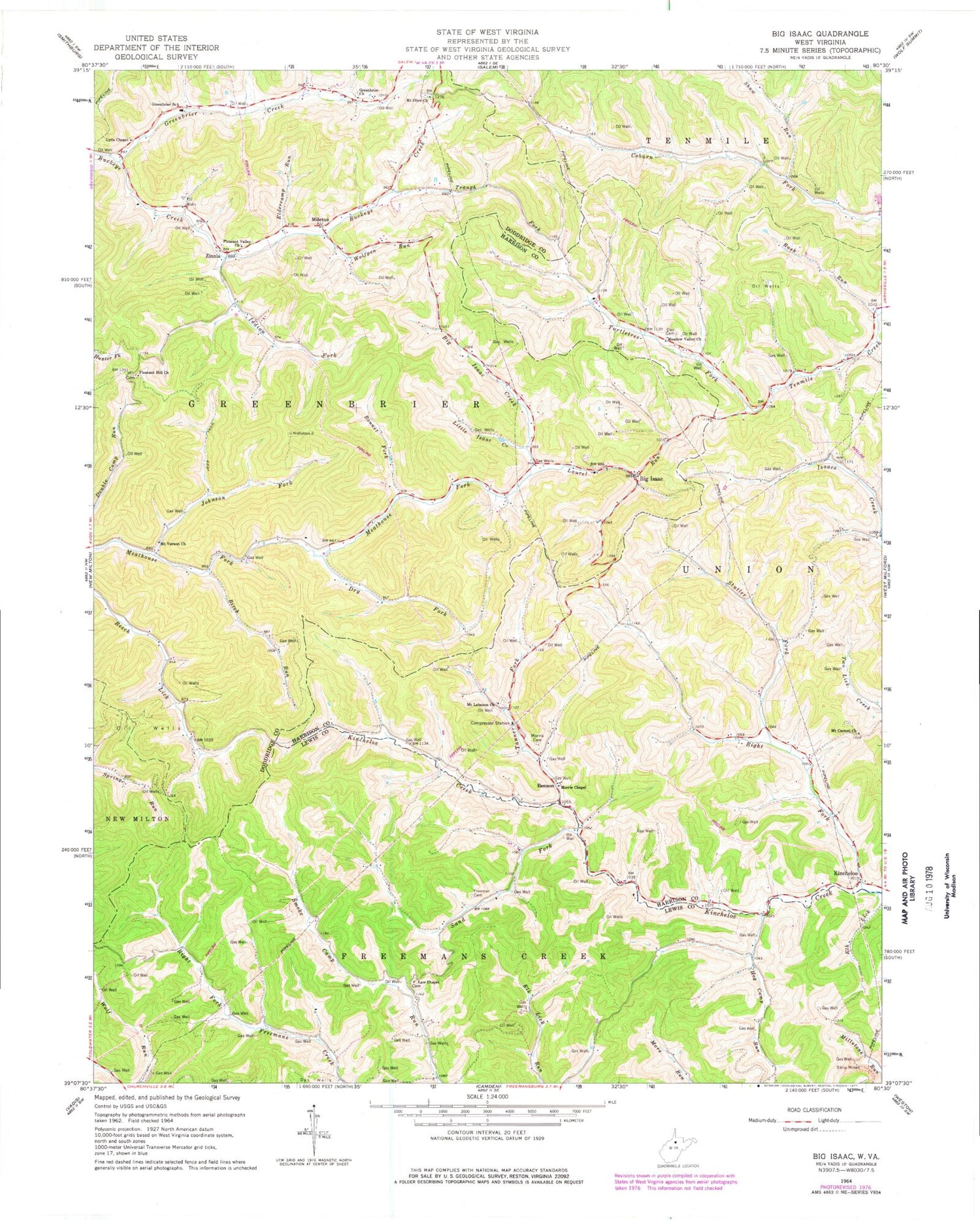
Classic USGS Big Isaac West Virginia 7.5'x7.5' Topo Map
Couldn't load pickup availability
Historical USGS topographic quad map of Big Isaac in the state of West Virginia. Map scale may vary for some years, but is generally around 1:24,000. Print size is approximately 24" x 27"
This quadrangle is in the following counties: Doddridge, Harrison, Lewis.
The map contains contour lines, roads, rivers, towns, and lakes. Printed on high-quality waterproof paper with UV fade-resistant inks, and shipped rolled.
Contains the following named places: Beech Lick School, Benson, Big Isaac, Big Isaac Cemetery, Big Isaac Creek, Big Isaac United Methodist Church, Birch Run, Birch Run School, Bonnet Fork, Coburn Fork School, Day Cemetery, Dry Fork, Eldercamp Run, Elk Lick, Freeman Cemetery, Green Hill Church, Greenbrier Cemetery, Greenbrier Creek, Greenbrier Seventh Day Baptist Church, Hinkle School, Hog Camp Run, Hog Camp School, Indian Fork, Johnson Fork, Johnson Fork School, Kincheloe, Kitt Mine Number One Sludge Pond Dam, Laurel Run, Law Chapel, Little Isaac Creek, Lowther School, Lyda Chapel United Methodist Church, McPherson School, Meadow Valley Church, Miletus, Millstone School, Morris Cemetery, Morris Chapel, Morris School, Mount Carmel Baptist Church, Mount Carmel Cemetery, Mount Lebanon Baptist Church, Mount Lebanon Cemetery, Mount Moore Church, Mount Olive Cemetery, Mount Olive Church, Mount Vernon Baptist Church, Pleasant Hill Cemetery, Pleasant Hill United Methodist Church, Pleasant Valley Church, Randolph School, Right Fork Kincheloe Creek, Ross School, Rush Run, Sand Fork, Sand Fork School, Shady Grove School, Shaw Run, Smoke Camp School, Smoke Camp Wildlife Management Area, Sperry School, Stutler Fork, Stutler Fork School, Tanner Fork, Traugh Fork, Turtletree Fork, Victory Church, WKKW-FM (Clarksburg), Wolfpen Run, Zinnia


