MyTopo
Classic USGS Big Island Bridge Wyoming 7.5'x7.5' Topo Map
Couldn't load pickup availability
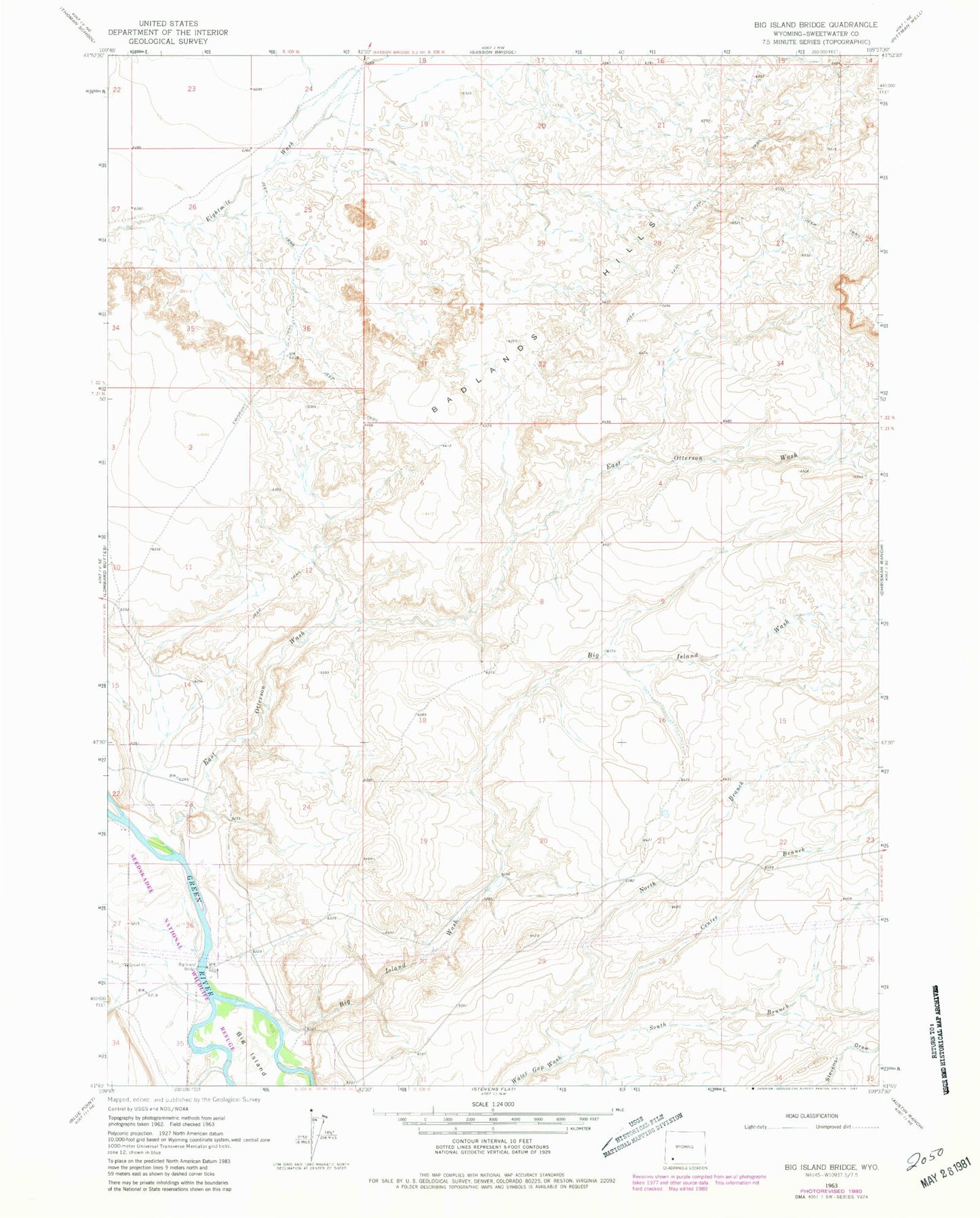
Historical USGS topographic quad map of Big Island Bridge in the state of Wyoming. Map scale may vary for some years, but is generally around 1:24,000. Print size is approximately 24" x 27"
This quadrangle is in the following counties: Sweetwater.
The map contains contour lines, roads, rivers, towns, and lakes. Printed on high-quality waterproof paper with UV fade-resistant inks, and shipped rolled.
Contains the following named places: Badlands Hills, Big Island, Big Island Bridge, Big Island Wash, Center Branch Water Gap Wash, East Otterson Wash, Green River North Division, North Branch Water Gap Wash, South Branch Water Gap Wash, Stauffer Chemical Company Big Island Number Twelve Mine, West Otterson Wash