MyTopo
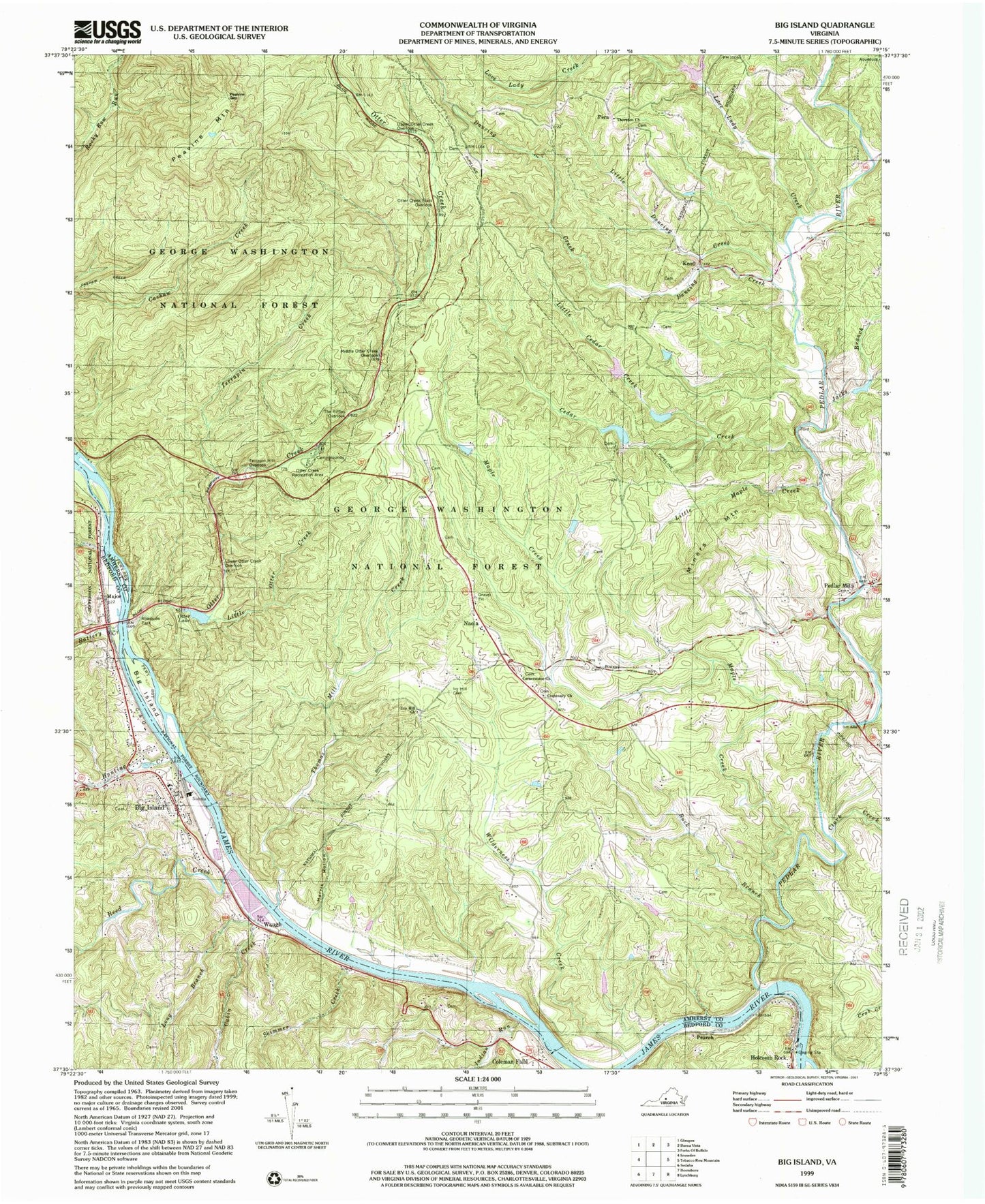
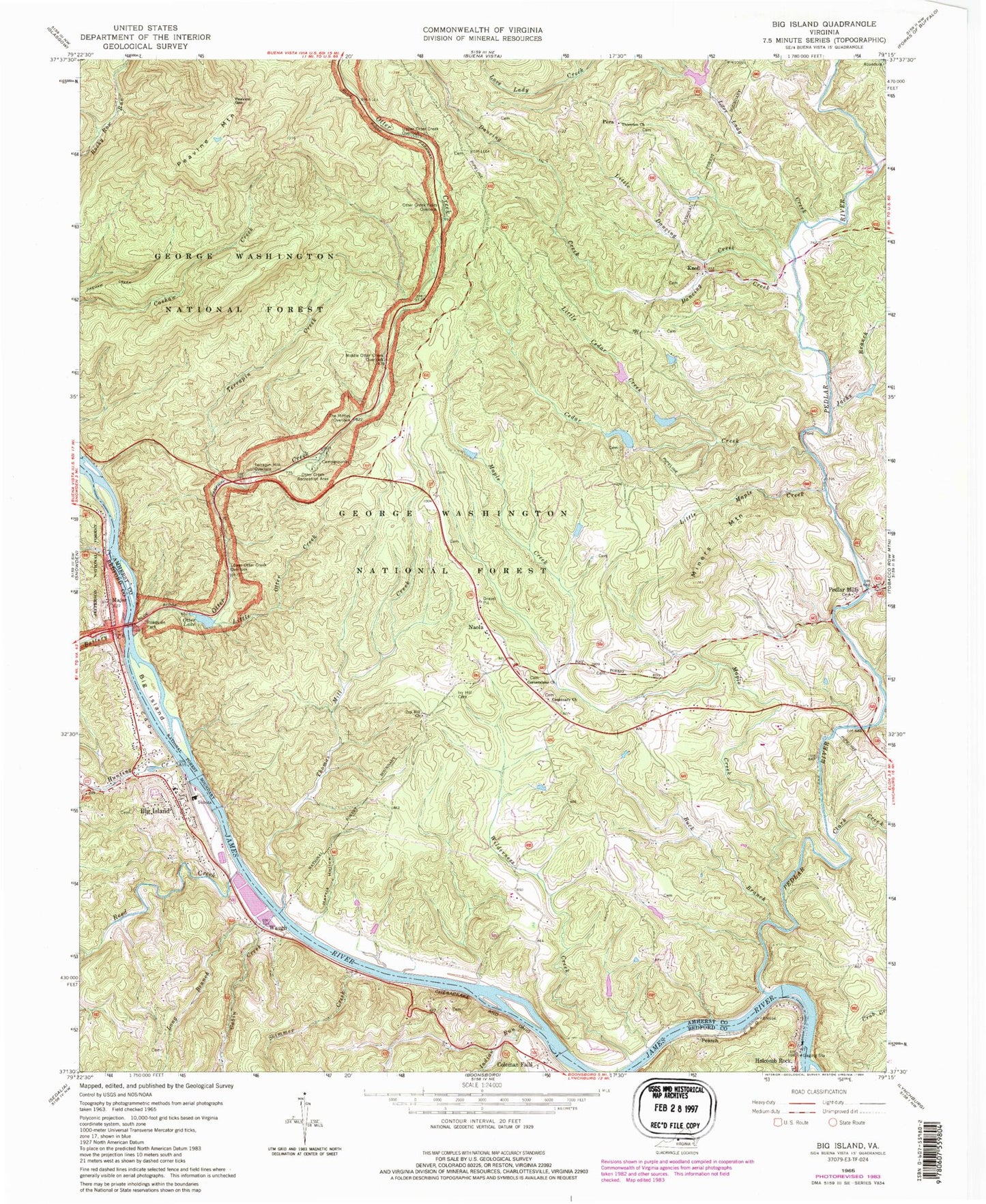
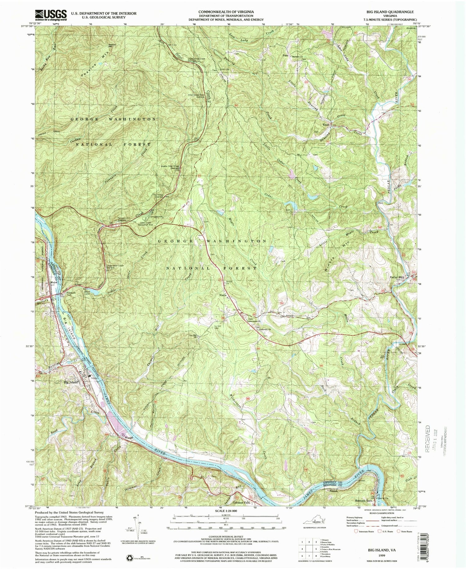
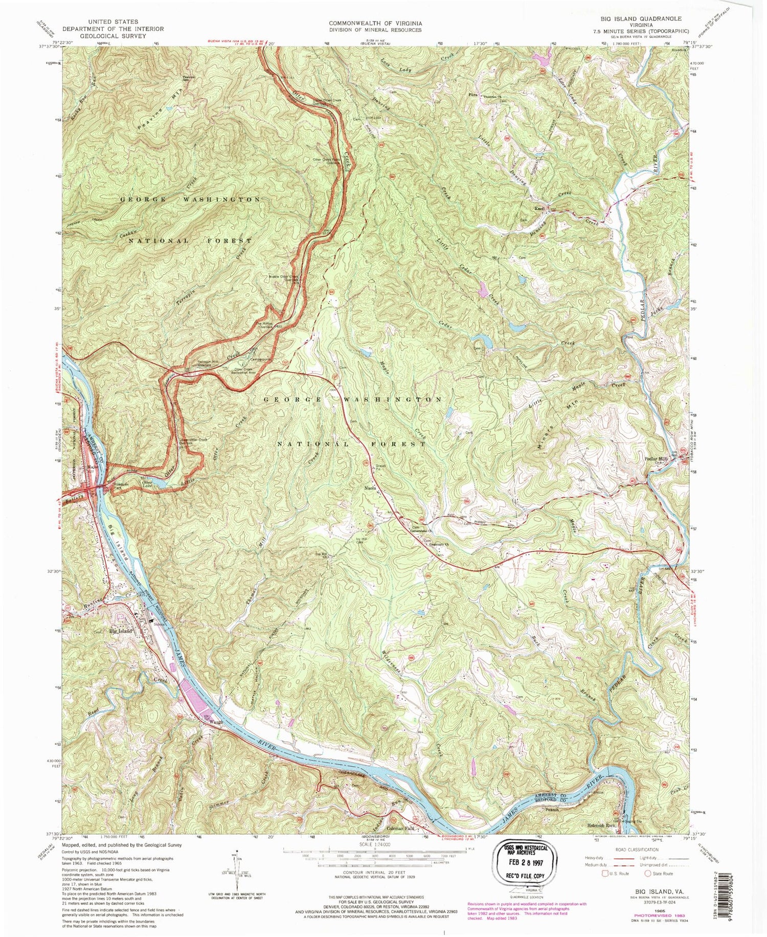
Classic USGS Big Island Virginia 7.5'x7.5' Topo Map
Couldn't load pickup availability
Historical USGS topographic quad map of Big Island in the state of Virginia. Typical map scale is 1:24,000, but may vary for certain years, if available. Print size: 24" x 27"
This quadrangle is in the following counties: Amherst, Bedford.
The map contains contour lines, roads, rivers, towns, and lakes. Printed on high-quality waterproof paper with UV fade-resistant inks, and shipped rolled.
Contains the following named places: Battery Creek, Big Island, Buck Branch, Cabin Creek, Cashaw Creek Trail, Cedar Creek, Centenary Church, Clark Creek, Corner Stone Baptist Church, Dancing Creek, Grants Hollow, Holcomb Rock, Horsley Creek, Hunting Creek, Indian Run, Ivy Hill Cemetery, Ivy Hill Church, Jacks Branch, Knoll, Little Cedar Creek, Little Dancing Creek, Little Maple Creek, Little Otter Creek, Long Branch, Love Lady Creek, Lower Otter Creek Overlook, Major, Maple Creek, Middle Otter Creek Overlook, Miners Mountain, Otter Creek, Otter Creek Flats Overlook, Otter Creek Recreation Area, Peavine Gap, Pedlar Mills, Pedlar River, Peters Creek, Reed Creek, Skimmer Creek, Terrapin Creek, Terrapin Hill Overlook, The Riffles Overlook, Thomas Mill Creek, Thornton Church, Upper Otter Creek Overlook, Wilderness Creek, Harris Hollow, Shewey Ridge, Hamilton Knob, Big Island Dam, Big Island Reservoir, Colemans Fall Dam, Colemans Fall Reservoir, Pleasantview Hunt Club Pond, Burruss Dam, Holcomb Rock Dam, Otter Lake Dam, Big Island, Coleman Falls, Naola, Pearch, Pera, Waugh, Otter Lake, Pedlar, District 3, Big Island Volunteer Fire Department, Big Island Emergency Crew, Lyn Dan Heights Volunteer Fire Department, Big Island Census Designated Place, Big Island Post Office, Coleman Falls Post Office


