MyTopo
Classic USGS Big Kasock Mountain Nevada 7.5'x7.5' Topo Map
Couldn't load pickup availability
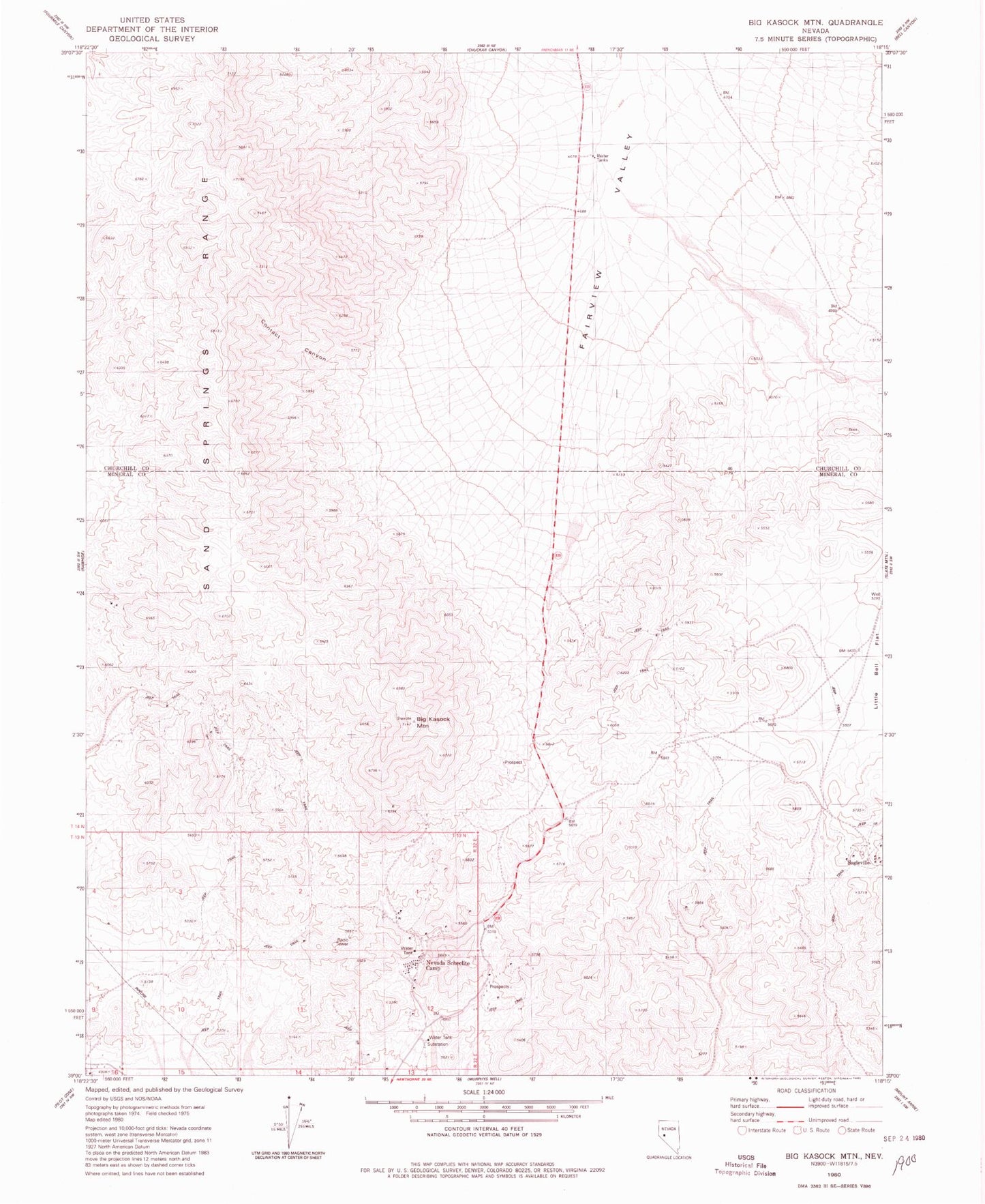
Historical USGS topographic quad map of Big Kasock Mountain in the state of Nevada. Map scale may vary for some years, but is generally around 1:24,000. Print size is approximately 24" x 27"
This quadrangle is in the following counties: Churchill, Mineral.
The map contains contour lines, roads, rivers, towns, and lakes. Printed on high-quality waterproof paper with UV fade-resistant inks, and shipped rolled.
Contains the following named places: Big Kasock Mountain, Contact Canyon, Eagleville, Eagleville Mine, Eagleville Mining District, Eagleville Post Office, Hooper Mine, Little Bell Flat, Little Bell Flat Well, Nevada Scheelite Camp, Nevada Scheelite Mill, Nevada Scheelite Mine, Rawhide Tungsten Mine, Sand Springs Range, Sand Springs Range Cairn, Scheelite Extension Mine, Sunnyside Mine, Yankee Girl Mine