MyTopo
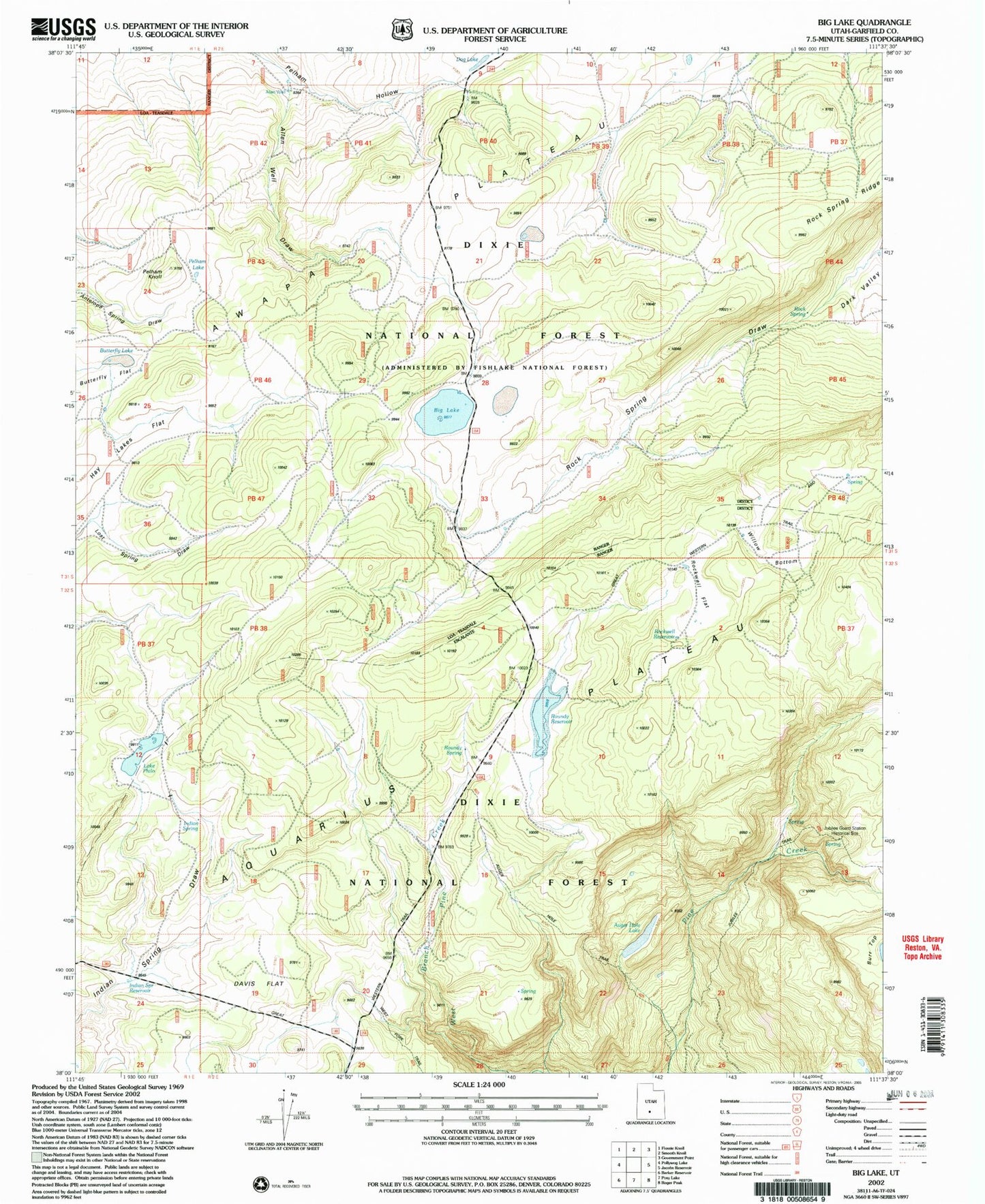
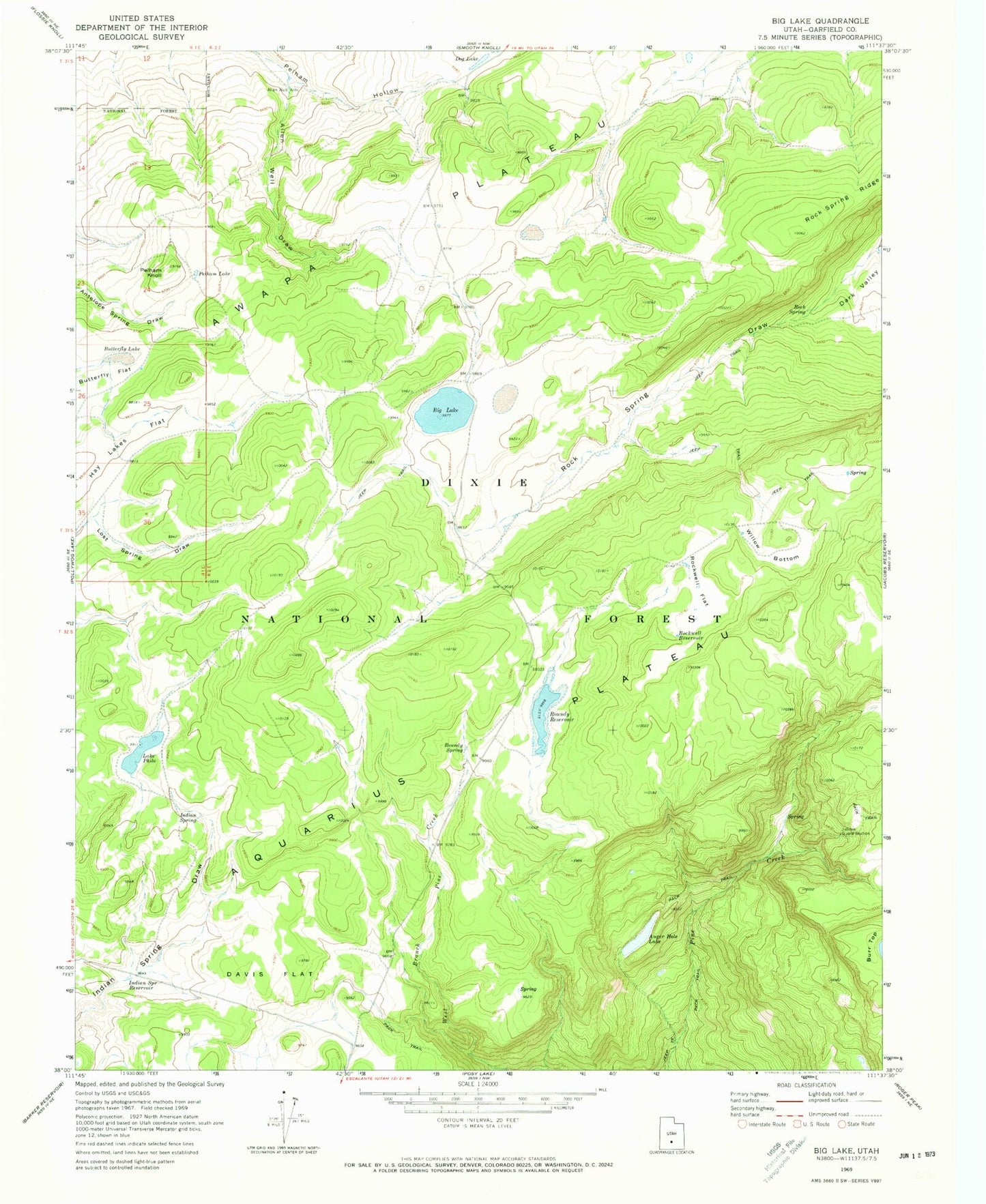
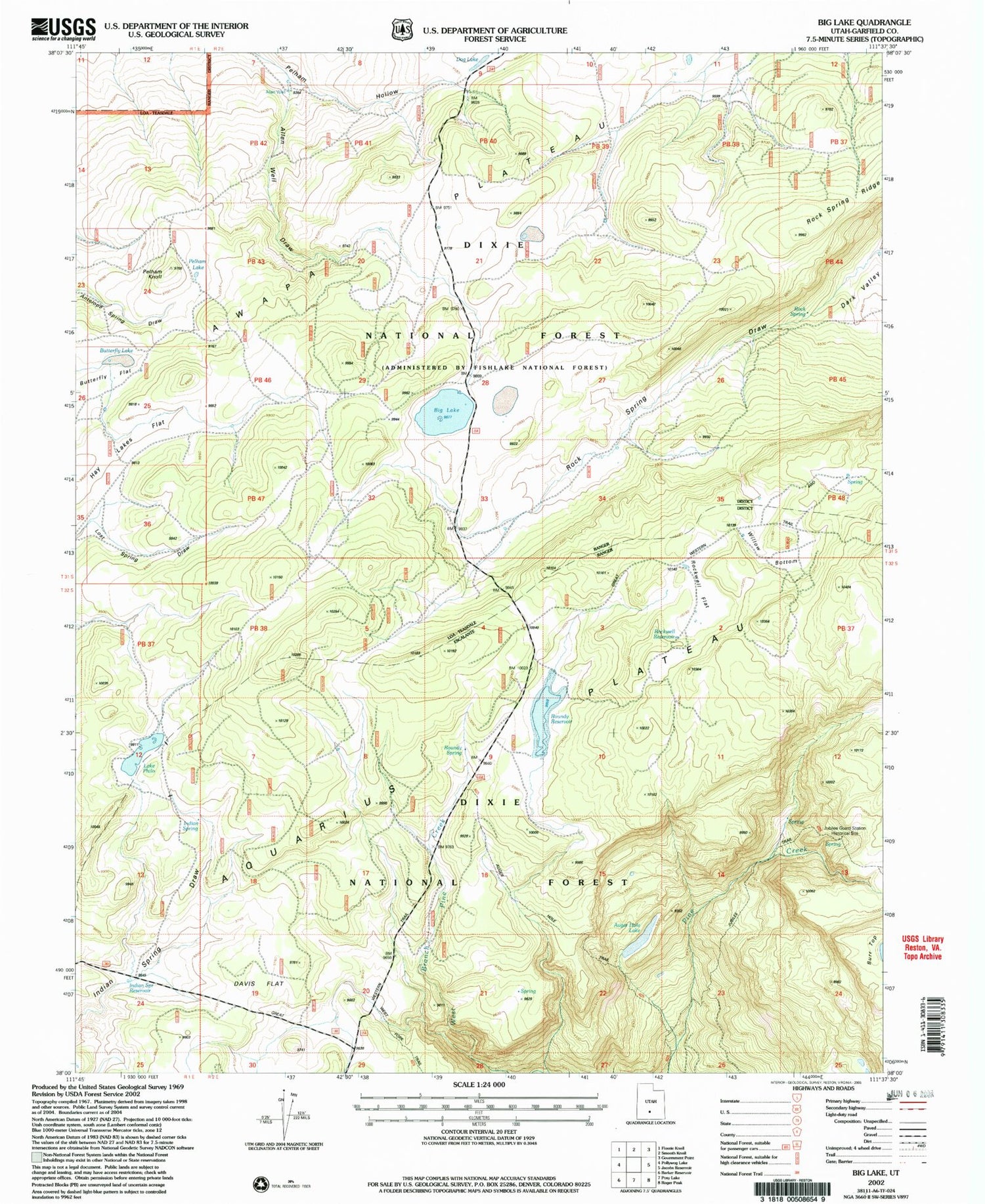
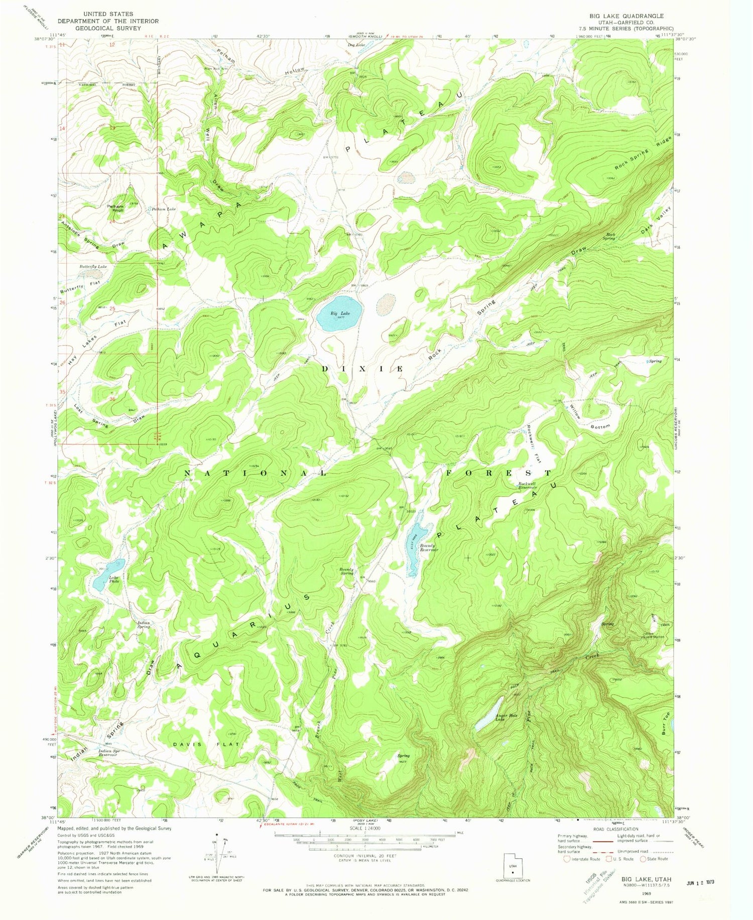
Classic USGS Big Lake Utah 7.5'x7.5' Topo Map
Couldn't load pickup availability
Historical USGS topographic quad map of Big Lake in the state of Utah. Map scale is 1:24000. Print size is approximately 24" x 27"
This quadrangle is in the following counties: Garfield.
The map contains contour lines, roads, rivers, towns, and lakes. Printed on high-quality waterproof paper with UV fade-resistant inks, and shipped rolled.
Contains the following named places: Allen Well, Allen Well Draw, Aquarius Plateau, Auger Hole Lake, Big Lake, Butterfly Flat, Butterfly Lake, Davis Flat, Indian Spring, Indian Spring Reservoir, Jubilee Guard Station, Lake Philo, Pelham Knoll, Pelham Lake, Rock Spring, Rock Spring Draw, Rock Spring Ridge, Rockwell Flat, Rockwell Reservoir, Roundy Reservoir, Roundy Reservoir Dam, Roundy Spring, Willow Bottom


