MyTopo
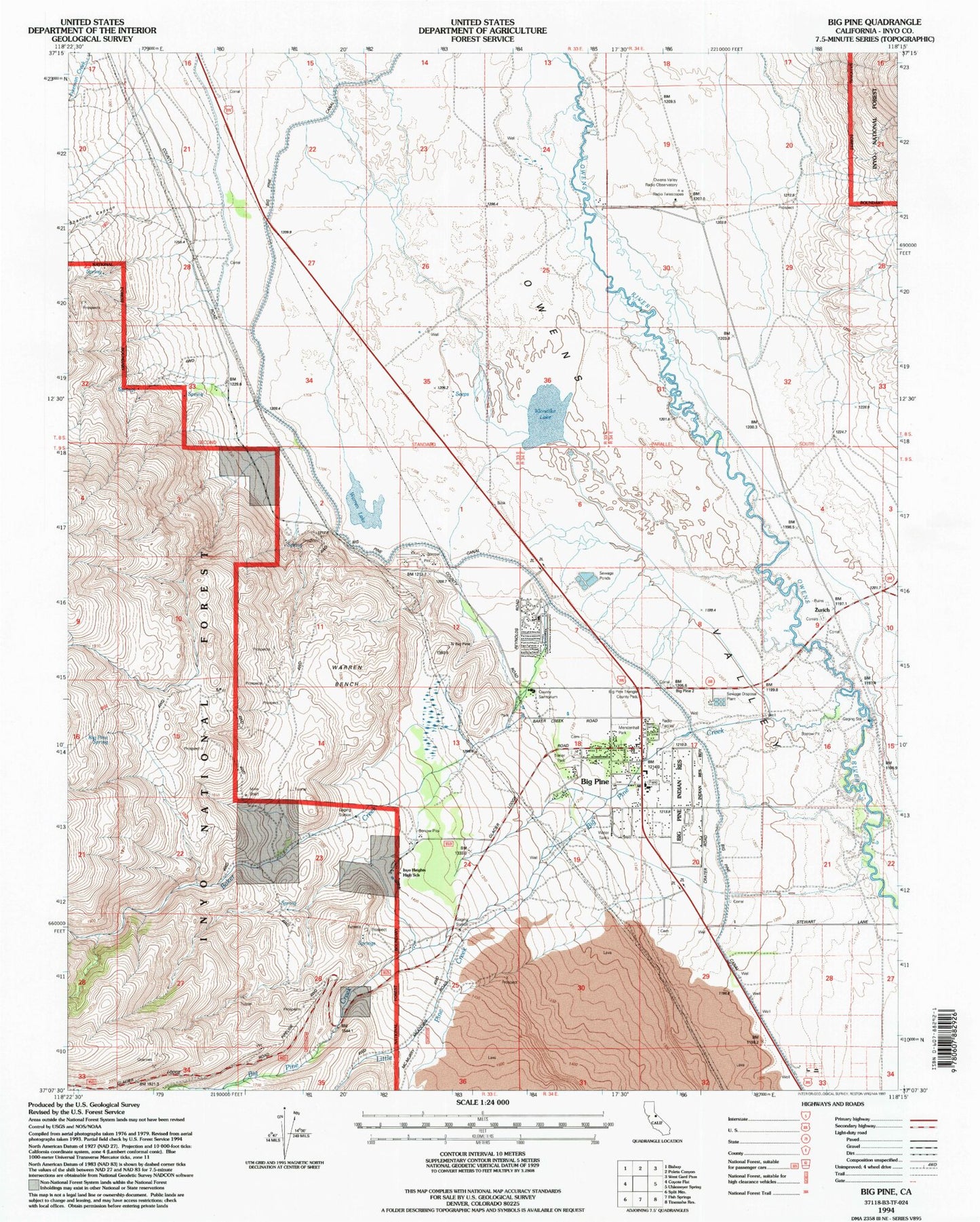
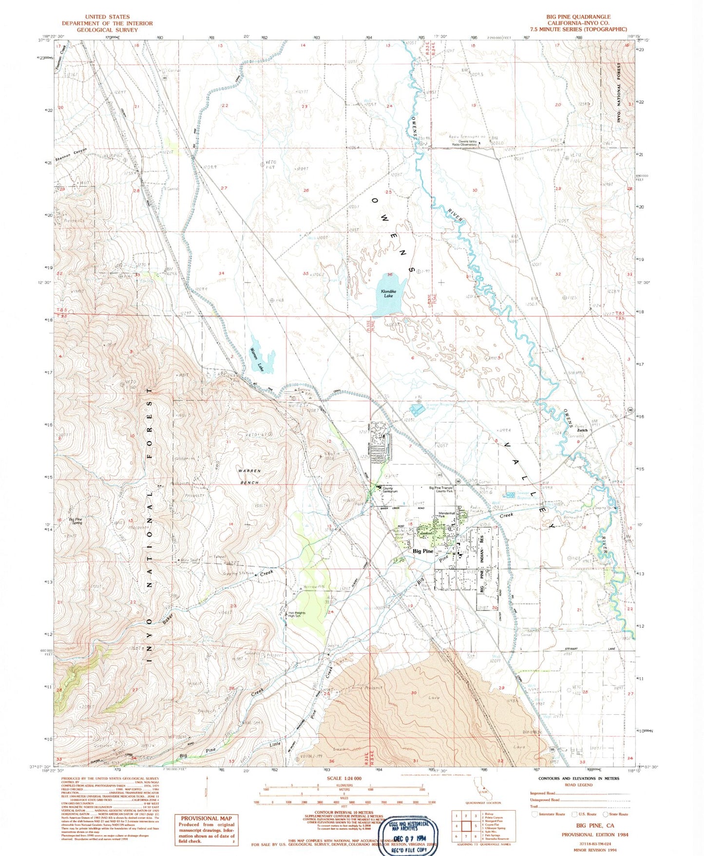
Classic USGS Big Pine California 7.5'x7.5' Topo Map
Couldn't load pickup availability
Historical USGS topographic quad map of Big Pine in the state of California. Map scale is 1:24000. Print size is approximately 24" x 27"
This quadrangle is in the following counties: Inyo.
The map contains contour lines, roads, rivers, towns, and lakes. Printed on high-quality waterproof paper with UV fade-resistant inks, and shipped rolled.
Contains the following named places: Baker Creek, Baker Creek Recreation Site, Bakoch Prospect, Big Pine, Big Pine Canal, Big Pine Cemetery, Big Pine Census Designated Place, Big Pine Community United Methodist Church, Big Pine Creek, Big Pine Fire Department, Big Pine High School, Big Pine K - 8 Elementary School, Big Pine Post Office, Big Pine Reservation, Big Pine Spring, Big Pine Triangle County Park, Inyo Camp, Inyo Heights High School, Klondike Lake, Little Pine Creek, Mendenhall Park, Owens Valley Radio Observatory, Owens Valley Ranch, Rolling Green Terrace, Shannon Canyon, Sierra White Quarry, Valley School (historical), Warren Bench, Warren Lake, Zurich