MyTopo
Classic USGS Big Round Lake Wisconsin 7.5'x7.5' Topo Map
Couldn't load pickup availability
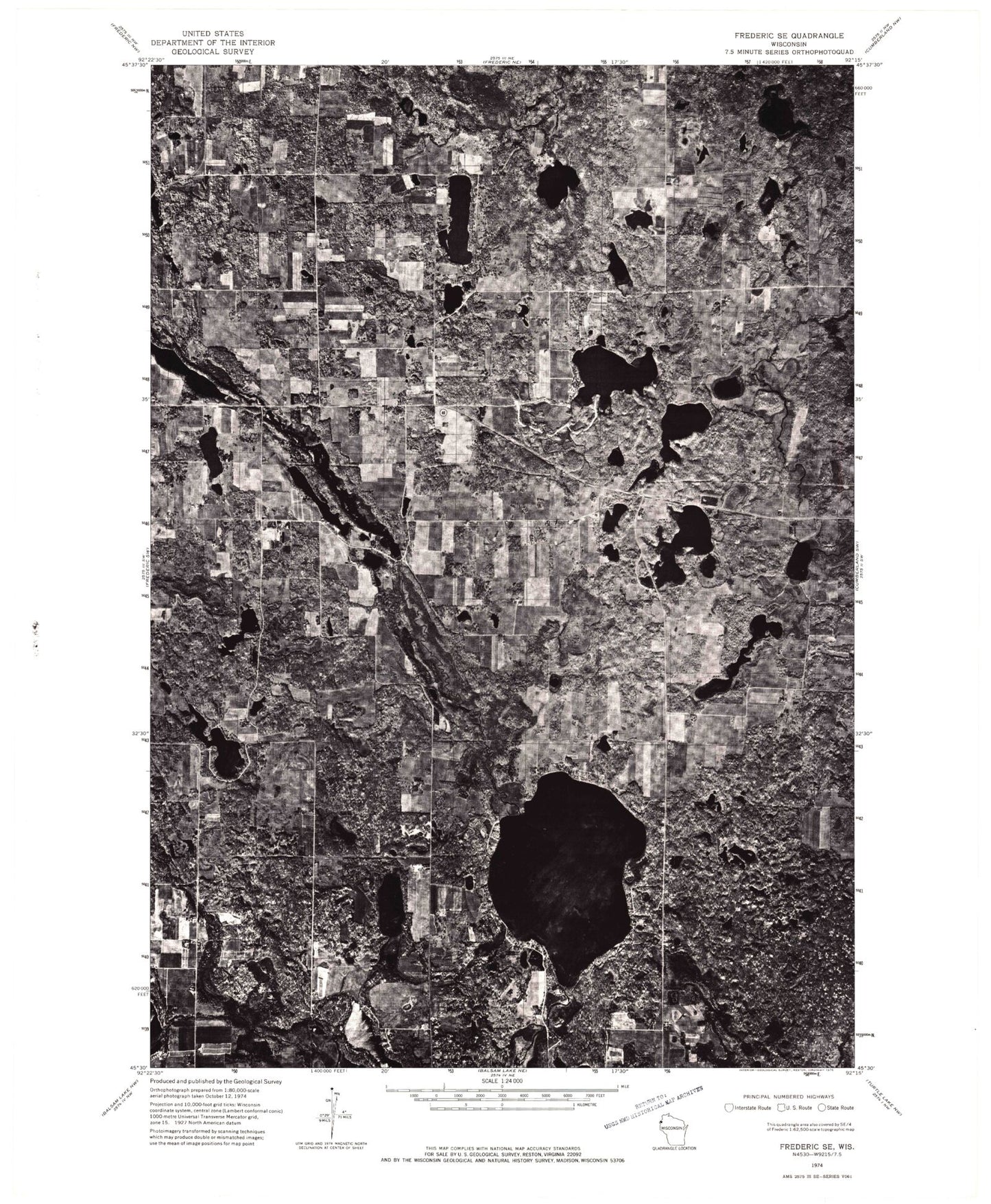
Historical USGS topographic quad map of Big Round Lake in the state of Wisconsin. Map scale may vary for some years, but is generally around 1:24,000. Print size is approximately 24" x 27"
This quadrangle is in the following counties: Polk.
The map contains contour lines, roads, rivers, towns, and lakes. Printed on high-quality waterproof paper with UV fade-resistant inks, and shipped rolled.
Contains the following named places: Andrus Lake, Bass Lake, Big Lake, Big Round Lake, Cragwood Corporation Number 2 H810 Dam, Dahl Lake, Depot Lake, Devils Marsh, Footes Lake, Hay Lake, Holst School, Johnson Lake, Johnstown Cemetery, LaFollette School, Lake 18-1 1, Lake Evelyn, Lamont Lake, Little Pine Lake, Little Ward Lake, Long Lake, Loon Lake, Lost Lake, Mackie Lake, McKenzie Lake, Mullins Lake, Pickerel Lake, Pine Lake, Rhinstad Lake, Round Lake Chapel, Saint Croix Reservation, Saint Paul Church, Sedge Lake, Straight River, Sucker Creek, Town of Bone Lake, Town of Georgetown, Vincent Lake, Ward Lake, Zion Church