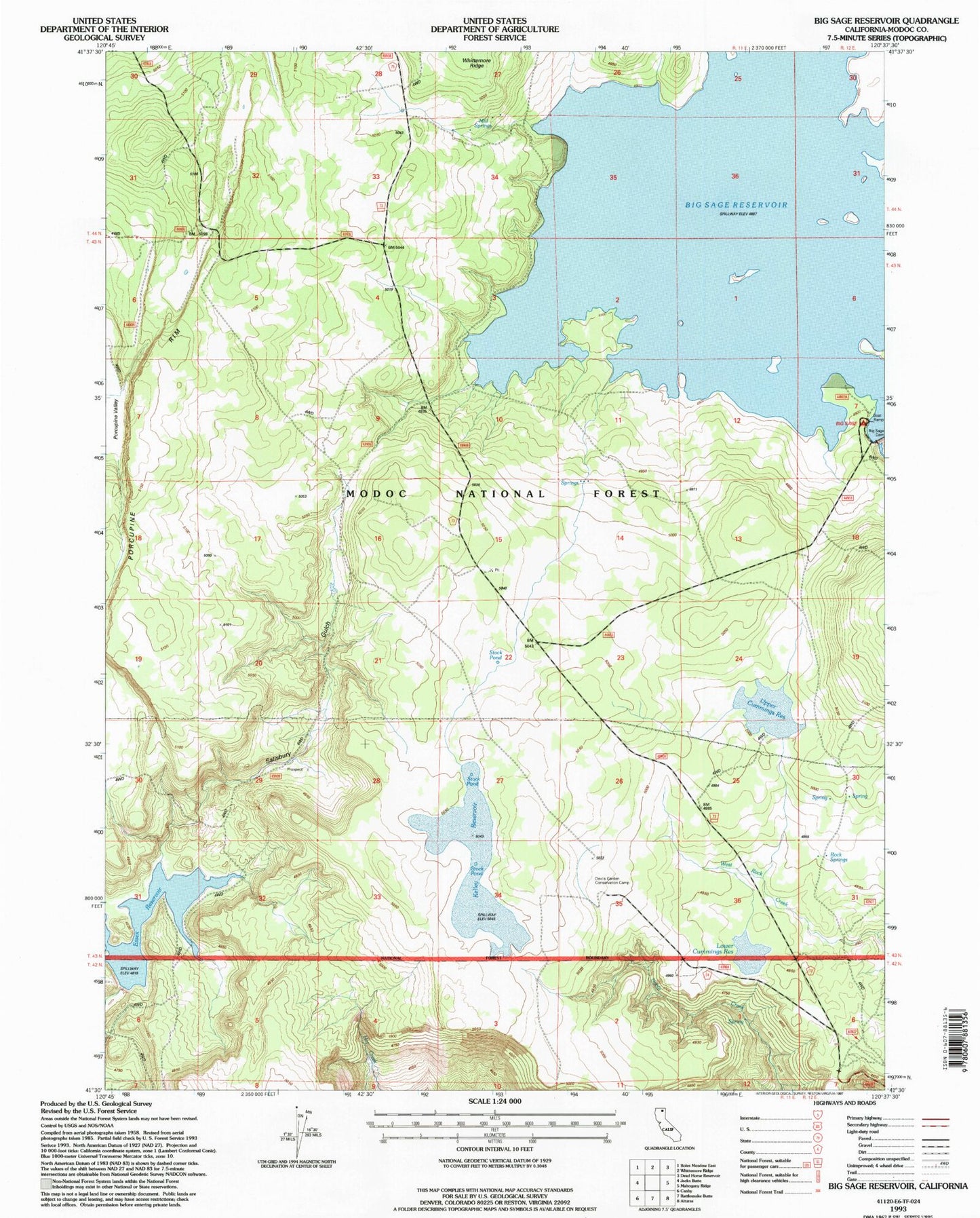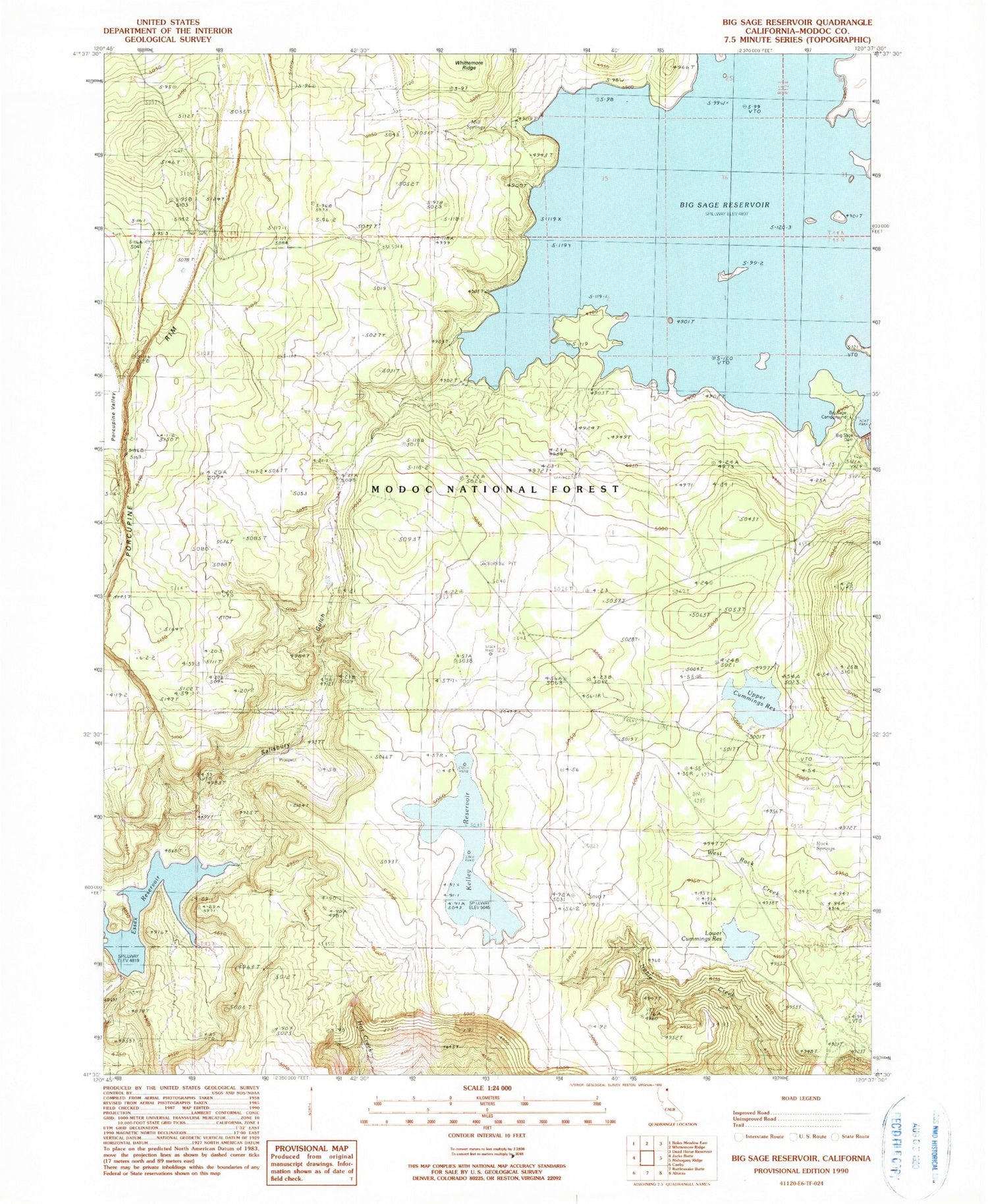
MyTopo
Classic USGS Big Sage Reservoir California 7.5'x7.5' Topo Map
Couldn't load pickup availability
Historical USGS topographic quad map of Big Sage Reservoir in the state of California. Map scale may vary for some years, but is generally around 1:24,000. Print size is approximately 24" x 27"
This quadrangle is in the following counties: Modoc.
The map contains contour lines, roads, rivers, towns, and lakes. Printed on high-quality waterproof paper with UV fade-resistant inks, and shipped rolled.
Contains the following named places: Alturas Division, Big Sage 55-000 Dam, Big Sage Campground, Big Sage Dam, Big Sage Reservoir, Cummings Reservoir Number 1 148 Dam, Devils Garden Airport, Essex Reservoir, Kelley Reservoir, Lower Cummings Reservoir, Mill Spring, Modoc County, Porcupine Rim, Rock Spring, S X 112 Dam, Salisbury Gulch, Upper Cummings Reservoir