MyTopo
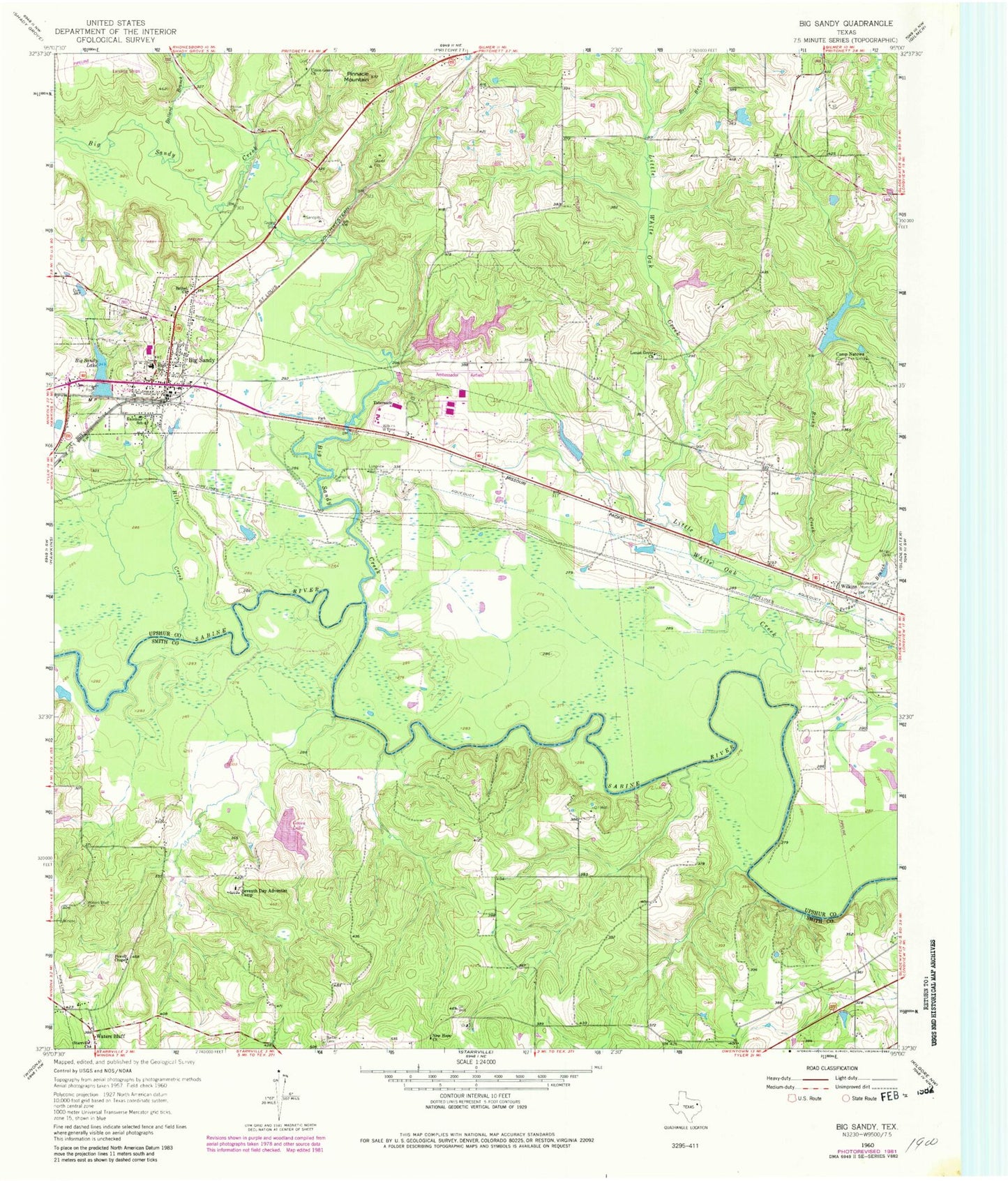
Classic USGS Big Sandy Texas 7.5'x7.5' Topo Map
Couldn't load pickup availability
Historical USGS topographic quad map of Big Sandy in the state of Texas. Typical map scale is 1:24,000, but may vary for certain years, if available. Print size: 24" x 27"
This quadrangle is in the following counties: Smith, Upshur.
The map contains contour lines, roads, rivers, towns, and lakes. Printed on high-quality waterproof paper with UV fade-resistant inks, and shipped rolled.
Contains the following named places: Ballard Branch, Barber Cemetery, Bee Branch, Bethel Church, Big Sandy, Big Sandy Lake, Camp Natowa, Chilton Cemetery, Excelsior School, Gladewater Memorial Park, Hills Creek, Hoover Cemetery, Little White Oak Creek, Locust Grove Church, Longview Water Tank, Mings Cemetery, New Hope Church, Perdue Branch, Pinnacle Mountain, Powell Chapel, Rocky Creek, Seventh Day Adventist Camp, Starville Church, Union Grove Church, Waters Bluff Cemetery, Big Sandy Creek, Waters Bluff, Wilkins, ALERT Field, Green Lake Dam, Green Lake, Ambassador College Reservoir Dam, Ambassador College Reservoir, Gladewater Hunt and Fish Club Dam, Gladewater Hunt and Fish Club Lake, Big Sandy Dam, Longview Big Sandy Dam, Longview Big Sandy Reservoir, Reynolds Lake Dam, Reynolds Lake, Renshaw Lake Dam, Renshaw Lake, Big Sandy Division, Evelyn Meador Branch Library, Deer Park Public Library, United Church of God, Church of Christ, Center Point, Town of Big Sandy, Big Sandy Fire Department, Big Sandy Police Department, Big Sandy City Hall, Big Sandy Post Office


