MyTopo
Classic USGS Big Sheep Mountain NW Montana 7.5'x7.5' Topo Map
Regular price
$16.95
Regular price
Sale price
$16.95
Unit price
per
Couldn't load pickup availability
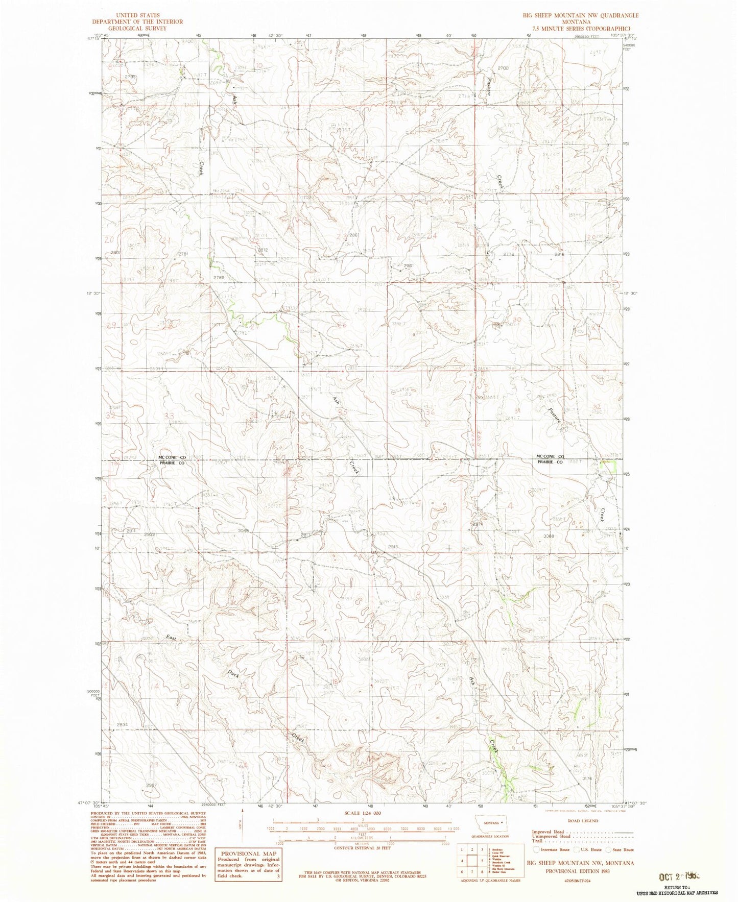
Historical USGS topographic quad map of Big Sheep Mountain NW in the state of Montana. Map scale may vary for some years, but is generally around 1:24,000. Print size is approximately 24" x 27"
This quadrangle is in the following counties: McCone, Prairie.
The map contains contour lines, roads, rivers, towns, and lakes. Printed on high-quality waterproof paper with UV fade-resistant inks, and shipped rolled.
Contains the following named places: 16N48E09ACC_01 Well, 16N48E17ACC_01 Well, 17N47E16DDDD01 Well, 17N48E29BDCB01 Well, Dockstader School, Tusler Creek Oyargers and Pardies Dam