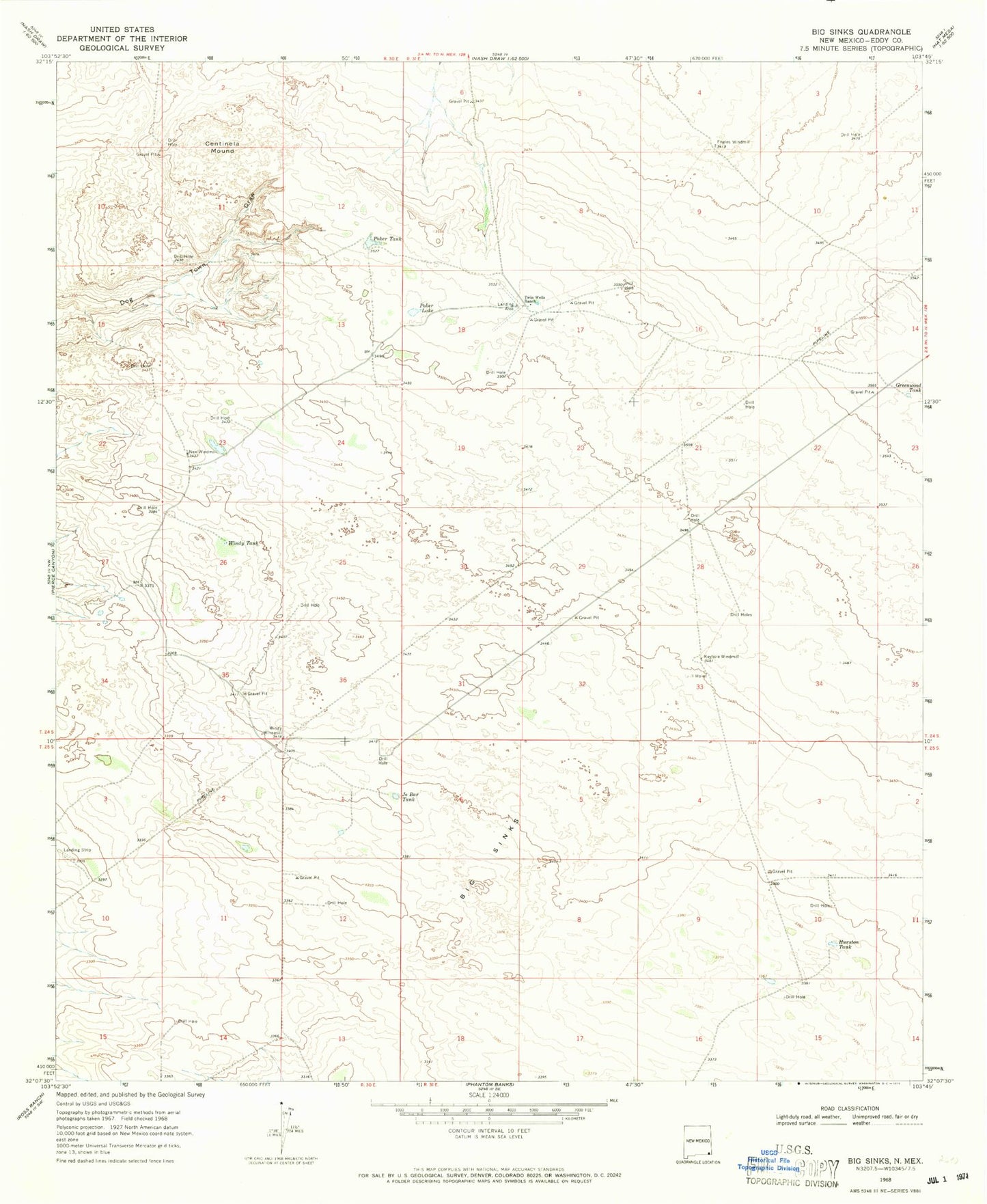
MyTopo
Classic USGS Big Sinks New Mexico 7.5'x7.5' Topo Map
Couldn't load pickup availability
Historical USGS topographic quad map of Big Sinks in the state of New Mexico. Map scale may vary for some years, but is generally around 1:24,000. Print size is approximately 24" x 27"
This quadrangle is in the following counties: Eddy.
The map contains contour lines, roads, rivers, towns, and lakes. Printed on high-quality waterproof paper with UV fade-resistant inks, and shipped rolled.
Contains the following named places: 06641 Water Well, 07046 Water Well, 07048 Water Well, 07049 Water Well, 07050 Water Well, 07051 Water Well, 20020 Water Well, Big Sinks, Centinela Mound, Eagles Windmill, Greenwood Tank, Hurston Tank, Jo Bar Tank, Keyhole Windmill, New Windmill, Poker Lake, Poker Tank, Twin Wells Ranch, Windy Tank, Windy Windmill