MyTopo
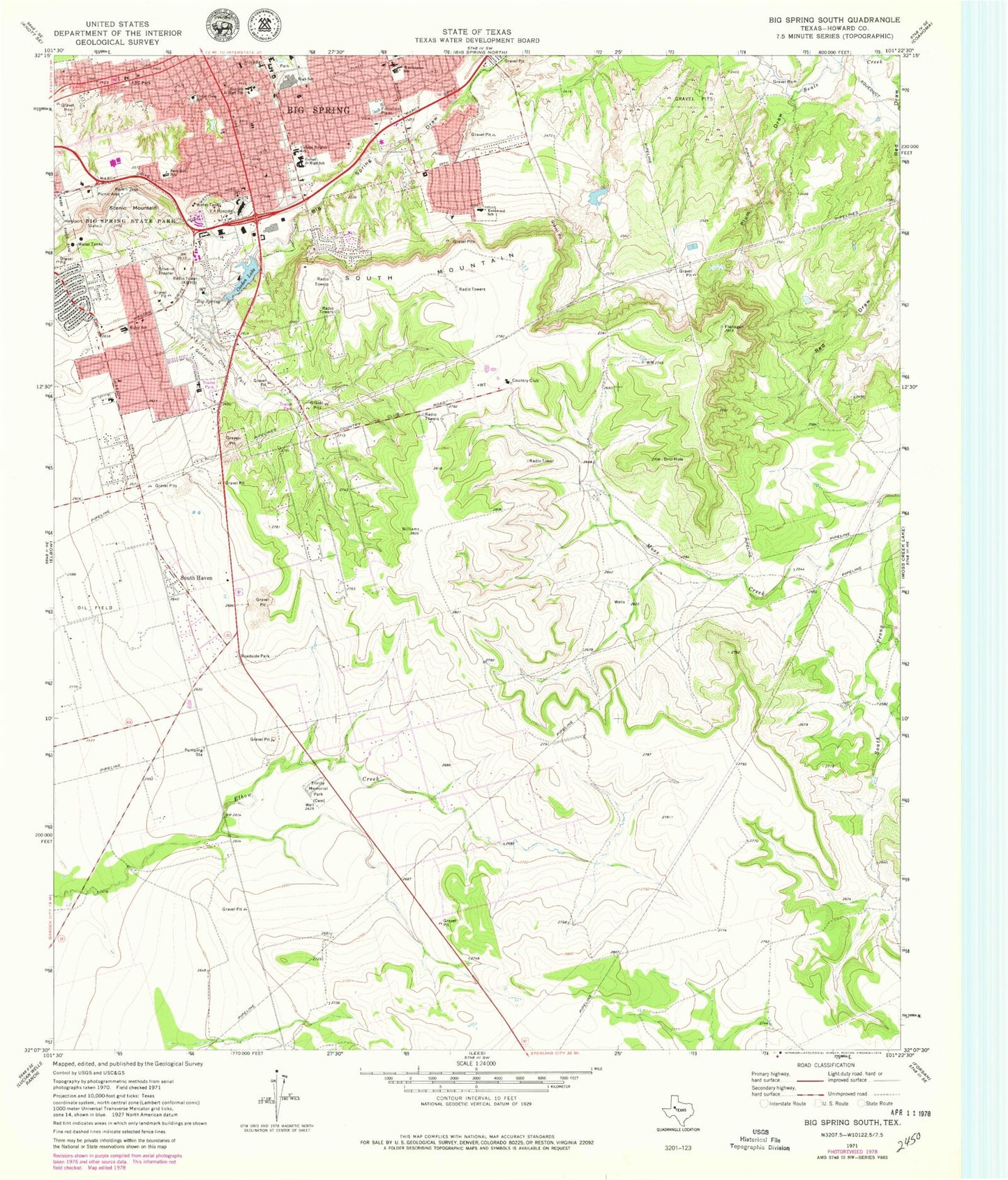
Classic USGS Big Spring South Texas 7.5'x7.5' Topo Map
Couldn't load pickup availability
Historical USGS topographic quad map of Big Spring South in the state of Texas. Map scale may vary for some years, but is generally around 1:24,000. Print size is approximately 24" x 27"
This quadrangle is in the following counties: Howard.
The map contains contour lines, roads, rivers, towns, and lakes. Printed on high-quality waterproof paper with UV fade-resistant inks, and shipped rolled.
Contains the following named places: ABC Park, Assembly of God Church Evangel Temple, Berea Baptist Church, Big Spring, Big Spring Division, Big Spring Fire Department Station 2, Big Spring Fire Department Station 3, Big Spring Fire Department Station 5, Big Spring High School, Big Spring Intermediate School, Big Spring State Park, Birdwell Lane Baptist Church, Birdwell Park, Cedar Crest School, Christs Community Church, Church of Christ 14th and Main, Church of Christ Cedar Ridge, City of Big Spring, College Baptist Church, College Heights Elementary School, Comanche Lake Dam, Comanche Trail City Park, Comanche Trail Lake, First Church of God, First Church of the Nazarene, George H O'Brien Jr Veterans Affairs Medical Center, Goliad Elementary School, Hillcrest Baptist Church, Howard County Volunteer Fire Department Silver Heels, Howard County Volunteer Fire Department Tubbs, Iglesia Bautista Central Church, Jet Drive-In, KBST-FM (Big Spring), KBYG-AM (Big Spring), Kentwood Elementary School, Kenwood School, Marcy Elementary School, New Mount Zion Baptist Church, Park Hill School, Plum Draw, Primitive Baptist Church, Runnels Junior High School, Saint Marys Episcopal Church, Saint Paul Lutheran Church, Scenic Mountain, Scenic Mountain Medical Center, Seventh Day Adventist Church, South Haven, South Mountain, South Prong Moss Creek, Trinity Baptist Church, Trinity Memorial Park, Washington Elementary School, Washington School, Webb Village


