MyTopo
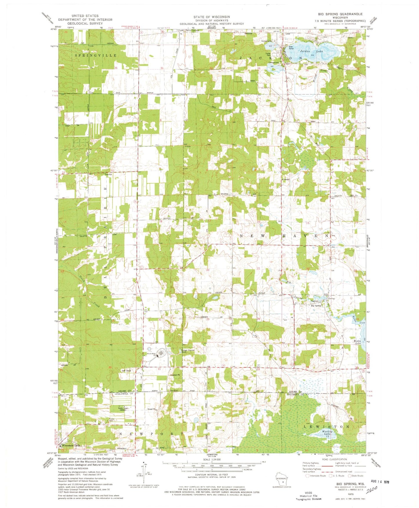
Classic USGS Big Spring Wisconsin 7.5'x7.5' Topo Map
Couldn't load pickup availability
Historical USGS topographic quad map of Big Spring in the state of Wisconsin. Map scale may vary for some years, but is generally around 1:24,000. Print size is approximately 24" x 27"
This quadrangle is in the following counties: Adams, Columbia.
The map contains contour lines, roads, rivers, towns, and lakes. Printed on high-quality waterproof paper with UV fade-resistant inks, and shipped rolled.
Contains the following named places: Badger Valley School, Big Spring, Big Spring Creek, Burns Cove, Davis Corners, Dell Prairie, Dell Prairie School, Gaffney Airport, Jordan Lake, Polish Paradise Airport, Town of New Haven, Ward School, Weeting Lake, WNNO-AM (Wisconsin Dells), WNNO-FM (Wisconsin Dells), World Wide Church, ZIP Code: 53965