MyTopo
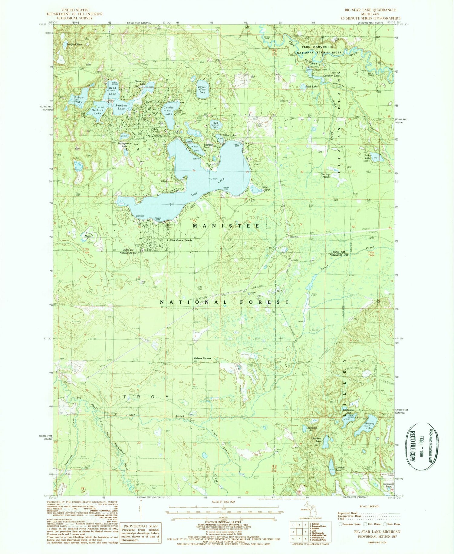
Classic USGS Big Star Lake Michigan 7.5'x7.5' Topo Map
Couldn't load pickup availability
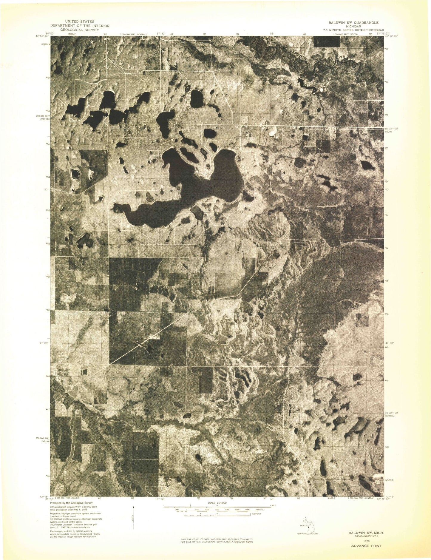
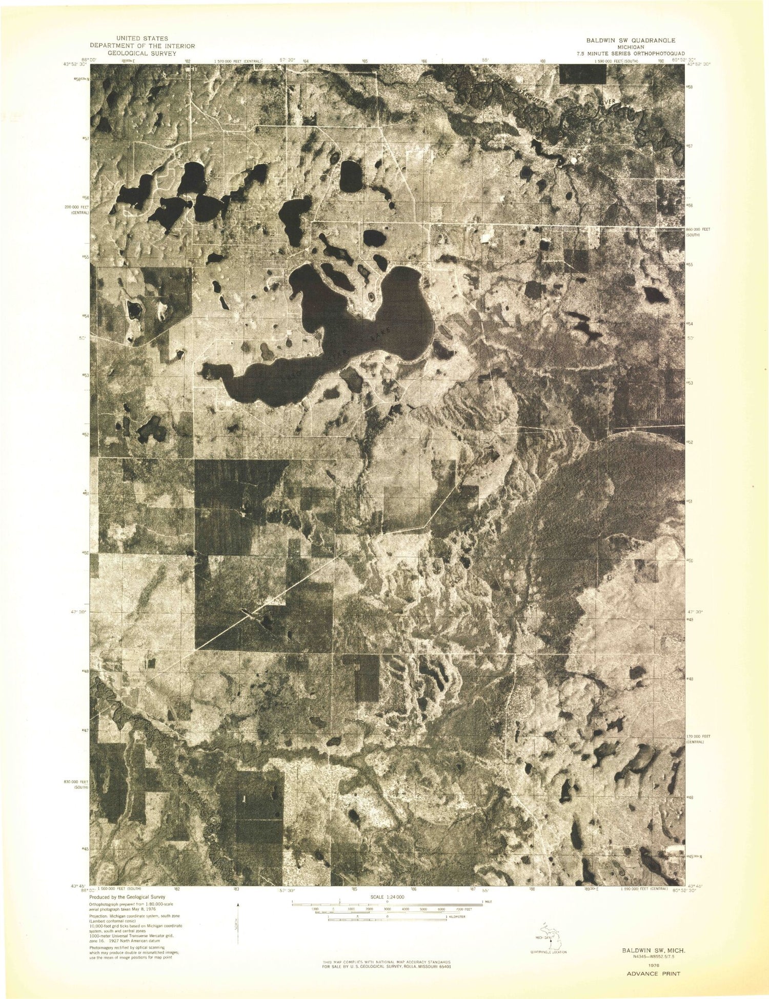
Historical USGS topographic quad map of Big Star Lake in the state of Michigan. Map scale is 1:24000. Print size is approximately 24" x 27"
This quadrangle is in the following counties: Lake, Newaygo.
The map contains contour lines, roads, rivers, towns, and lakes. Printed on high-quality waterproof paper with UV fade-resistant inks, and shipped rolled.
Contains the following named places: Amaung Lake, Basford Lake, Big Star Lake, Big Star Lake Church, Bradford Lake, Cecilia Lake, Cedar Creek, Condon Lake, Danaher Creek, Danaher Lake, Duck Lake, Freeman Creek, Frog Marsh, Gifford Lake, Gleasons Landing Recreation Area, Highbank Lake, Highbank Lake Recreation Area, Honeymoon Lake, Honeymoon Lake Snowmobile Trail, Jenks Creek, Jenks Lake, Kenosha Lake, Lake Community Bible Church, Lake Township Fire Department, Lamoreaux Lake, Marquette Trails Country Club, Miller Lake, Mud Lake, Orchard Lake, Otterman Lake, Oxbow Lake, Pine Grove Beach, Rainbow Lake, Reed Lake, Sawkaw Lake, Shonenya Lake, Star Lake Lookout Tower, Star Marsh, Sterling Marsh, Township of Lake, Township of Troy, Triple Lakes Creek, Walkers Corners