MyTopo
Classic USGS Big Table Idaho 7.5'x7.5' Topo Map
Couldn't load pickup availability
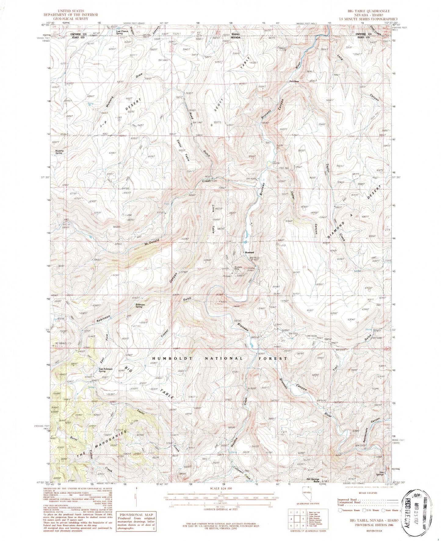
Historical USGS topographic quad map of Big Table in the states of Idaho, Nevada. Typical map scale is 1:24,000, but may vary for certain years, if available. Print size: 24" x 27"
This quadrangle is in the following counties: Elko, Owyhee.
The map contains contour lines, roads, rivers, towns, and lakes. Printed on high-quality waterproof paper with UV fade-resistant inks, and shipped rolled.
Contains the following named places: Last Chance Spring, Long Canyon, Scott Table, Ivada (historical), Gold Basin Mining District, Taylor Pocket, Bueasta (historical), Big Table, Bruneau Mine, Casey Table, Cedar Canyon, Coffeepot Creek, Diamond Trail, East Fork Robinson Canyon, East Robinson Spring, Hagenbuch Ranch, Hall Ranch, Hot Springs, Hot Springs Butte, J-P Desert, Jack Scott Ranch, Little Table, McDonald Creek, Meadow Creek, Mink Ranch, Mustang Draw, Mustang Spring, Old Scott Ranch, Rattlesnake Canyon, Robinson Canyon, Robinson Spring, Rock House, Rowland, Budge Rizzi Ranch (historical), Scott Table, Taylor Creek, Timber Gulch, Trail Gulch, Diamond A Trail, Road Gulch, Long Canyon Reservoir, Scott Table Reservoir, Scott Ranch, Bryan District, Bueasta Post Office, Rowland Post Office (historical)