
MyTopo
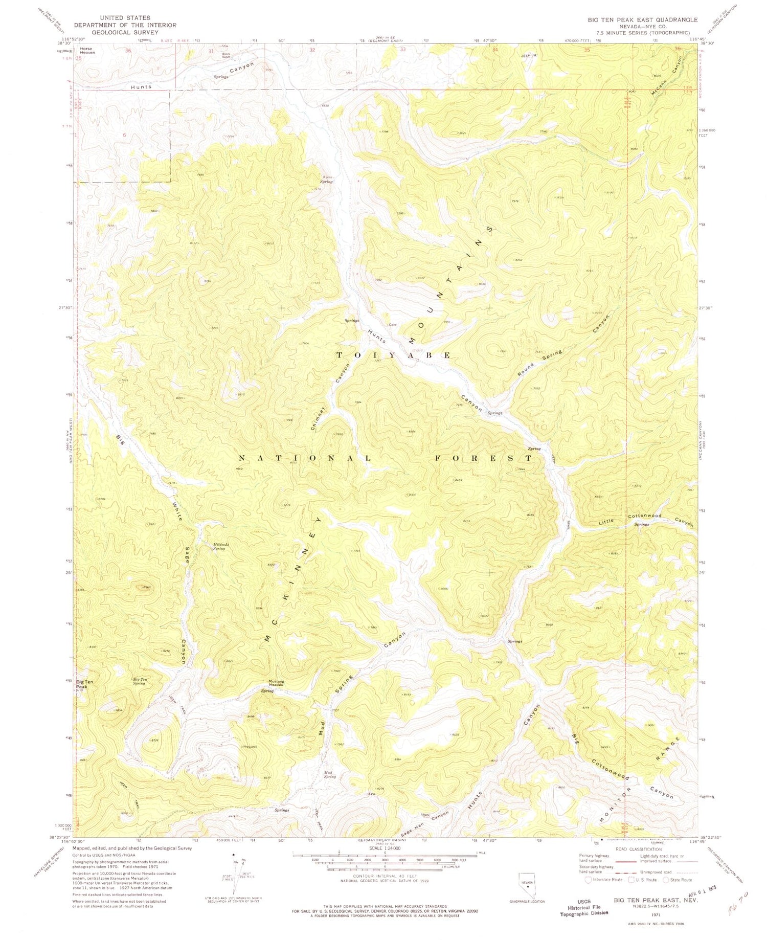
Classic USGS Big Ten Peak East Nevada 7.5'x7.5' Topo Map
Couldn't load pickup availability
Historical USGS topographic quad map of Big Ten Peak East in the state of Nevada. Map scale may vary for some years, but is generally around 1:24,000. Print size is approximately 24" x 27"
This quadrangle is in the following counties: Nye.
The map contains contour lines, roads, rivers, towns, and lakes. Printed on high-quality waterproof paper with UV fade-resistant inks, and shipped rolled.
Contains the following named places: Big Cottonwood Canyon, Big Ten Spring, Big White Sage Spring, Chimney Canyon, Good Springs, Hunts Canyon Forest Service Facility, Hunts Ranch, Kiney, Little Cottonwood Canyon, Longstreet Mining District, McKinney Mountains, Mildreds Spring, Mud Spring, Mud Spring Canyon, Mustang Meadow, Round Spring Canyon, Sage Hen Canyon, Twentynine Mine


