MyTopo
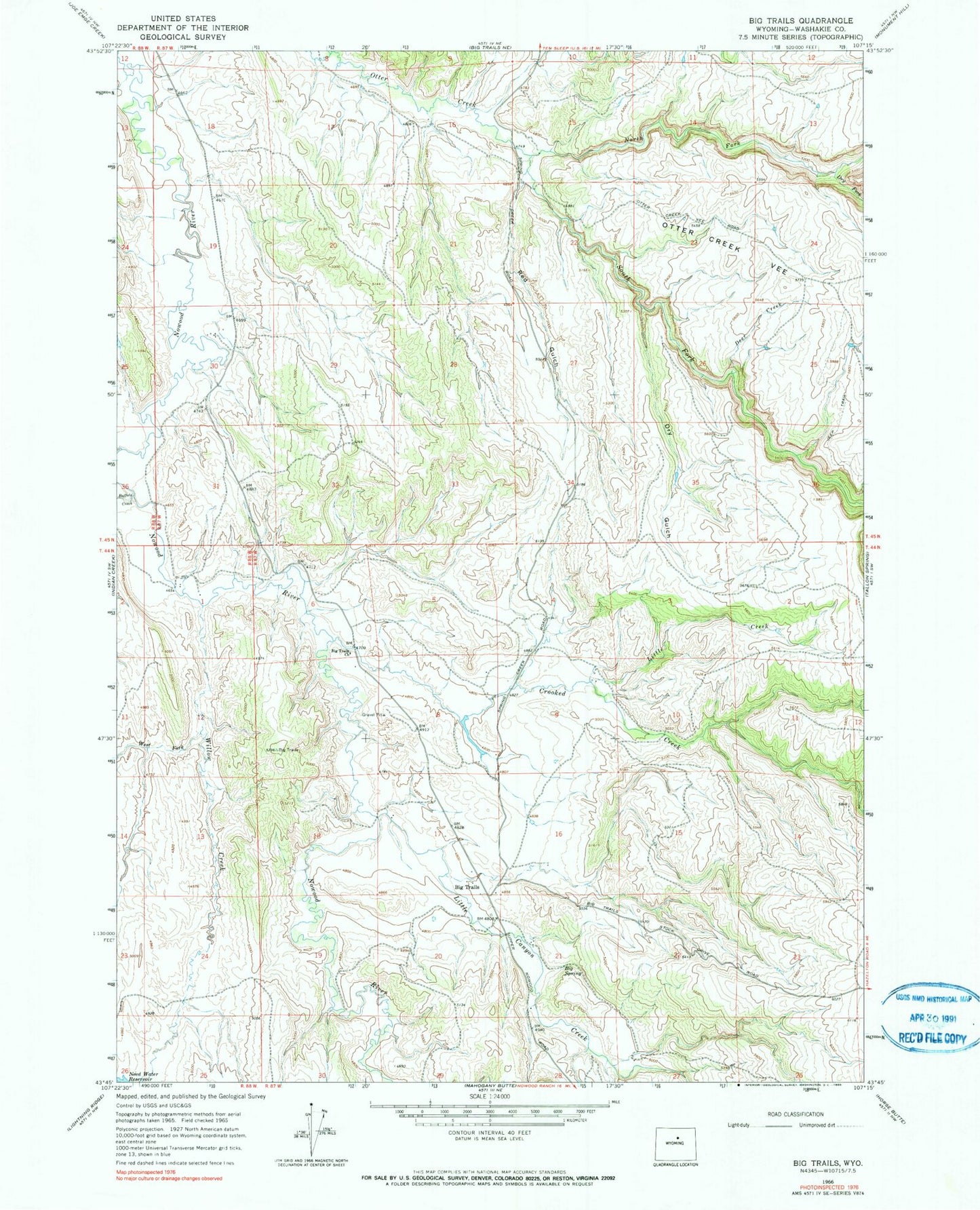
Classic USGS Big Trails Wyoming 7.5'x7.5' Topo Map
Couldn't load pickup availability
Historical USGS topographic quad map of Big Trails in the state of Wyoming. Map scale may vary for some years, but is generally around 1:24,000. Print size is approximately 24" x 27"
This quadrangle is in the following counties: Washakie.
The map contains contour lines, roads, rivers, towns, and lakes. Printed on high-quality waterproof paper with UV fade-resistant inks, and shipped rolled.
Contains the following named places: Big Spring, Big Trails, Big Trails Church, Buffalo Creek, Crooked Creek, Deer Creek, Dry Fork Otter Creek, Dry Gulch, Little Canyon Creek, Little Creek, Need Water Reservoir, North Fork Otter Creek, Otter Creek Ranch Airport, Red Gulch, Rimrock Draw, South Fork Otter Creek, Star Pit, Ten Sleep Division, West Fork Willow Creek, Willow Creek