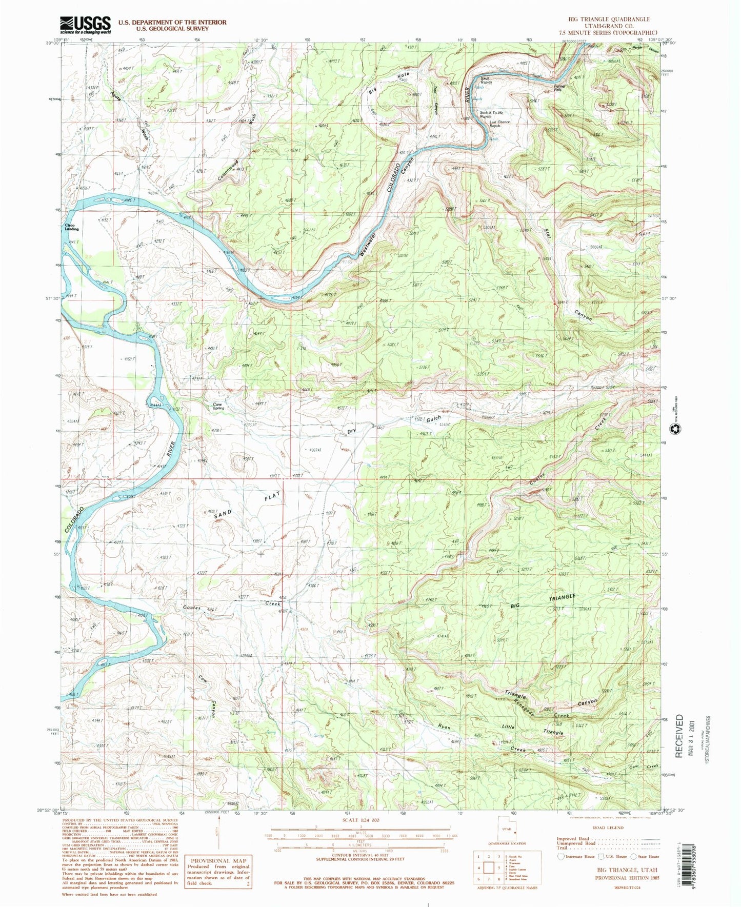
MyTopo
Classic USGS Big Triangle Utah 7.5'x7.5' Topo Map
Couldn't load pickup availability
Historical USGS topographic quad map of Big Triangle in the state of Utah. Map scale may vary for some years, but is generally around 1:24,000. Print size is approximately 24" x 27"
This quadrangle is in the following counties: Grand.
The map contains contour lines, roads, rivers, towns, and lakes. Printed on high-quality waterproof paper with UV fade-resistant inks, and shipped rolled.
Contains the following named places: Agate Wash, Big Hole, Big Triangle, Cane Spring, Cisco Landing, Coach Creek, Coates Creek, Cottonwood Wash, Cow Canyon, Cow Creek, Dry Gulch, Funnel Falls, Gavin Ranch, Hallet Ranch, Knowles Ranch, Last Chance Rapids, Little Triangle, Renegade Creek, Revoir Ranch, Ryan Creek, Sand Flat, Skull Rapids, Sock-It-To-Me Rapids, Star Canyon, Trail Canyon, Triangle Canyon, Westwater Canyon, ZIP Code: 84515