MyTopo
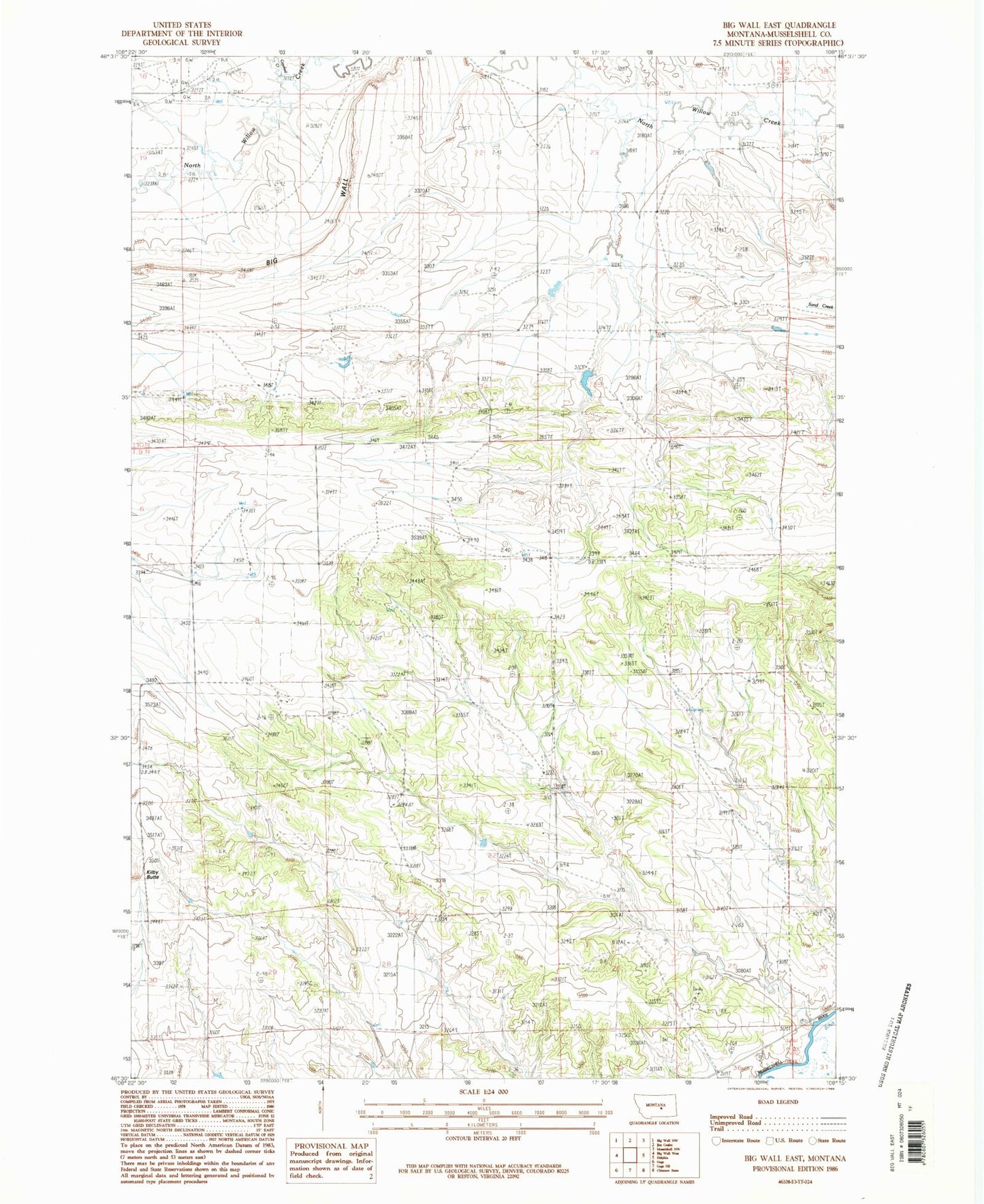
Classic USGS Big Wall East Montana 7.5'x7.5' Topo Map
Regular price
$16.95
Regular price
Sale price
$16.95
Unit price
per
Couldn't load pickup availability
Historical USGS topographic quad map of Big Wall East in the state of Montana. Map scale may vary for some years, but is generally around 1:24,000. Print size is approximately 24" x 27"
This quadrangle is in the following counties: Musselshell.
The map contains contour lines, roads, rivers, towns, and lakes. Printed on high-quality waterproof paper with UV fade-resistant inks, and shipped rolled.
Contains the following named places: 09N26E30DCB_01 Well, 09N27E02DACD01 Well, 09N27E09ACBC01 Well, 09N27E10BAA_01 Well, 09N27E16ACCC01 Well, 09N27E35DCBA01 Well, 14N27E29DBB_01 Well, Big Wall, Crooked Creek, Drum Gulch, Kilby Butte, Kilby Butte Colony