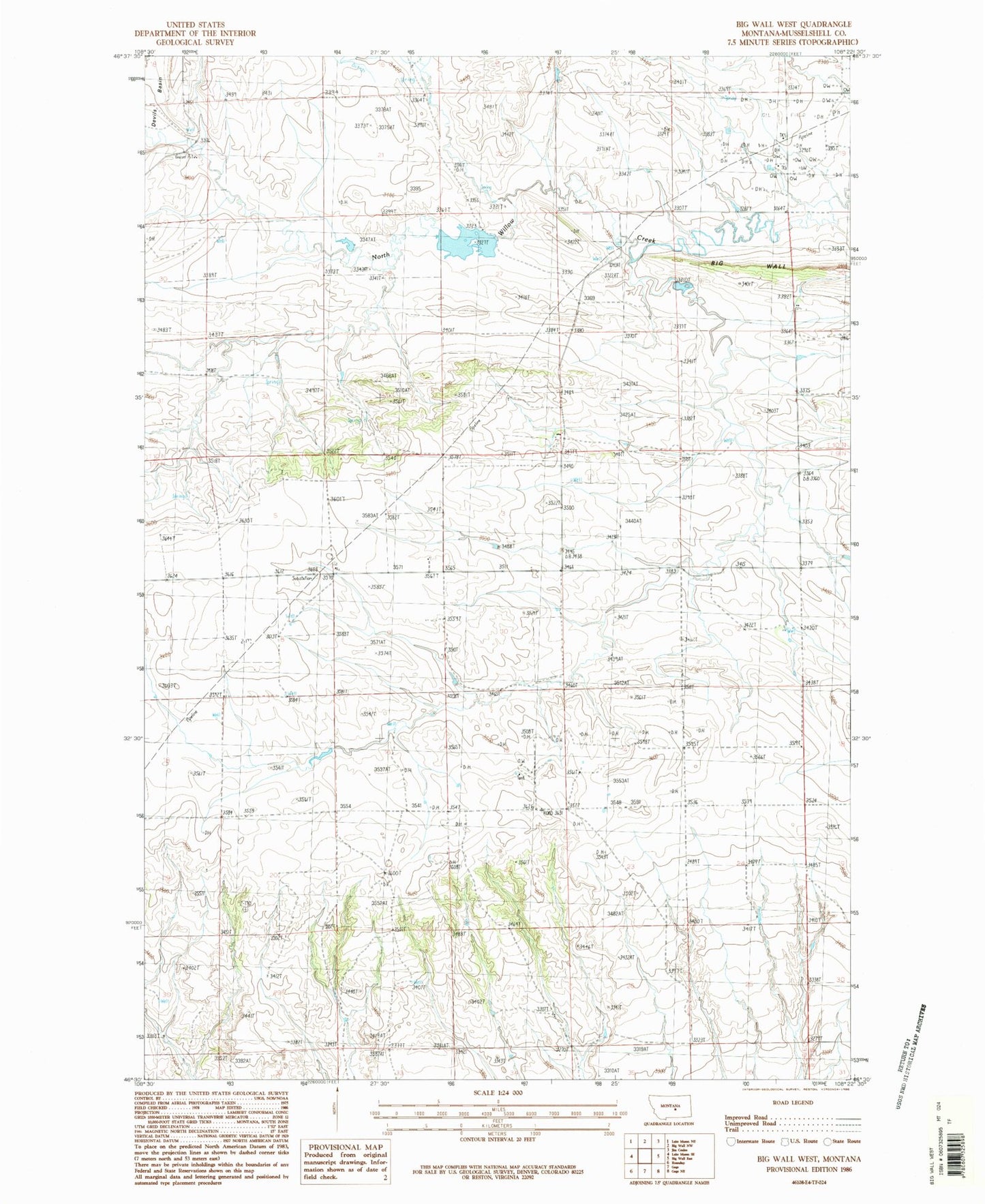
MyTopo
Classic USGS Big Wall West Montana 7.5'x7.5' Topo Map
Regular price
$16.95
Regular price
Sale price
$16.95
Unit price
per
Couldn't load pickup availability
Historical USGS topographic quad map of Big Wall West in the state of Montana. Map scale may vary for some years, but is generally around 1:24,000. Print size is approximately 24" x 27"
This quadrangle is in the following counties: Musselshell.
The map contains contour lines, roads, rivers, towns, and lakes. Printed on high-quality waterproof paper with UV fade-resistant inks, and shipped rolled.
Contains the following named places: 09N26E03AAAA01 Well, 09N26E04DDB_01 Well, 09N26E08ACAC01 Well, 09N26E08DCCD01 Well, 09N26E12ADDC01 Well, 09N26E16DDDD01 Well, 09N26E19DAA_01 Well, 09N26E24DCCA01 Well, 09N26E28ACDB01 Well, 09N27E30BD__01 Well, 10N27E30B___01 Well, Big Wall Oil Field, R P Griffith Number 1 Dam