MyTopo
Classic USGS Big Water Utah 7.5'x7.5' Topo Map
Regular price
$16.95
Regular price
Sale price
$16.95
Unit price
per
Couldn't load pickup availability
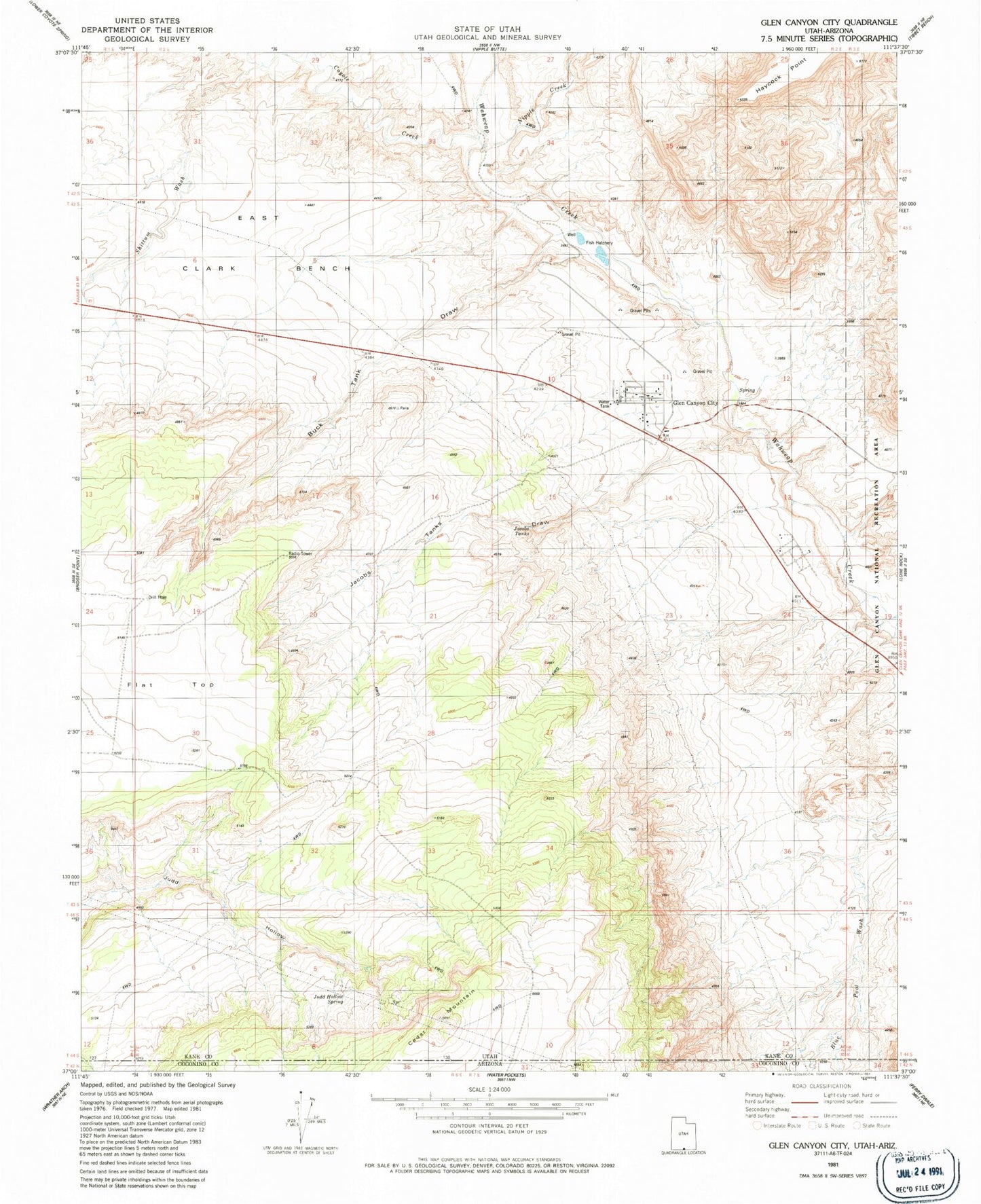
Historical USGS topographic quad map of Big Water in the state of Utah. Map scale may vary for some years, but is generally around 1:24,000. Print size is approximately 24" x 27"
This quadrangle is in the following counties: Coconino, Kane.
The map contains contour lines, roads, rivers, towns, and lakes. Printed on high-quality waterproof paper with UV fade-resistant inks, and shipped rolled.
Contains the following named places: Alkali Seep, Big Water, Big Water Fire Department, Big Water Post Office, Blue Pools Arch, Buck Tank Draw, Coyote Creek, Jacobs Tanks, Jacobs Tanks Draw, Judd Hollow Spring, Kane County Ambulance - Big Water, Larkspur Airstrip, Nipple Creek, Town of Big Water