MyTopo
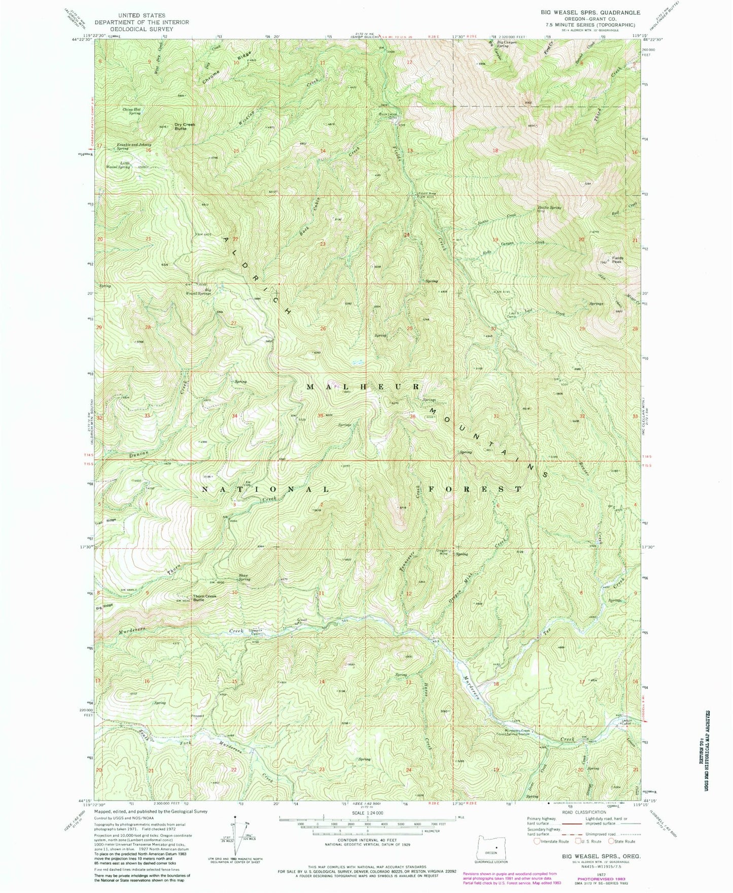
Classic USGS Big Weasel Springs Oregon 7.5'x7.5' Topo Map
Couldn't load pickup availability
Historical USGS topographic quad map of Big Weasel Springs in the state of Oregon. Typical map scale is 1:24,000, but may vary for certain years, if available. Print size: 24" x 27"
This quadrangle is in the following counties: Grant.
The map contains contour lines, roads, rivers, towns, and lakes. Printed on high-quality waterproof paper with UV fade-resistant inks, and shipped rolled.
Contains the following named places: Oregon Mine, Beaver Creek, Big Canyon Spring, Big Weasel Springs, Buck Cabin, Buck Cabin Creek, Buck Cabin Trail, China Hat Spring, Chrome Ridge, Dans Creek, Dry Creek Butte, Fields Peak, Frankie and Johnny Spring, Hattie Creek, Hattie Spring, Hells Canyon Creek, Horse Creek, Last Camp, Last Creek, Lemon Cabin, Lemon Creek, Little Weasel Spring, Murderers Creek Forest Service Station, Orange Creek, Oregon Mine Creek, Shaw Spring, Stewart Cabin, Tennessee Creek, Tex Creek, Thorn Creek Butte, Wickiup Creek, Oregon Mine Recreation Site, Separation Corrals Camp, Billy Fields Recreation Site, Cedar Grove Botanical Area, Oregon Mine Camp, Tex Creek Arch, Dry Creek Butte


