MyTopo
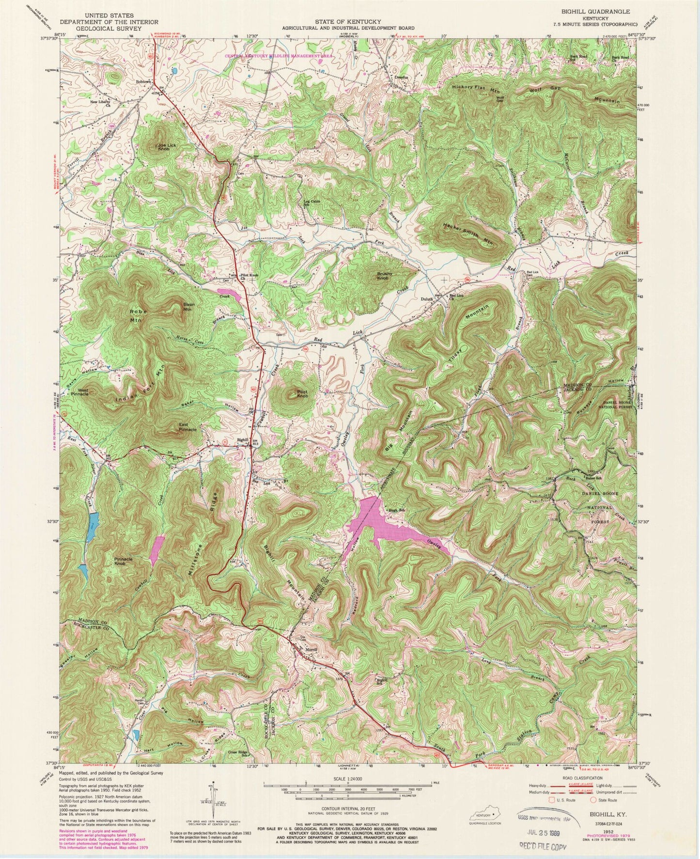
Classic USGS Bighill Kentucky 7.5'x7.5' Topo Map
Couldn't load pickup availability
Historical USGS topographic quad map of Bighill in the state of Kentucky. Typical map scale is 1:24,000, but may vary for certain years, if available. Print size: 24" x 27"
This quadrangle is in the following counties: Jackson, Madison, Rockcastle.
The map contains contour lines, roads, rivers, towns, and lakes. Printed on high-quality waterproof paper with UV fade-resistant inks, and shipped rolled.
Contains the following named places: Baker Hollow, Baker School, Bark Road Church, Bark Road School, Basin Mountain, Big Mountain, Bighill, Bighill Mountain, Bighill School, Blue Lick Creek, Bobtown, Brushy Knob, Buckeye Hollow, Cowbell Creek, Cox Cemetery, Cruse Ridge, Cruse Ridge School, Dreyfus, Duluth, East Pinnacle, Floyd Branch, Gravel Lick Branch, Hacker Smith Mountain, Hardin Cemetery, Hart Hollow, Hickory Flat Mountain, Horse Cove Branch, Hugh School, Indian Fort Mountain, Joe Lick Fork, Joe Lick Knob, Log Cabin School, Long Branch, McCarter Branch, Millstone Ridge, Morrill, New Liberty Baptist Church, Owsley Fork, Pig Hollow, Pilot Knob, Pilot Knob Baptist Church, Pinnacle Knob, Radford Hollow, Red Lick Branch, Red Lick Cemetery, Red Lick Baptist Church, Robe Mountain, Stillhouse Branch, Tilday Mountain, West Pinnacle, Wolf Gap, Wolf Gap Mountain, WKXO-FM (Berea), Berea Division, Hugh Church, Hugh Post Office (historical), Morrill Post Office (historical), Owsley Fork Reservoir, Shirley Post Office (historical), Croley Mountain, Hugh (historical), Baker (historical), Big Hill (historical), Berea City Lakes, Indian Fort Theatre, Big Hill School (historical), Malory Mineral Spring (historical), Sulphur Spring, Walnut Valley Post Office (historical), Horseshoe Gap, Duluth Post Office (historical), Coyle Post Office (historical), Red Lick Sulphur Spring, Bobtown School (historical), Maplewood Farm (historical), Berea College Forest, Dreyfus Post Office (historical), Red Lick Volunteer Fire Department, Burnt Bridge, Bighill Post Office


