
MyTopo
Classic USGS Bighorn Peak New Mexico 7.5'x7.5' Topo Map
Couldn't load pickup availability
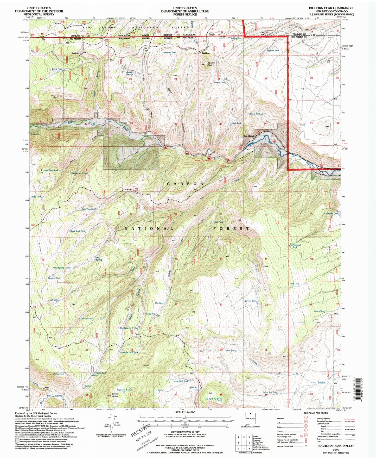
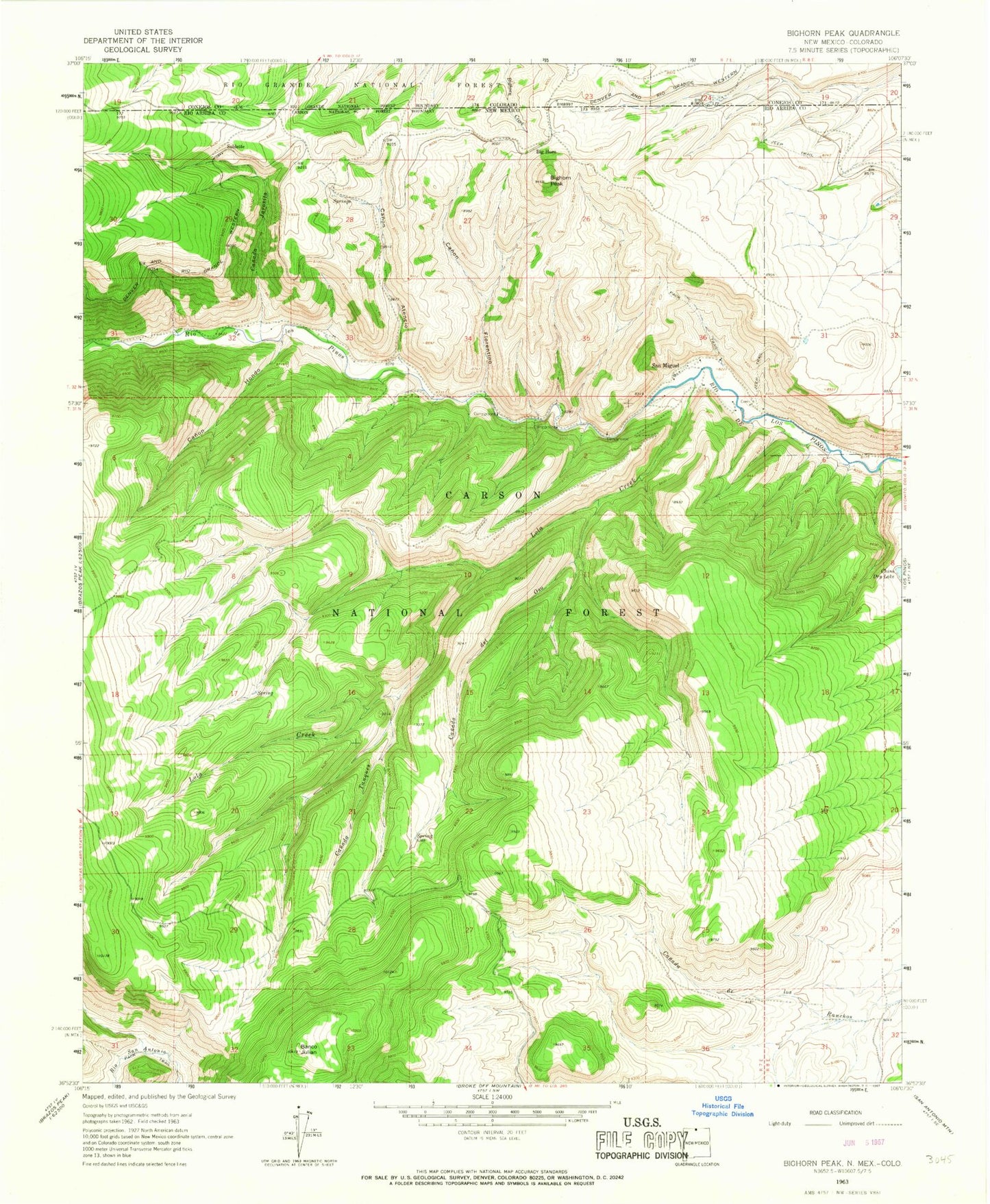
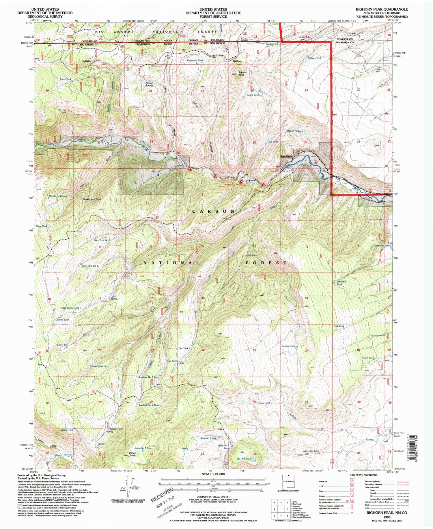
Historical USGS topographic quad map of Bighorn Peak in the states of New Mexico, Colorado. Typical map scale is 1:24,000, but may vary for certain years, if available. Print size: 24" x 27"
This quadrangle is in the following counties: Conejos, Rio Arriba.
The map contains contour lines, roads, rivers, towns, and lakes. Printed on high-quality waterproof paper with UV fade-resistant inks, and shipped rolled.
Contains the following named places: Valdez Tank, Big Horn, Bighorn Peak, Canada de Oso, Canada Jarosita, Canada Tanques, Canon Atencio, Canon Florentino, Canon Hondo, Chino Dry Lake, Lola Creek, San Miguel, Sublette, Florentino Tank, Valdez Tank, Bighorn Tank, Atencio Spring, Dale Tank, New Mexico Game and Fish, Rio De Los Pinos Campground, Miguel Tank, Garcia Tank, Louis Tank, Ojito Spring, Camino Tank, Lola Tank, Cub Tank, Hondo Number Two Tank, Rudy Tank, Pinabetal Tank, Park Tank, Aspen Tank, Oso Tank, Oso Spring, Romero Tank, Pit Tank Number One, Alive Number Two Tank, Roadside Number One Tank, Indian Joe Tank, Casas Tank, Alive Number One Tank, Duran Tank, Roadside Number Two Tank, Julian Number Two Tank, San Miguel Cemetery, Banco Julian, Lola Tank Number Two, Canon Largo, Ojito Spring Tank, Buck Tank Number 1, Buck Tank Number 2, Hondo Number One Tank, Conejos Peak Ranger District