MyTopo
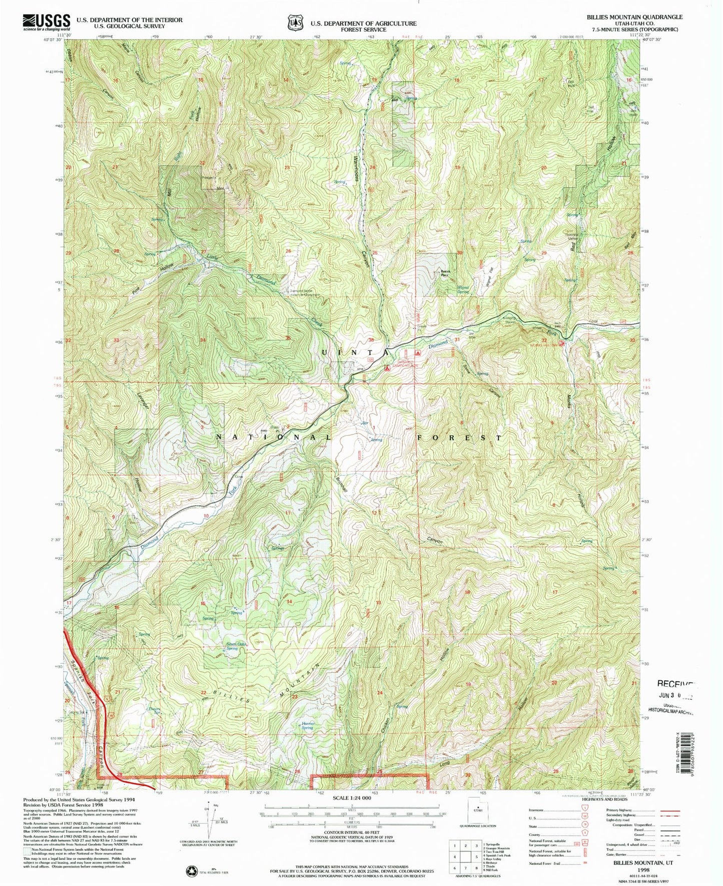
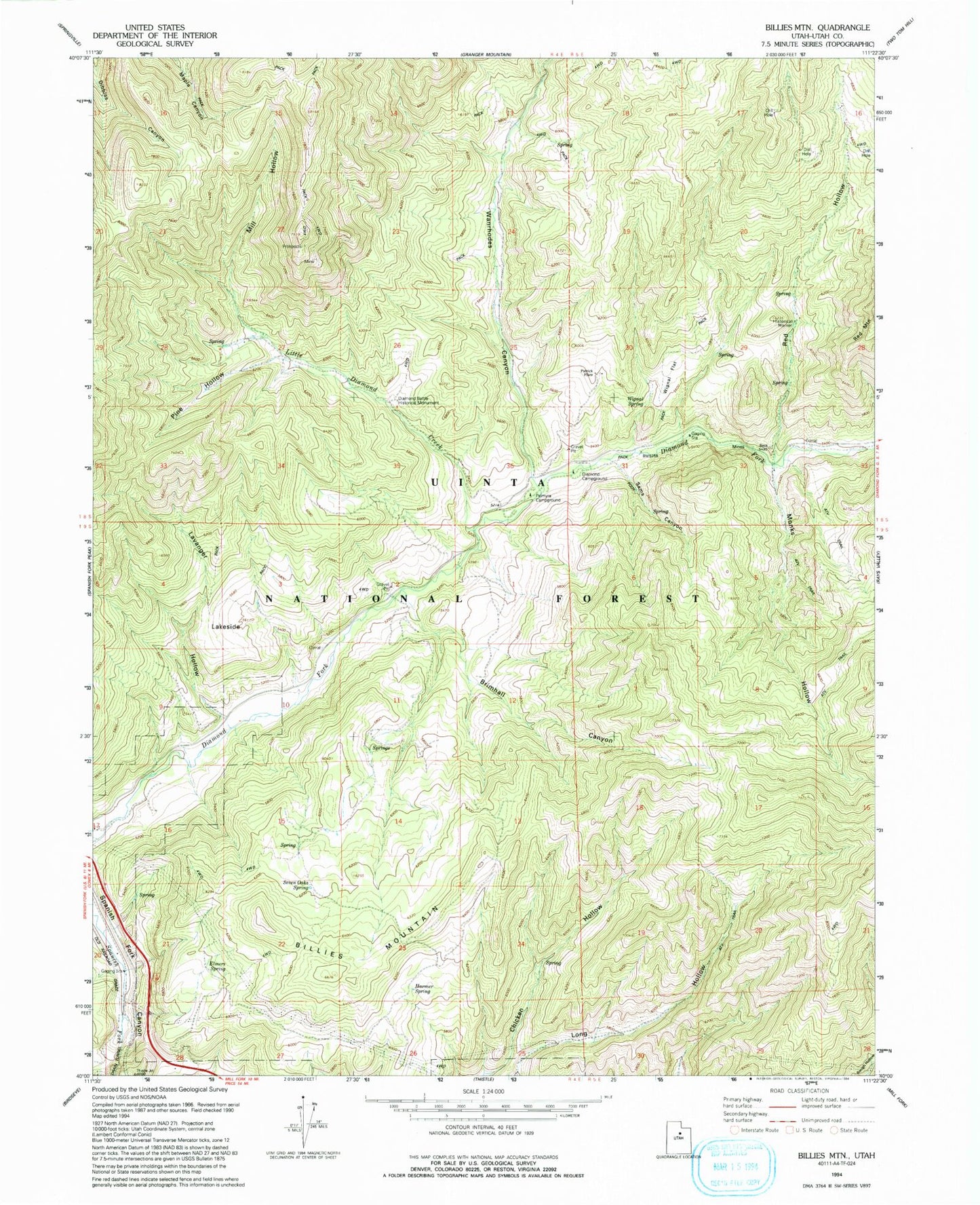
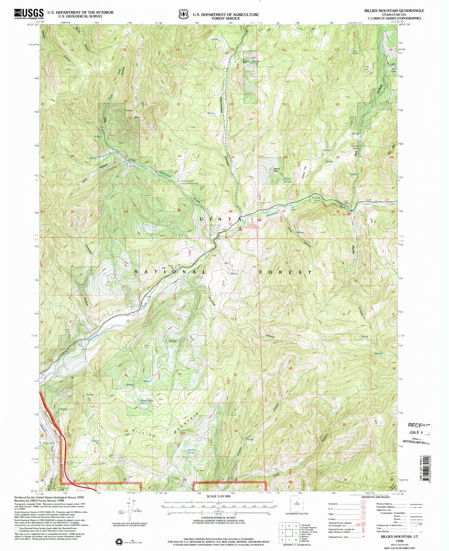
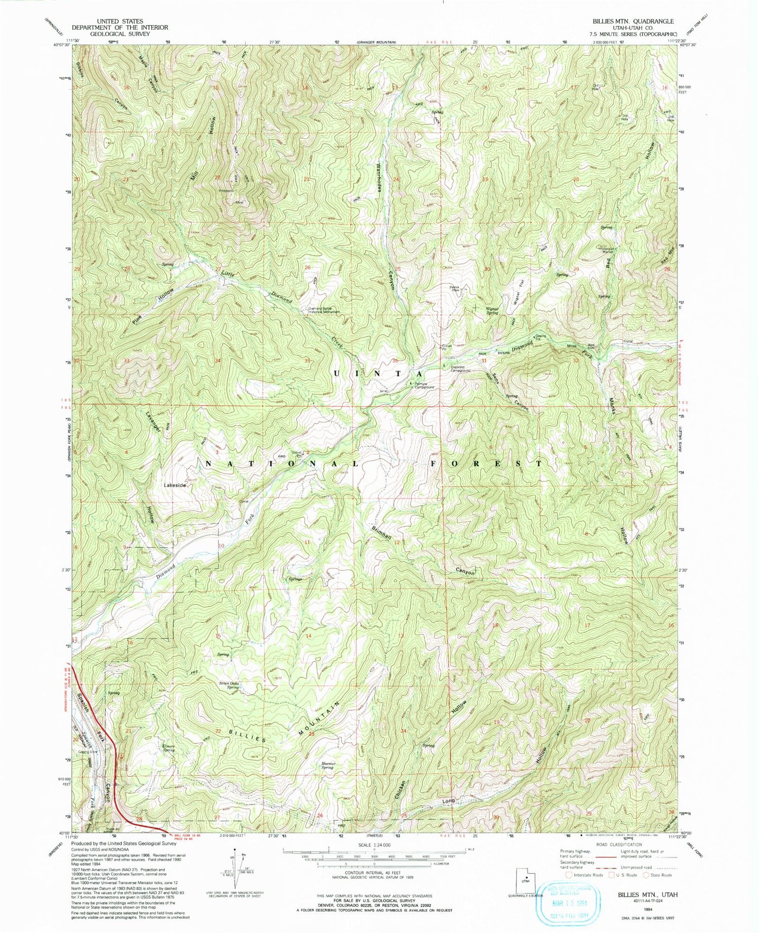
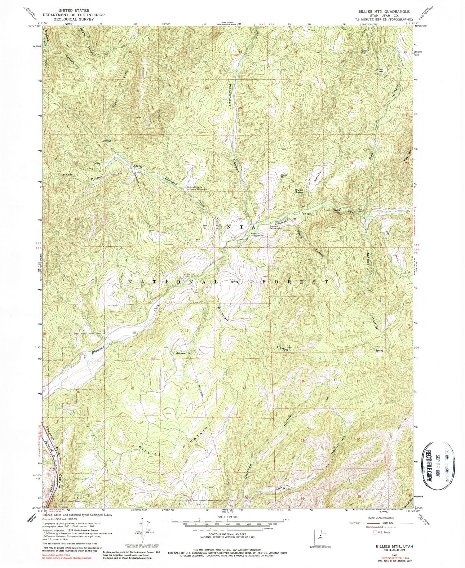
Classic USGS Billies Mountain Utah 7.5'x7.5' Topo Map
Couldn't load pickup availability
Historical USGS topographic quad map of Billies Mountain in the state of Utah. Map scale may vary for some years, but is generally around 1:24,000. Print size is approximately 24" x 27"
This quadrangle is in the following counties: Utah.
The map contains contour lines, roads, rivers, towns, and lakes. Printed on high-quality waterproof paper with UV fade-resistant inks, and shipped rolled.
Contains the following named places: Billies Mountain, Brimhall Canyon, Diamond Battle Historical Monument, Diamond Campground, Diamond Fork Arch, Diamond Fork Youth Forest, Elmers Spring, Harmer Spring, Little Diamond Creek, Mill Hollow, Monks Hollow, Palmyra Campground, Patrick Place, Red Hollow, Sams Canyon, Seven Oaks Spring, Wanrhodes Canyon, Wignal Flat, Wignal Spring