MyTopo
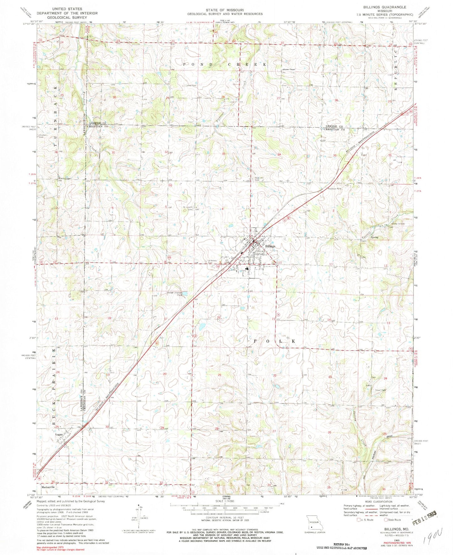
Classic USGS Billings Missouri 7.5'x7.5' Topo Map
Couldn't load pickup availability
Historical USGS topographic quad map of Billings in the state of Missouri. Map scale may vary for some years, but is generally around 1:24,000. Print size is approximately 24" x 27"
This quadrangle is in the following counties: Christian, Greene, Lawrence.
The map contains contour lines, roads, rivers, towns, and lakes. Printed on high-quality waterproof paper with UV fade-resistant inks, and shipped rolled.
Contains the following named places: Anderson School, Billings, Billings Fire Protection District Station 1, Billings Police Department, Billings Post Office, Billings School, Blades Chapel, Blakes School, Brashers Cemetery, Camp Lenape, Center School, City of Billings, Curtis Chapel, French Valley School, Hagewood Lake, Hagewood Lake Dam, Herndon Orchard Airport, Lane School, Laney Cemetery, Logan, Oak Hill School, Rose Hill Cemetery, Saint Joe School, Saint Joseph's Cemetery, Saint Peters Evangelical Cemetery, Smart Cemetery, Smart School, Sodom School, Tiede School, Township of East Polk, Township of Polk, Township of West Polk, ZIP Code: 65610