MyTopo
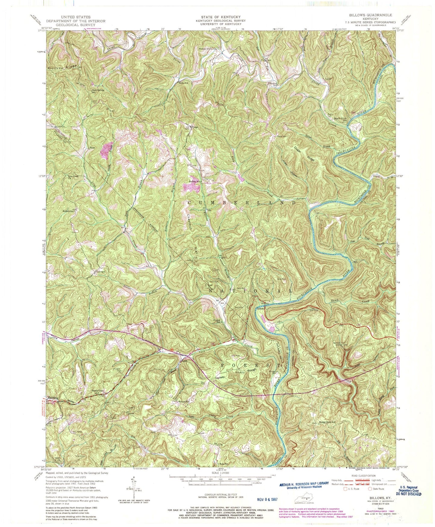
Classic USGS Billows Kentucky 7.5'x7.5' Topo Map
Couldn't load pickup availability
Historical USGS topographic quad map of Billows in the state of Kentucky. Map scale may vary for some years, but is generally around 1:24,000. Print size is approximately 24" x 27"
This quadrangle is in the following counties: Laurel, Pulaski, Rockcastle.
The map contains contour lines, roads, rivers, towns, and lakes. Printed on high-quality waterproof paper with UV fade-resistant inks, and shipped rolled.
Contains the following named places: Acorn Church, Angel Hollow, Barnes School, Beach Grove School, Big Trace Branch, Billows, Billows Post Office, Bloss, Bridge Rock School, Buffalo Branch, Buffalo Church, Buffalo School, Bullock School, Bustle Cemetery, Chesnut Knolls Airport, Chestnut Flat, Conrard, Cooper School, Cromers Mill, Dugar Hollow, Dugar Ridge, Dyer Branch, Eagle Creek, East Fork Skegg Creek, Elkhorn Branch, Evans Ferry, Fish Trap Branch, Gum Springs School, Halsey Rough, Hawk Creek, Holmes Branch, Indian Trail Lookout Tower, Lacy Fork, Laurel Branch, Line Creek, Line Creek Church, Little Clifty Creek, Little Trace Branch, Lovins Branch, Luner, Mize Branch, Nicely Branch, Phelps Cemetery, Pine Creek, Poison Honey Fork, Pongo, Pongo Volunteer Fire Department, Price Valley School, Rulo School, Sandy Gap, Sinking Branch, Sinks School, Skegg Creek, Squib, Sugar Camp Branch, Walnut Grove Church, Whitaker Cemetery, Whitaker School


