MyTopo
Classic USGS Billy Rice Canyon New Mexico 7.5'x7.5' Topo Map
Regular price
$16.95
Regular price
Sale price
$16.95
Unit price
per
Couldn't load pickup availability
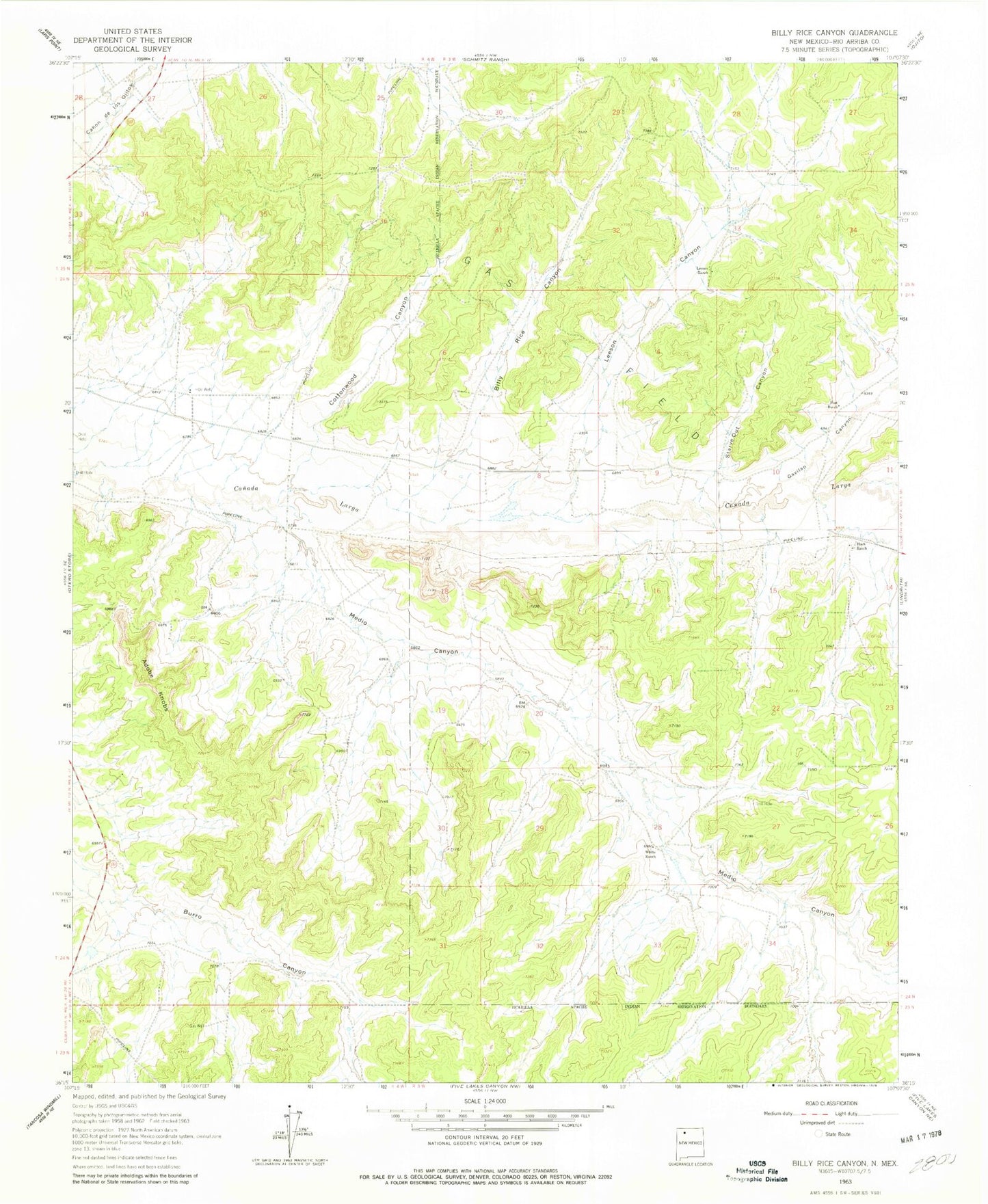
Historical USGS topographic quad map of Billy Rice Canyon in the state of New Mexico. Map scale may vary for some years, but is generally around 1:24,000. Print size is approximately 24" x 27"
This quadrangle is in the following counties: Rio Arriba.
The map contains contour lines, roads, rivers, towns, and lakes. Printed on high-quality waterproof paper with UV fade-resistant inks, and shipped rolled.
Contains the following named places: Adobe Knobs, Billy Rice Canyon, Cottonwood Canyon, G W Leeson Spring, Gavilan Canyon, Leeson Canyon, Leeson Ranch, Mary Becenti Water Well, Medio Canyon, Oso Canyon, Post Ranch, Starve Out Canyon, White Ranch