MyTopo
Classic USGS Billys Island Georgia 7.5'x7.5' Topo Map
Couldn't load pickup availability
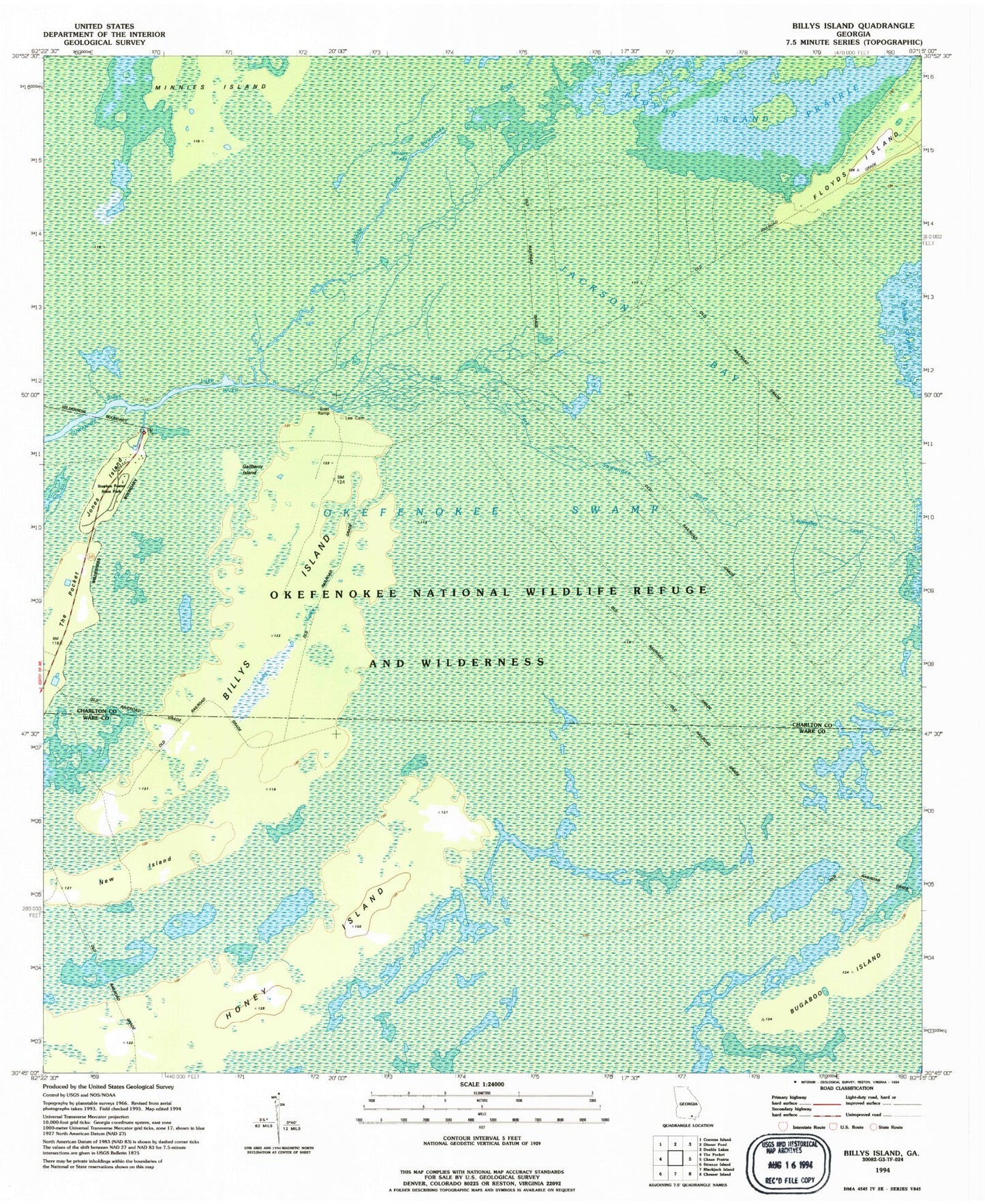
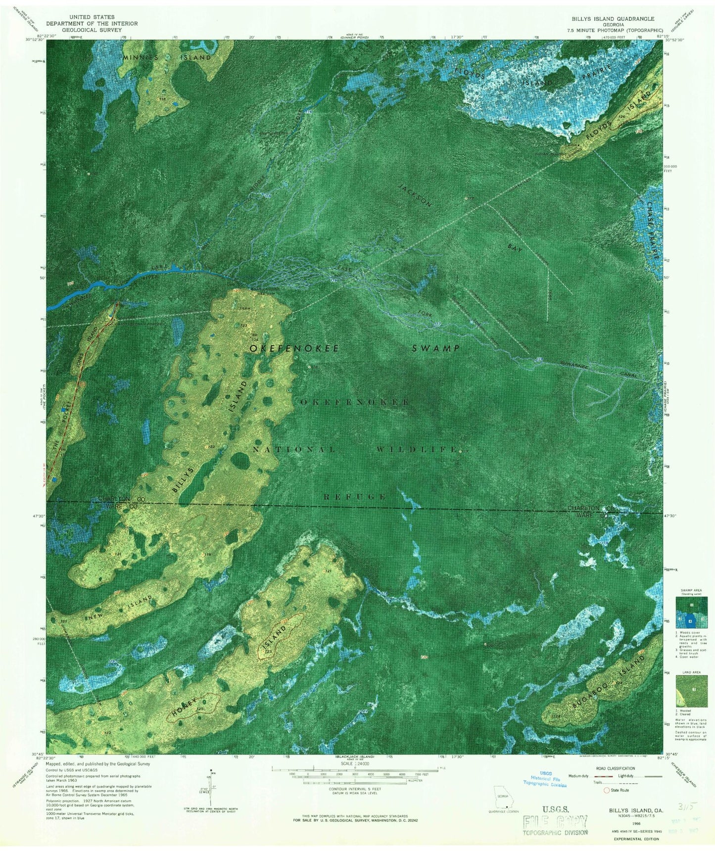
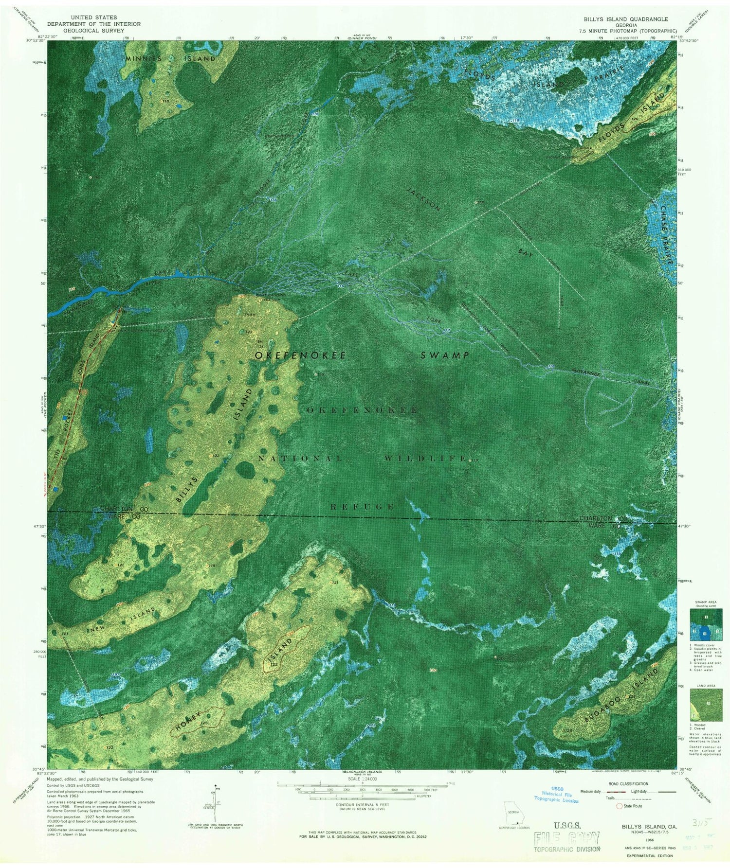
Historical USGS topographic quad map of Billys Island in the state of Georgia. Map scale may vary for some years, but is generally around 1:24,000. Print size is approximately 24" x 27"
This quadrangle is in the following counties: Charlton, Ware.
The map contains contour lines, roads, rivers, towns, and lakes. Printed on high-quality waterproof paper with UV fade-resistant inks, and shipped rolled.
Contains the following named places: Billys Island, Billys Lake, Bugaboo Island, East Fork Suwannee River, Floyds Island, Gallberry Island, Honey Island, Jackson Bay, Jones Island, Lee Cemetery, Long Lake, Middle Fork Suwannee River, Minnies Island, Minnies Lake, New Island, Okefenokee National Wildlife Refuge, Okefenokee Wilderness, Stephen Foster State Park