MyTopo
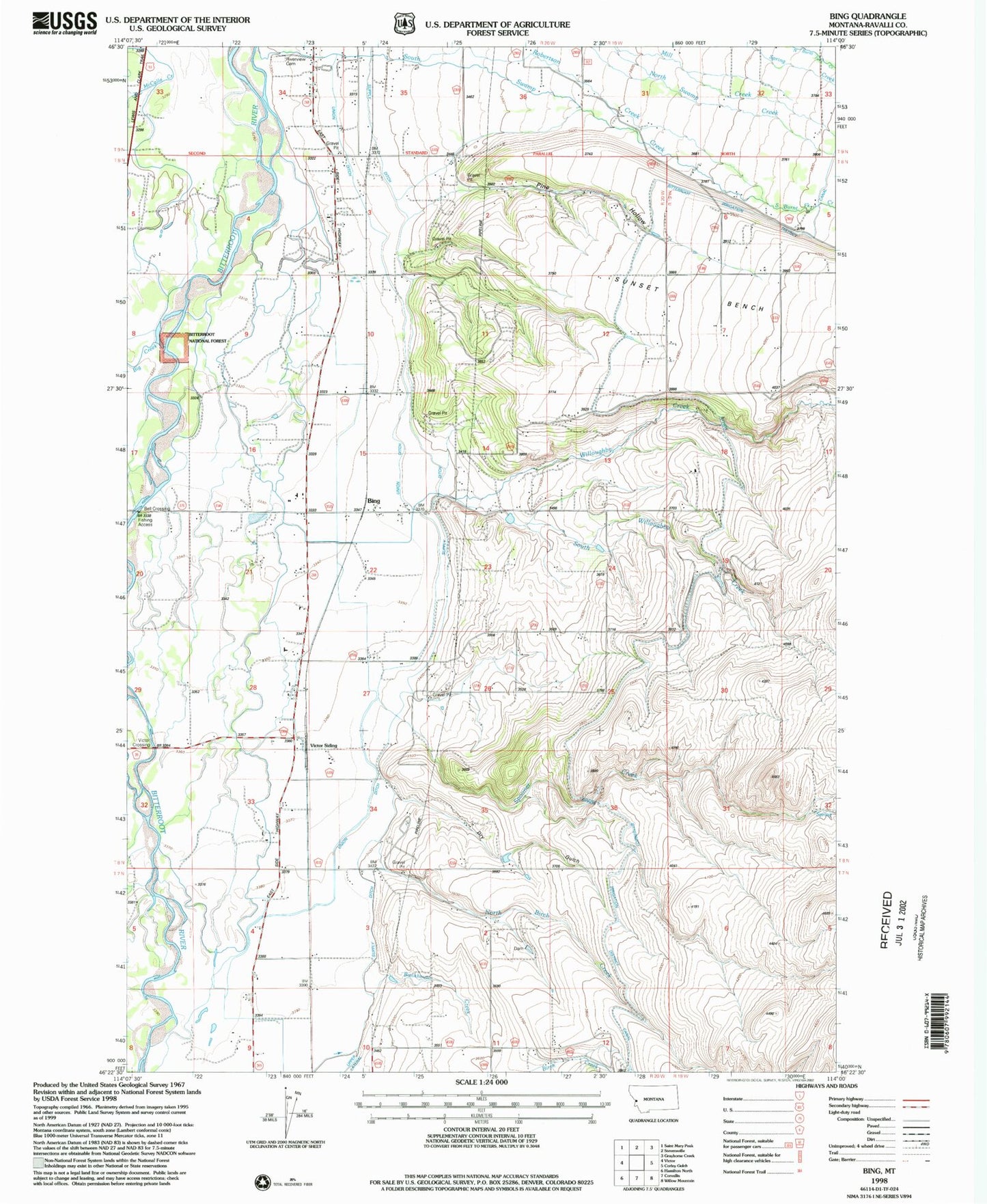
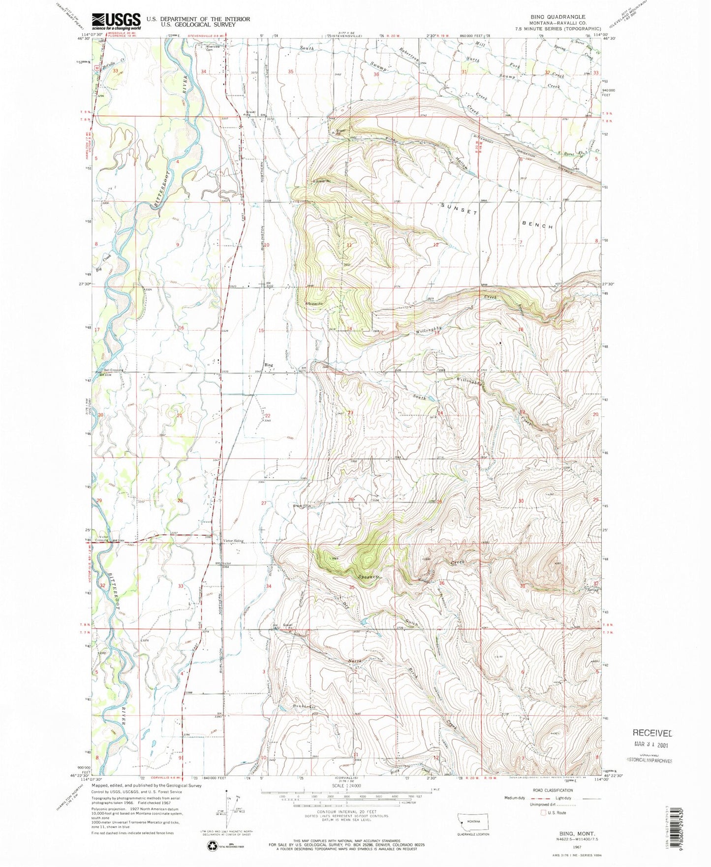
Classic USGS Bing Montana 7.5'x7.5' Topo Map
Couldn't load pickup availability
Historical USGS topographic quad map of Bing in the state of Montana. Map scale may vary for some years, but is generally around 1:24,000. Print size is approximately 24" x 27"
This quadrangle is in the following counties: Ravalli.
The map contains contour lines, roads, rivers, towns, and lakes. Printed on high-quality waterproof paper with UV fade-resistant inks, and shipped rolled.
Contains the following named places: 07N20W02BDDA01 Well, 07N20W03BA__01 Well, 07N20W04AA__01 Well, 07N20W09AB__01 Well, 08N19W06CC__01 Well, 08N19W07CBBD01 Well, 08N20W01DAAD01 Well, 08N20W01DABD01 Well, 08N20W02BB__01 Well, 08N20W03BA__01 Well, 08N20W03BD__02 Well, 08N20W05DC__01 Well, 08N20W10BB__01 Well, 08N20W14CB__01 Well, 08N20W15BA__01 Well, 08N20W16BADC01 Well, 08N20W21BA__01 Well, 08N20W23CDDD01 Well, 08N20W28AD__01 Well, 08N20W28BACD01 Well, 08N20W28BDBA01 Well, 08N20W28CC__01 Well, 08N20W28DC__01 Well, 09N19W31AA__02 Well, 09N20W34AB__01 Well, 09N20W34AB__04 Well, 09N20W34AC__01 Well, Bell Crossing, Big Creek, Bing, Brier Patch Airport, Bunkhouse Creek, Cinnabar Court, Dry Gulch, Etna, Etna Post Office, Etna School, Mountain Shadows Estates, North Birch Creek, Our Savior Lutheran Church, Pine Hollow, Riverside Cemetery, Robertson Creek, Rosemont Airport, Sandersville, Silverthorn, South Burnt Fork Creek, South Fork Willoughby Creek, South Willoughby Creek, Spooner Creek, Stevensville Rural Fire District - Etna Station, Stevensville Seventh Day Adventist Church, Sunset Bench, Treece Gulch, Tucker Crossing East Fishing Access Site, Union Ditch, Victor Crossing, Victor Siding, Willoughby Creek, Wood Lot Fishing Access Site


