MyTopo
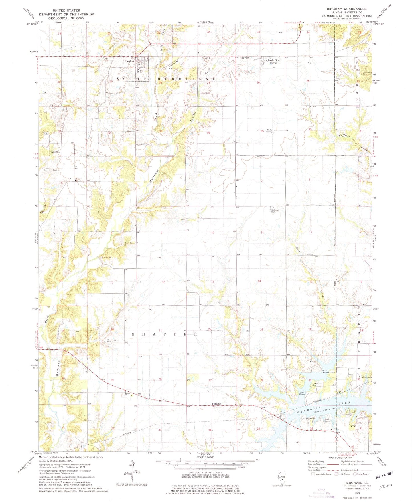
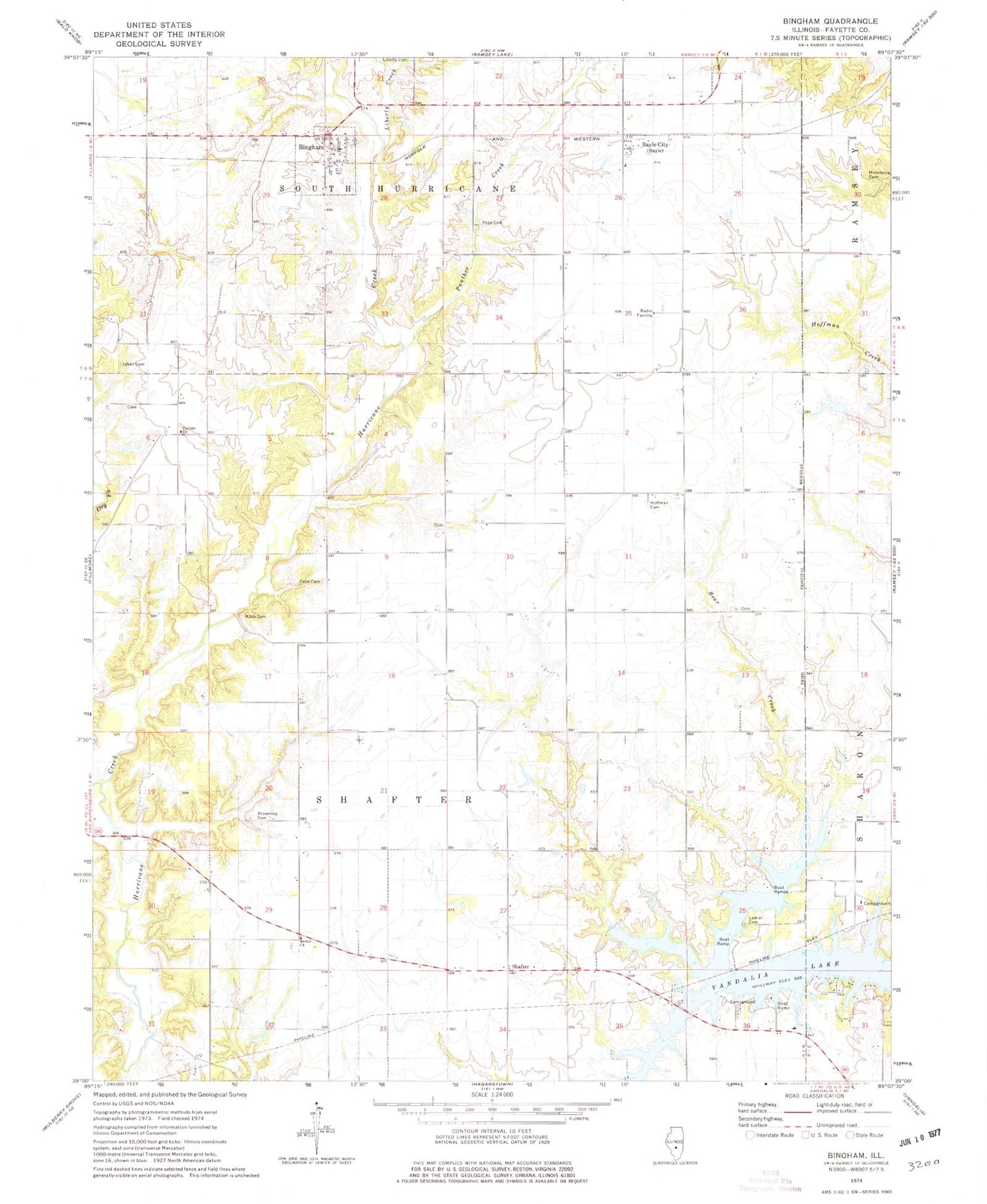
Classic USGS Bingham Illinois 7.5'x7.5' Topo Map
Couldn't load pickup availability
Historical USGS topographic quad map of Bingham in the state of Illinois. Map scale may vary for some years, but is generally around 1:24,000. Print size is approximately 24" x 27"
This quadrangle is in the following counties: Fayette.
The map contains contour lines, roads, rivers, towns, and lakes. Printed on high-quality waterproof paper with UV fade-resistant inks, and shipped rolled.
Contains the following named places: Bayle City, Bear Creek School, Bethel Church, Bingham, Brackenbush Cemetery, Browning Cemetery, Browning School, Brush College School, Burnett School, Canaan Church, Cemetery, Cloverleaf School, Cook Cemetery, Crisson School, Dry Fork, Holy Cross Lutheran Cemetery, Isbell Cemetery, Lawler Cemetery, Liberty Creek, Monclovia Cemetery, Panther Creek, Peak School, Pope Cemetery, Rush Cemetery, Rush School, Shafter, Spunk School, Township of Shafter, Township of South Hurricane, Vandalia Lake, Vandalia Municipal Reservoir, Village of Bingham, Washington School