MyTopo
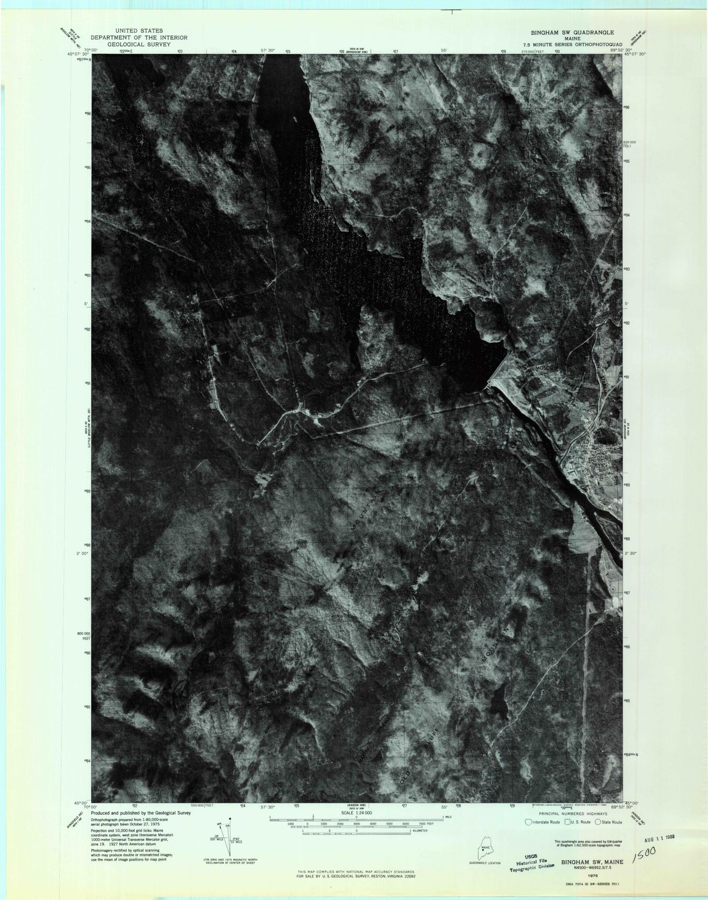
Classic USGS Bingham Maine 7.5'x7.5' Topo Map
Couldn't load pickup availability
Historical USGS topographic quad map of Bingham in the state of Maine. Typical map scale is 1:24,000, but may vary for certain years, if available. Print size: 24" x 27"
This quadrangle is in the following counties: Somerset.
The map contains contour lines, roads, rivers, towns, and lakes. Printed on high-quality waterproof paper with UV fade-resistant inks, and shipped rolled.
Contains the following named places: Austin Stream, Baker Mountain, Big Island, Bingham, Clear Pond, Fletcher Mountain, Houston Brook, Jackson Pond, Lily Pond, Little Houston Brook, Longfellow School, Mink Brook, Moscow, Old Bluff Mountain, Pierce Hill, Pleasant Ridge, Rowe Pond, Temple Pond, Union Cemetery, Wyman Lake, Houston Brook Falls, Wyman Dam, Unorganized Territory of Central Somerset, Plantation of Pleasant Ridge, Wyman Dam Post Office, Mill Stream Dam, Bingham Congregational Church, Bingham Post Office, Bingham Union Library, Moscow Elementary School, Quimby Middle School, Concord Township, Bingham Fire Department, Upper Kennebec Valley Ambulance Service, Bingham Village Cemetery, Pierce Hill Cemetery