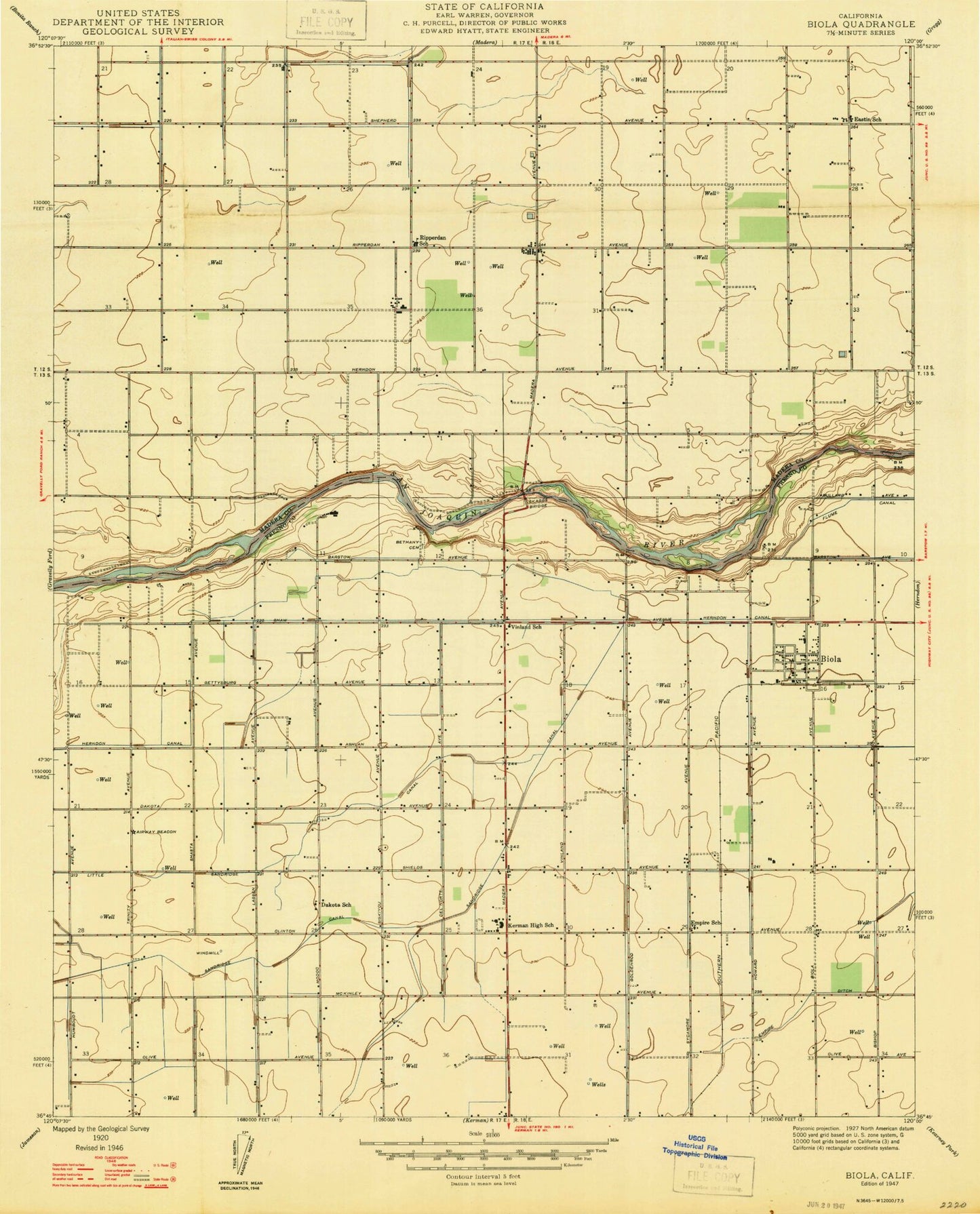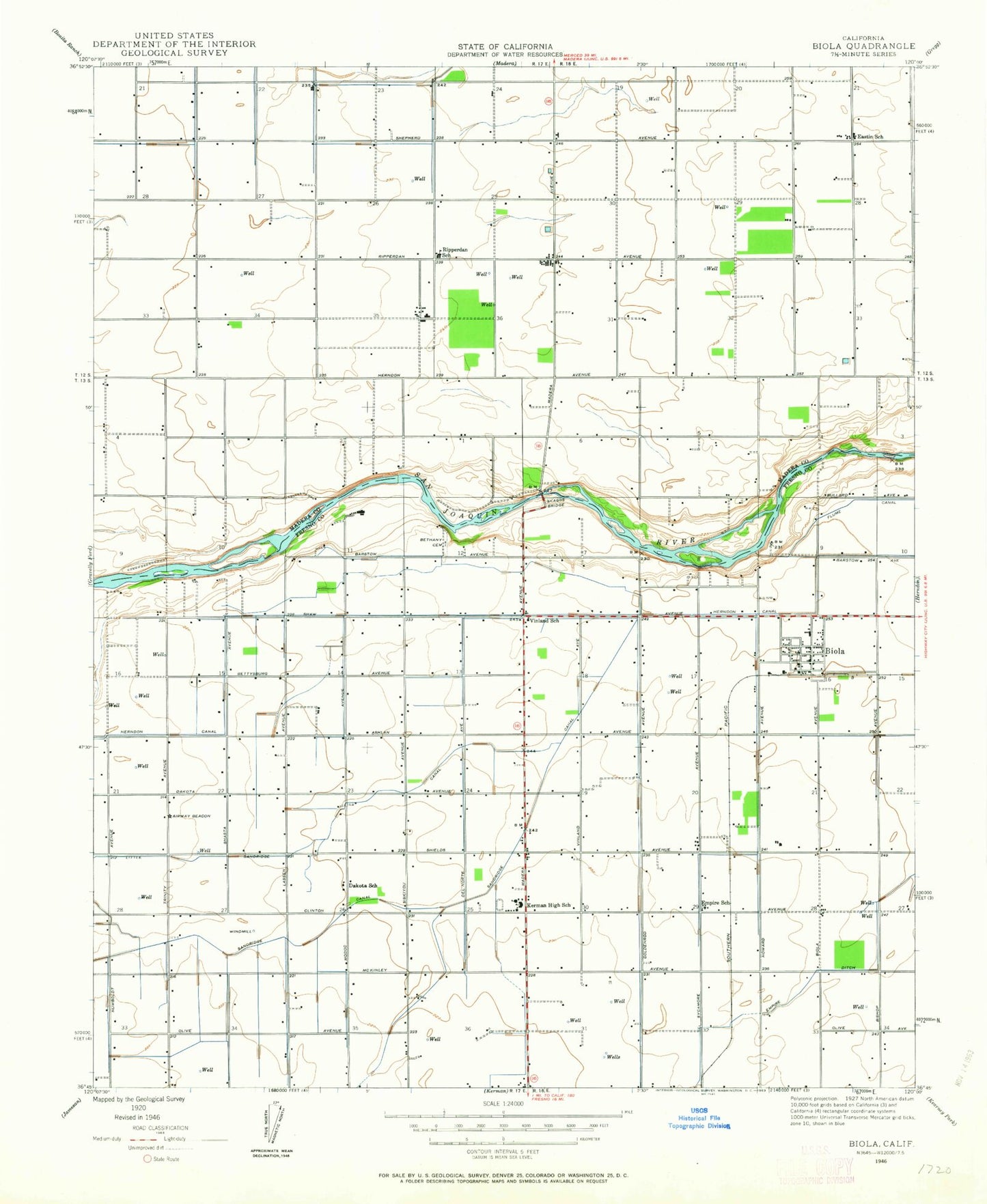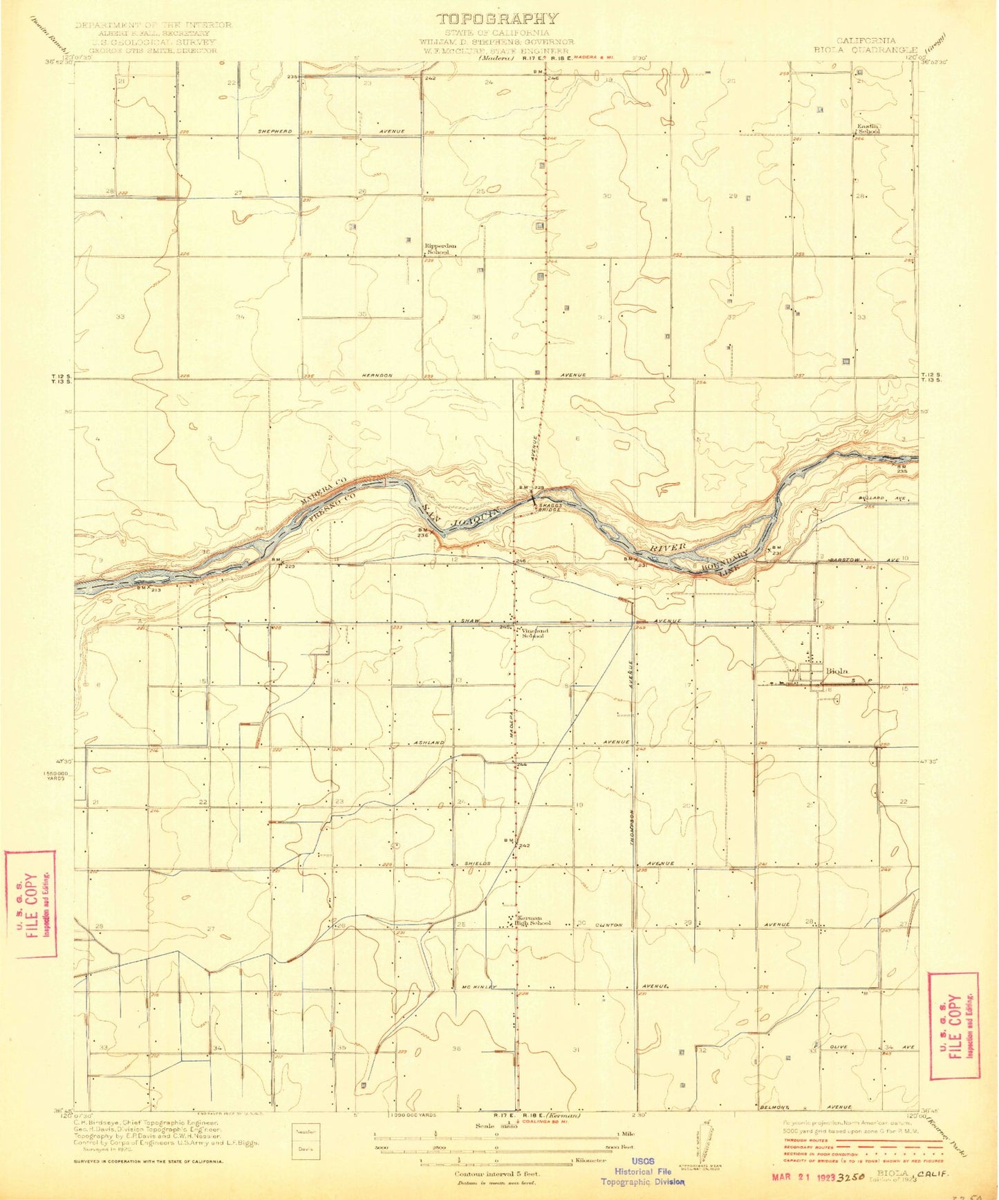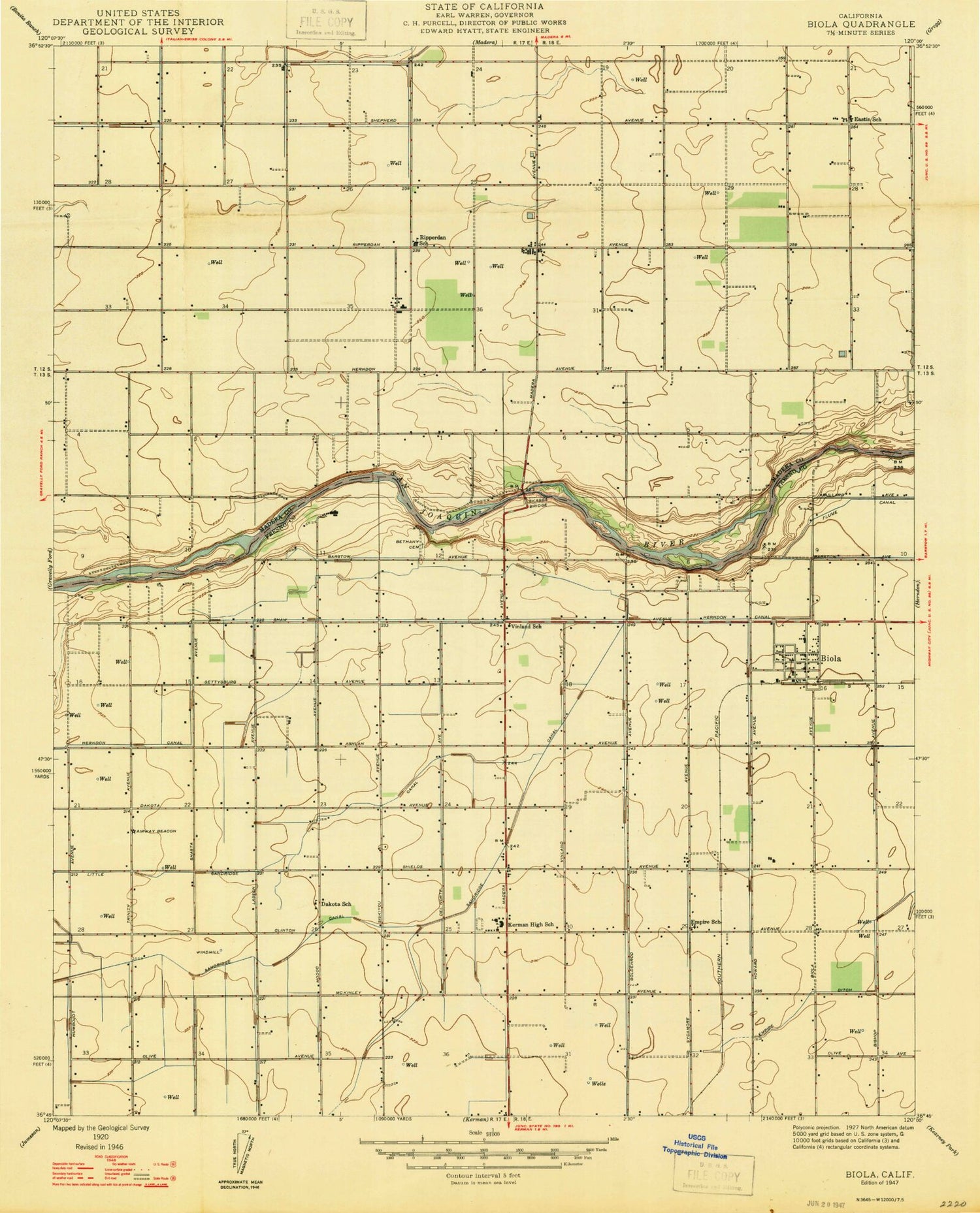
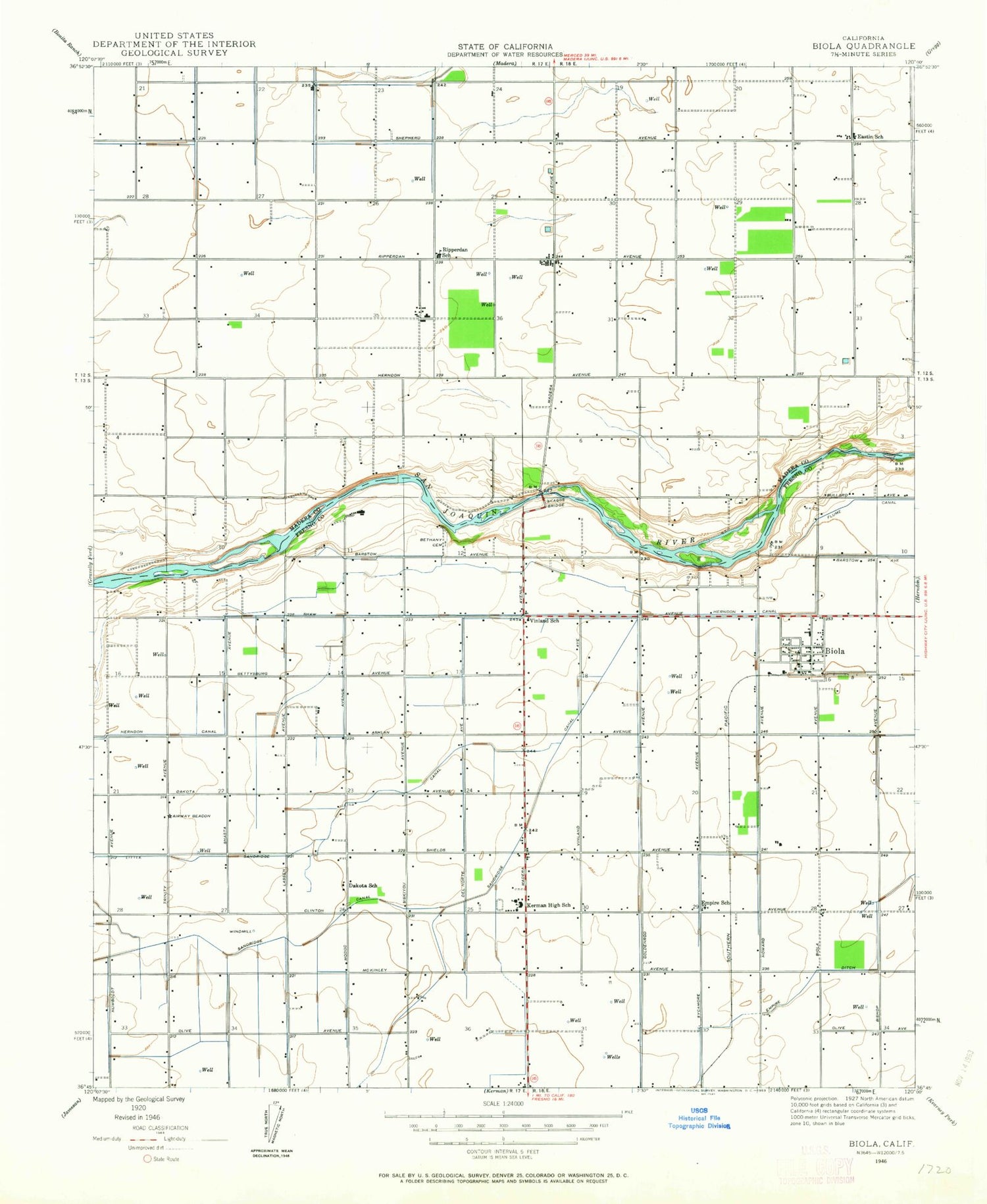
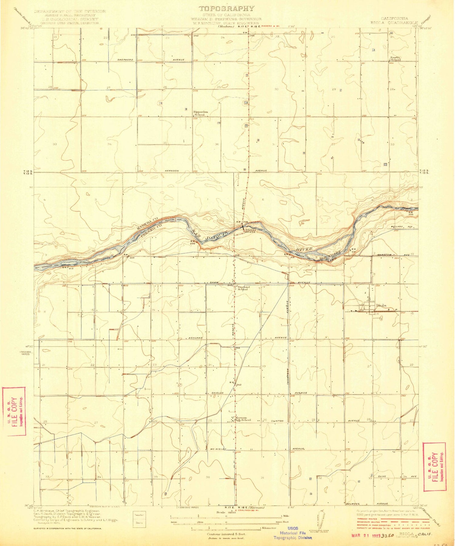
MyTopo
Classic USGS Biola California 7.5'x7.5' Topo Map
Couldn't load pickup availability
Historical USGS topographic quad map of Biola in the state of California. Map scale may vary for some years, but is generally around 1:24,000. Print size is approximately 24" x 27"
This quadrangle is in the following counties: Fresno, Madera.
The map contains contour lines, roads, rivers, towns, and lakes. Printed on high-quality waterproof paper with UV fade-resistant inks, and shipped rolled.
Contains the following named places: Bethany Evangelical Lutheran Church Cemetery, Biola, Biola - Pershing Elementary School, Biola Census Designated Place, Biola Community Services Building, Biola Post Office, Eastin-Arcola Elementary School, Empire Ditch, Empire School, Kerman Union High School, Little Sandridge Canal, North Central Fire Protection District Station 23, Ripperdan, Ripperdan Community Day School, Sandridge Canal, Skaggs Bridge, Sun Empire School, Vineland School, ZIP Code: 93606