MyTopo
Classic USGS Birch Tree Missouri 7.5'x7.5' Topo Map
Couldn't load pickup availability
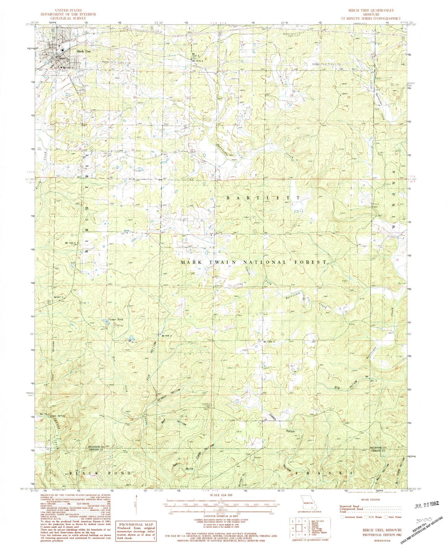
Historical USGS topographic quad map of Birch Tree in the state of Missouri. Map scale may vary for some years, but is generally around 1:24,000. Print size is approximately 24" x 27"
This quadrangle is in the following counties: Oregon, Shannon.
The map contains contour lines, roads, rivers, towns, and lakes. Printed on high-quality waterproof paper with UV fade-resistant inks, and shipped rolled.
Contains the following named places: Banner School, Barnes Cemetery, Big Hollow, Birch Tree, Birch Tree Volunteer Fire Department, Cave Spring, City of Birch Tree, Elbow Pond, Fair Grove School, Fisher Pond, Fox Hollow, Gateway Recreation Area, Grassy Hollow, High Lookout, Little Hurricane Creek, Oak Forest Cemetery, Oak Grove School, Old Kehres Pond, Pleasant Hill School, South Fork Hurricane Creek, Township of Bartlett, Township of Birch Tree, Two Mule Camp Hollow, Warm Corners Cemetery, Wet Hollow