MyTopo
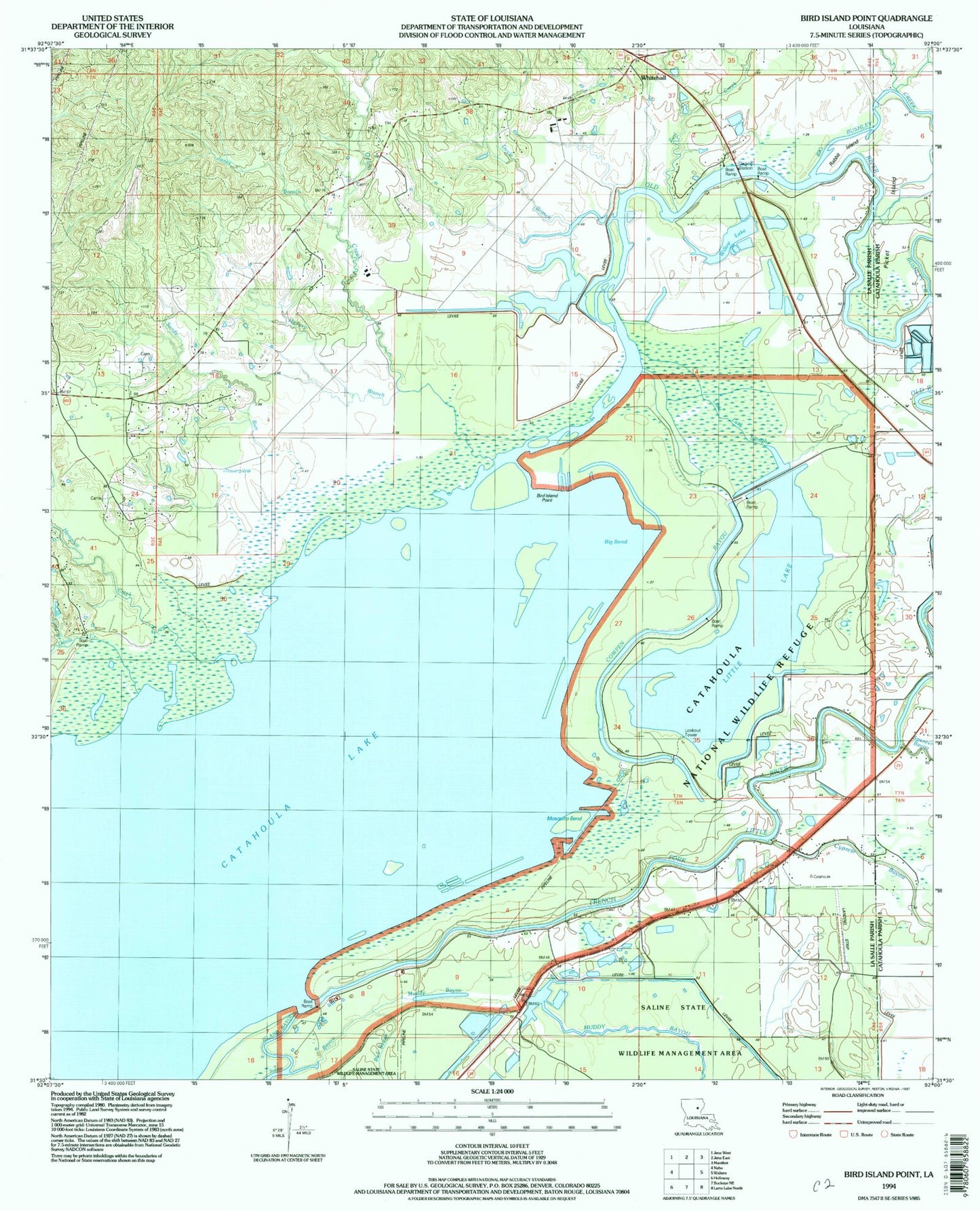
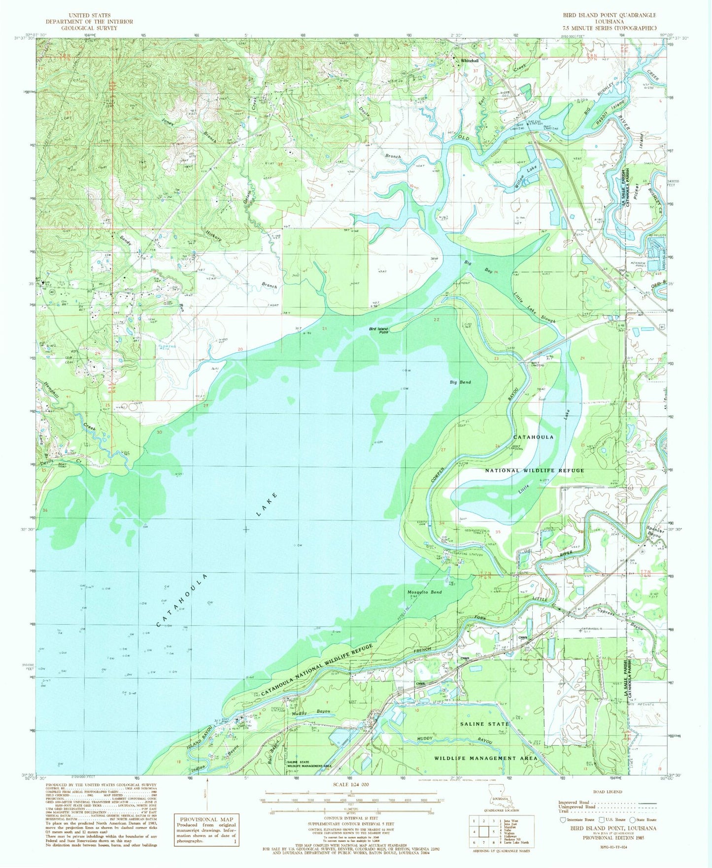
Classic USGS Bird Island Point Louisiana 7.5'x7.5' Topo Map
Couldn't load pickup availability
Historical USGS topographic quad map of Bird Island Point in the state of Louisiana. Typical map scale is 1:24,000, but may vary for certain years, if available. Print size: 24" x 27"
This quadrangle is in the following counties: Catahoula, LaSalle.
The map contains contour lines, roads, rivers, towns, and lakes. Printed on high-quality waterproof paper with UV fade-resistant inks, and shipped rolled.
Contains the following named places: Big Bay, Big Bend, Big Bushley Creek, Bird Island Point, Camp Bayou, Catahoula Lake Oil Field, Chevallier Cemetery, Cowpen Bayou, East Nebo Oil Field, Hickory Branch, Island Bayou, Jones Branch, Little Bushley Creek, Little Lake Slough, Long Branch, McCure Cemetery, Miller Cemetery, Mosquito Bend, Picket Island, Pritchard Church, Rabbit Island, Sandy Run, Ward Nine, Browns Branch, Buck Holly Branch, Crossroads School (historical), Dawes Branch School (historical), French Fork Oil Field, Mosquito Bend Oil Field, Prosperity School (historical), Rhineharts Ferry (historical), Sharp Town, Catahoula Lake, Crossroads Baptist Church, Devils Creek, Gelvin Creek, Hemphill Creek, Little Lake, Prosperity Baptist Church, Shady Grove Church, Tidwell Cemetery, Whitehall, Willow Lake, Doyle Branch, Earl Creek, Parish Governing Authority District 9, Spencer Cemetery