MyTopo
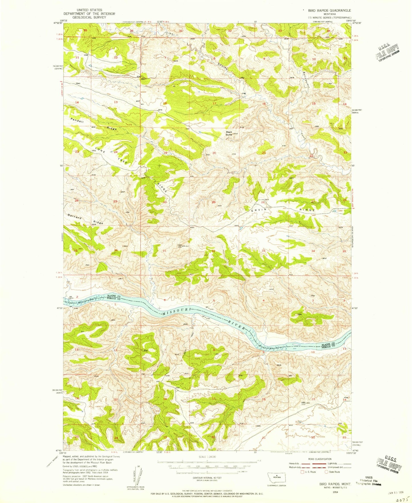
Classic USGS Bird Rapids Montana 7.5'x7.5' Topo Map
Regular price
$16.95
Regular price
Sale price
$16.95
Unit price
per
Couldn't load pickup availability
Historical USGS topographic quad map of Bird Rapids in the state of Montana. Map scale may vary for some years, but is generally around 1:24,000. Print size is approximately 24" x 27"
This quadrangle is in the following counties: Blaine, Fergus.
The map contains contour lines, roads, rivers, towns, and lakes. Printed on high-quality waterproof paper with UV fade-resistant inks, and shipped rolled.
Contains the following named places: Bird Rapids, Black Butte, Black Butte North Airport, Castle Bluffs Rapids, Lion Coulee, Lone Tree Ridge, Magpie Rapids, North Fork Lion Coulee, Pendell Ridge, Tarzan Dam