MyTopo
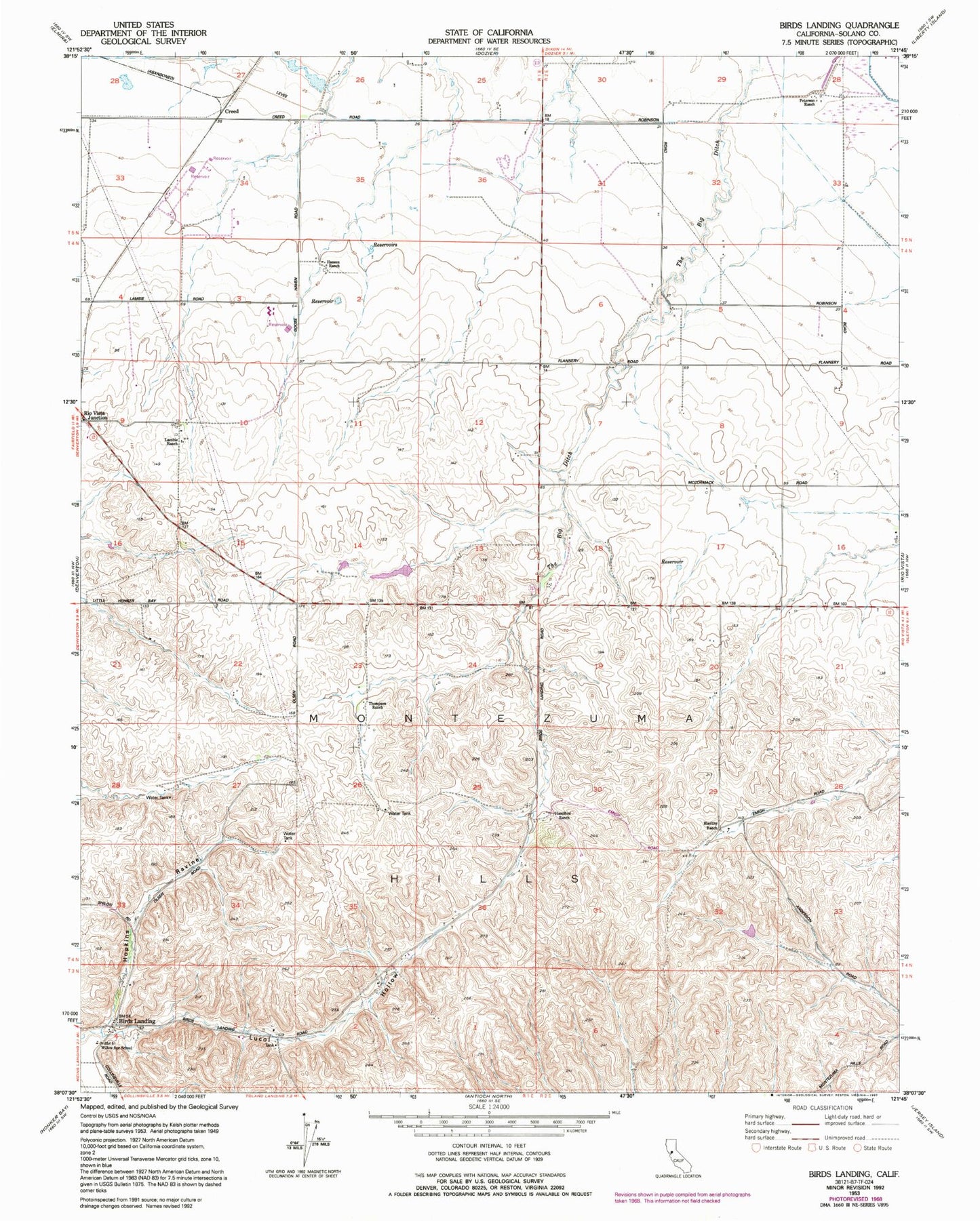
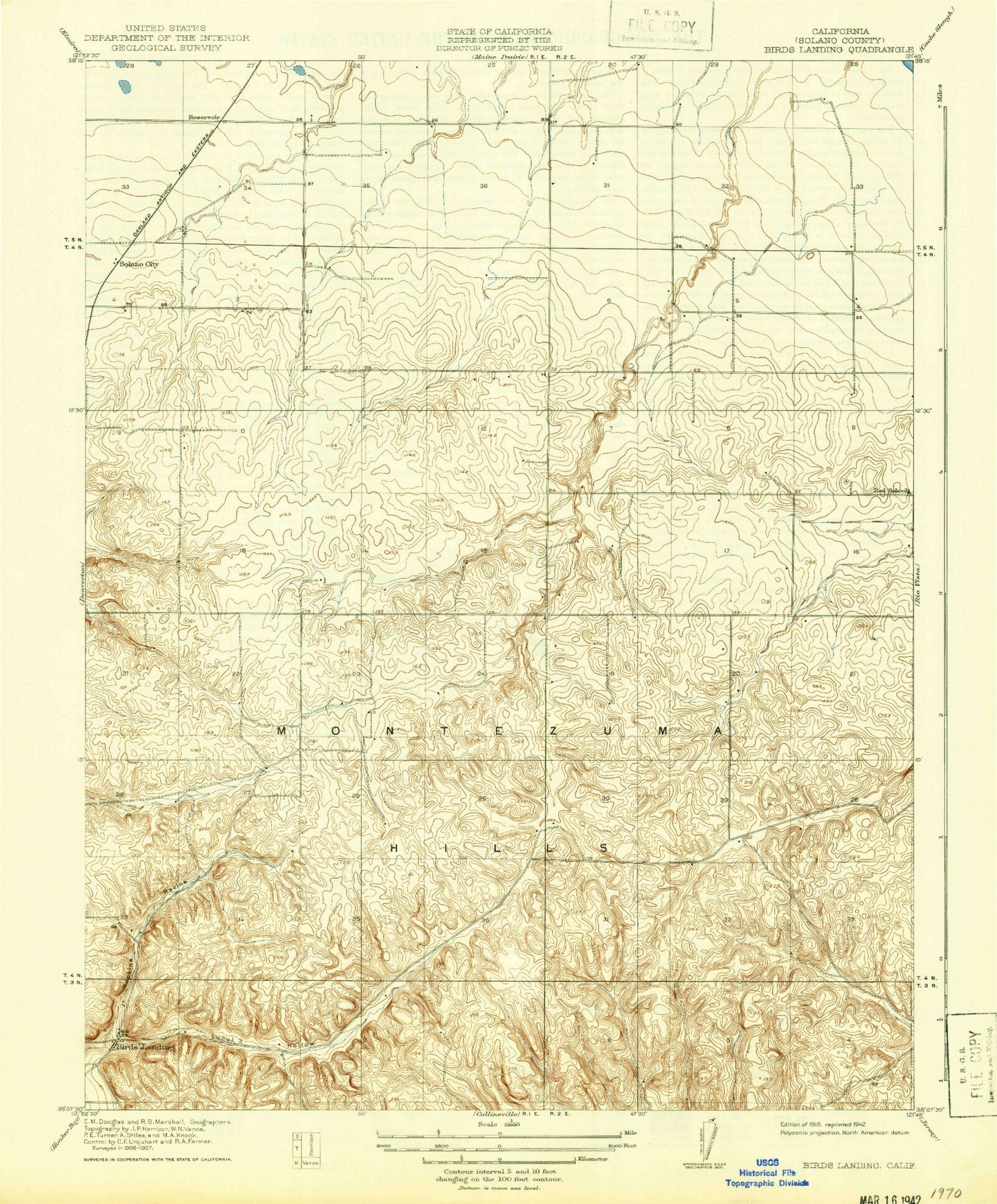
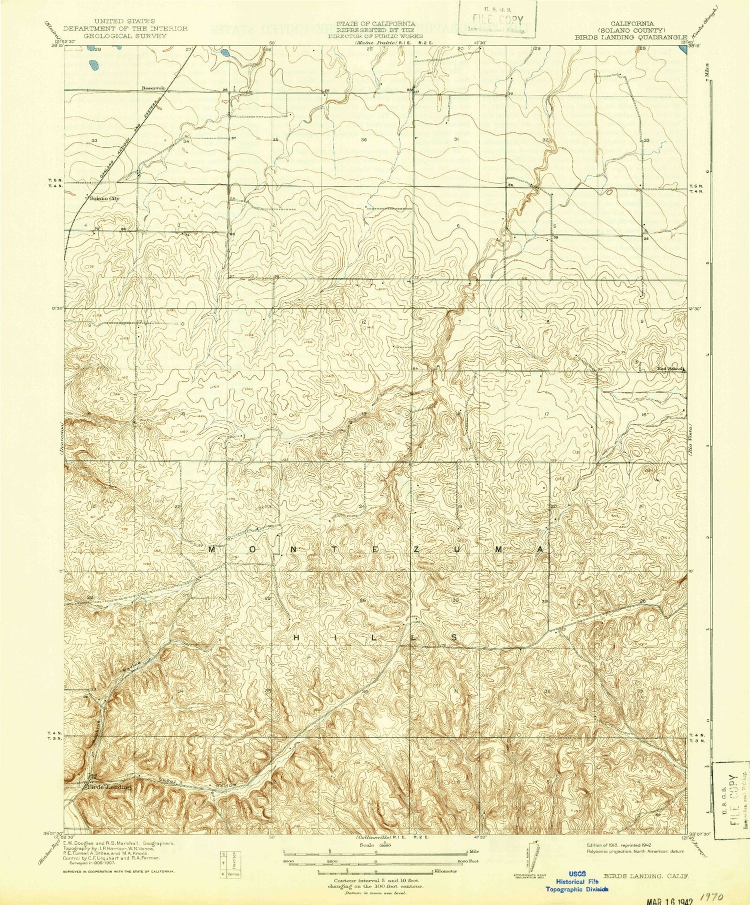
Classic USGS Birds Landing California 7.5'x7.5' Topo Map
Regular price
$16.95
Regular price
Sale price
$16.95
Unit price
per
Couldn't load pickup availability
Historical USGS topographic quad map of Birds Landing in the state of California. Map scale may vary for some years, but is generally around 1:24,000. Print size is approximately 24" x 27"
This quadrangle is in the following counties: Solano.
The map contains contour lines, roads, rivers, towns, and lakes. Printed on high-quality waterproof paper with UV fade-resistant inks, and shipped rolled.
Contains the following named places: Birds Landing, Creed, Hamilton Ranch, Hansen Ranch, Hierlihy Ranch, Hopkins Ravine, Lambie Ranch, Lucol Hollow, Peterson Ranch, Red School, Rio Vista Division, Solano City, Thompson Ranch, Willow Spring School, ZIP Code: 94512