MyTopo
Classic USGS Birdseye Indiana 7.5'x7.5' Topo Map
Couldn't load pickup availability
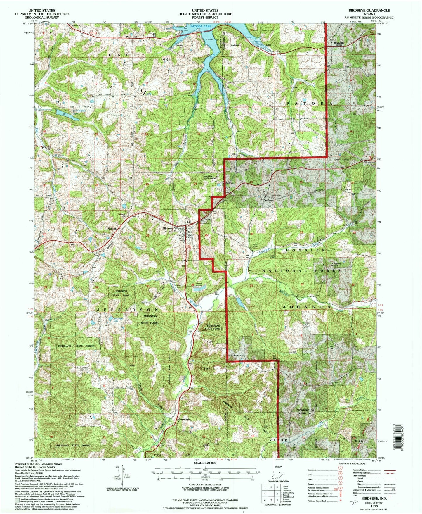
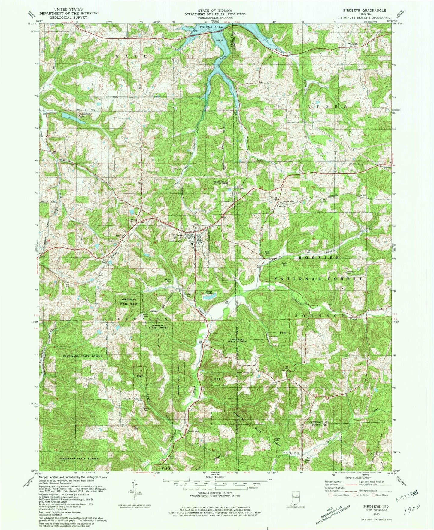
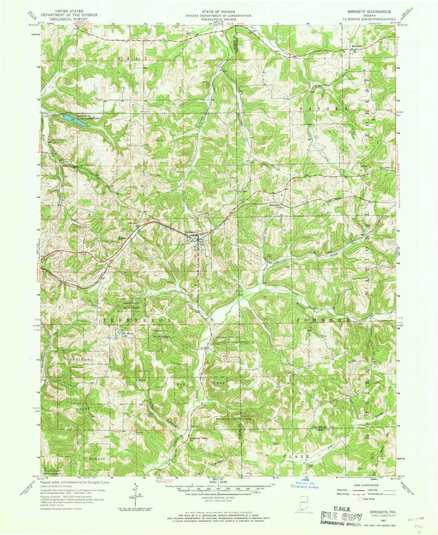
Historical USGS topographic quad map of Birdseye in the state of Indiana. Typical map scale is 1:24,000, but may vary for certain years, if available. Print size: 24" x 27"
This quadrangle is in the following counties: Crawford, Dubois, Perry.
The map contains contour lines, roads, rivers, towns, and lakes. Printed on high-quality waterproof paper with UV fade-resistant inks, and shipped rolled.
Contains the following named places: Adkins Cemetery, Anderson Valley Church, Birdseye, Blunk Cemetery, Davis Cemetery, Fox Ridge, Garland Cemetery, Idle Hour Lake, Mentor, Riceville, Riceville Creek, Saint Joe Church, Schnellville Lake, Sigler Cemetery, Sigler Cemetery, Spencer Cemetery, Taylor Cemetery, Taylor Hollow, Waddle Brook, Waddle Cemetery, Wickliffe, Whispering Pines Pond, Carmichael Lake Dam, Carmichael Lake, Idle Hour Lake Dam, Schnellville Conservation Lake Dam, Mitchell Creek, Ditney Hill Post Office (historical), Township of Jefferson, Township of Johnson, Birdseye Post Office, Town of Birdseye, Birdseye Volunteer Fire Department, Birdseye Christian Church, Wickliffe Cemetery, Birdseye Cemetery, Adkins Cemetery, Anderson Valley Church, Birdseye, Blunk Cemetery, Davis Cemetery, Fox Ridge, Garland Cemetery, Idle Hour Lake, Mentor, Riceville, Riceville Creek, Saint Joe Church, Schnellville Lake, Sigler Cemetery, Sigler Cemetery, Spencer Cemetery, Taylor Cemetery, Taylor Hollow, Waddle Brook, Waddle Cemetery, Wickliffe, Whispering Pines Pond, Carmichael Lake Dam, Carmichael Lake, Idle Hour Lake Dam, Schnellville Conservation Lake Dam, Mitchell Creek, Ditney Hill Post Office (historical), Township of Jefferson, Township of Johnson, Birdseye Post Office, Town of Birdseye, Birdseye Volunteer Fire Department, Birdseye Christian Church, Wickliffe Cemetery, Birdseye Cemetery


