
MyTopo
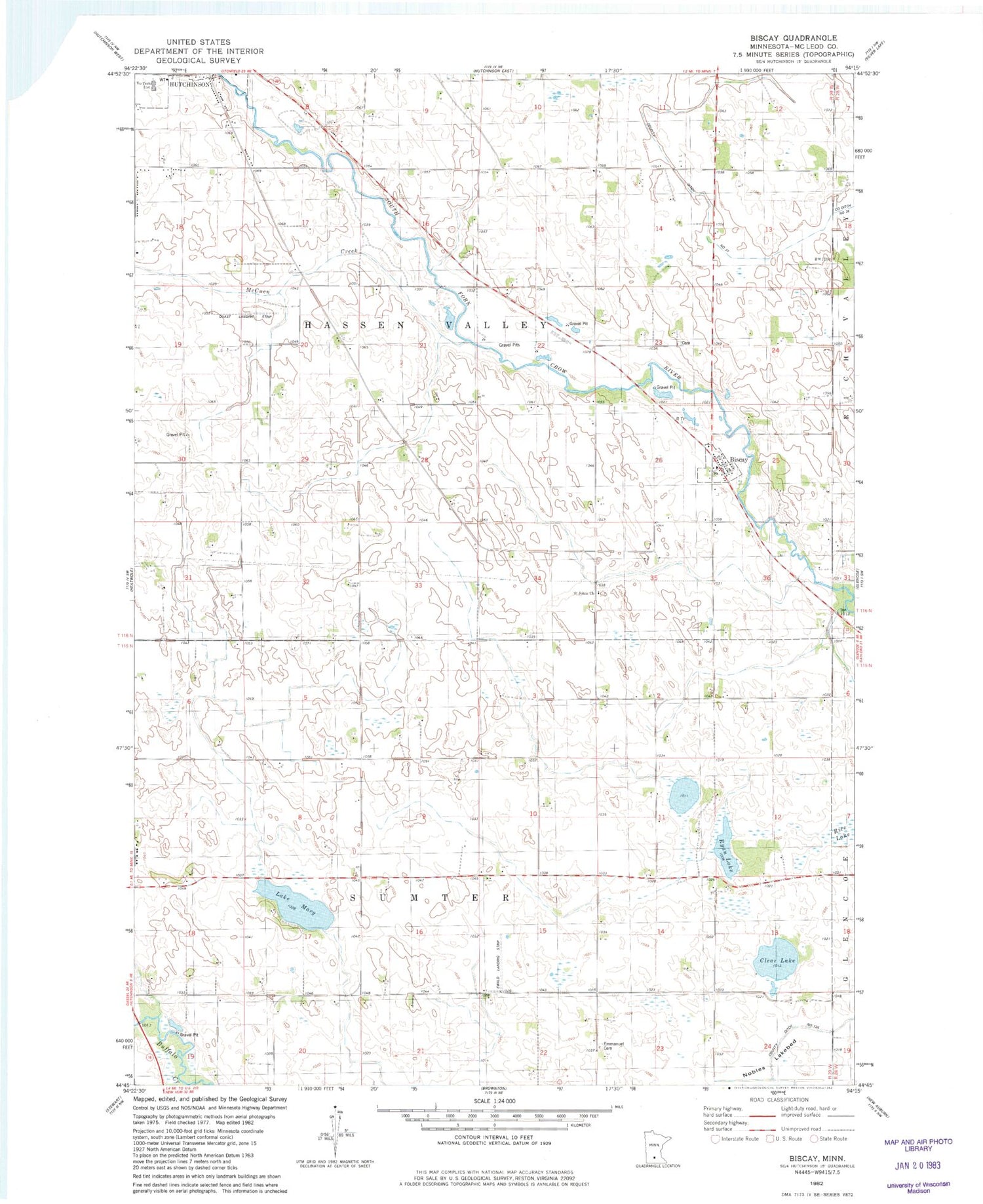
Classic USGS Biscay Minnesota 7.5'x7.5' Topo Map
Couldn't load pickup availability
Historical USGS topographic quad map of Biscay in the state of Minnesota. Map scale may vary for some years, but is generally around 1:24,000. Print size is approximately 24" x 27"
This quadrangle is in the following counties: McLeod.
The map contains contour lines, roads, rivers, towns, and lakes. Printed on high-quality waterproof paper with UV fade-resistant inks, and shipped rolled.
Contains the following named places: Biscay, Biscay Post Office, City of Biscay, Clear Lake, County Ditch Number Twentyseven, Elks Park, Emmanuel Cemetery, Evangelical Cemetery, Ewald Landing Strip, Lake Mary, McCuen Creek, McLeod County, McLeod County Waterfowl Production Area, Nobles Lakebed, Quast Airport, Rice Lake, Ridgewater college, Ryan Lake, Saint John's Cemetery, Saint Johns Church, School Number 985, Township of Hassan Valley, Township of Sumter


