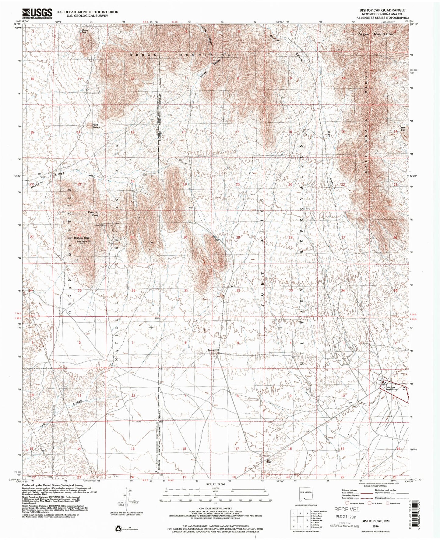
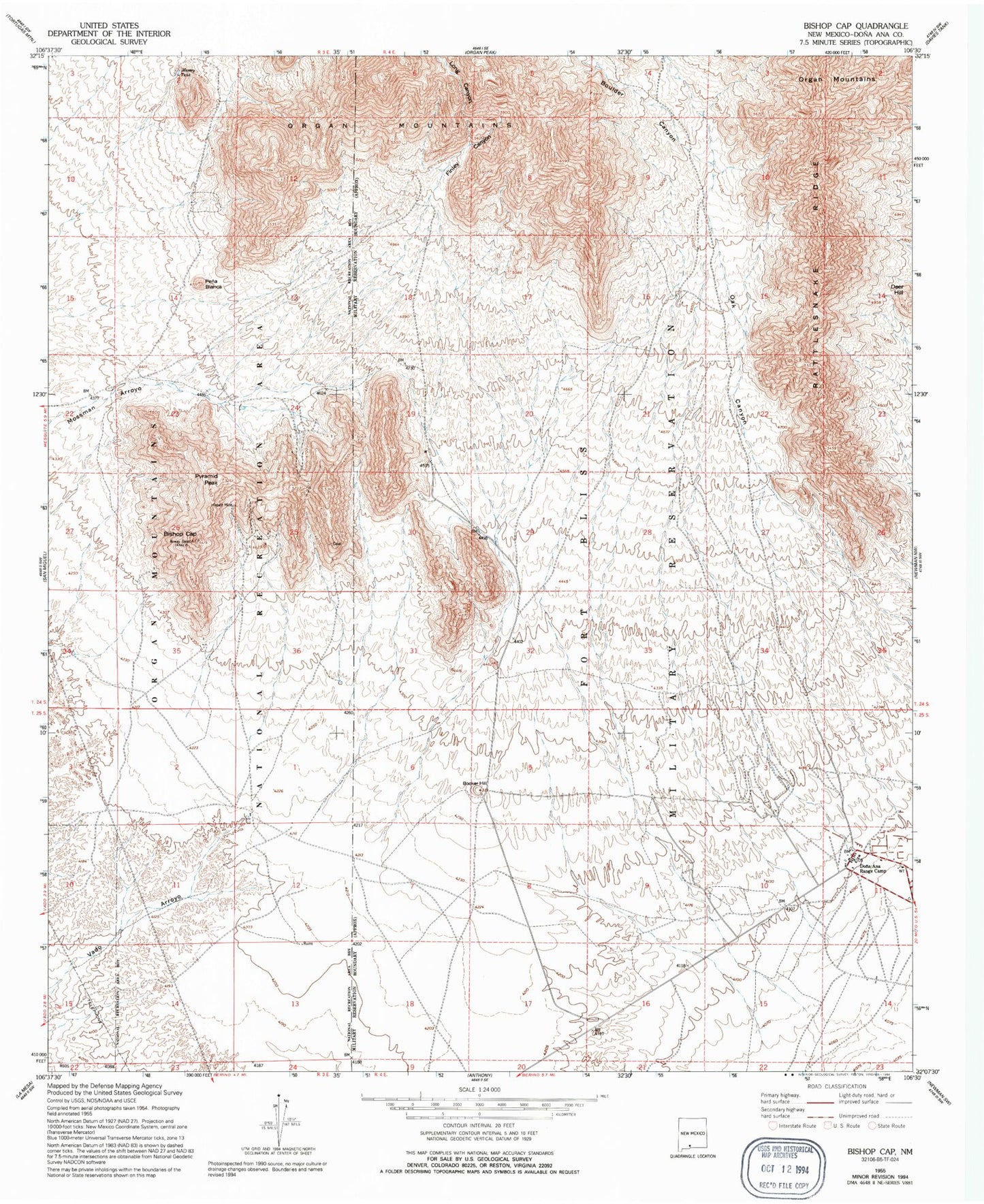
MyTopo
Classic USGS Bishop Cap New Mexico 7.5'x7.5' Topo Map
Couldn't load pickup availability
Historical USGS topographic quad map of Bishop Cap in the state of New Mexico. Map scale may vary for some years, but is generally around 1:24,000. Print size is approximately 24" x 27"
This quadrangle is in the following counties: Do��a Ana.
The map contains contour lines, roads, rivers, towns, and lakes. Printed on high-quality waterproof paper with UV fade-resistant inks, and shipped rolled.
Contains the following named places: 10108 Water Well, 10115 Water Well, 19 Water Well, 88072, Beasley Homestead, Bishop Cap, Bishops Cap Mine, Blue Star, Blue Star Prospect, Booker Hill, Boulder Canyon, Boyer Ranch, Brick Shale, Deer Hill, Dona Ana Range Camp, Finley Canyon, Grant Prospect, Herbert Mine, K 15 Water Well, K-14 Water Well, Long Canyon, Massey Tank, Number 1 Water Well, Pena Blanca, Pyramid Peak, Rattlesnake Ridge