MyTopo
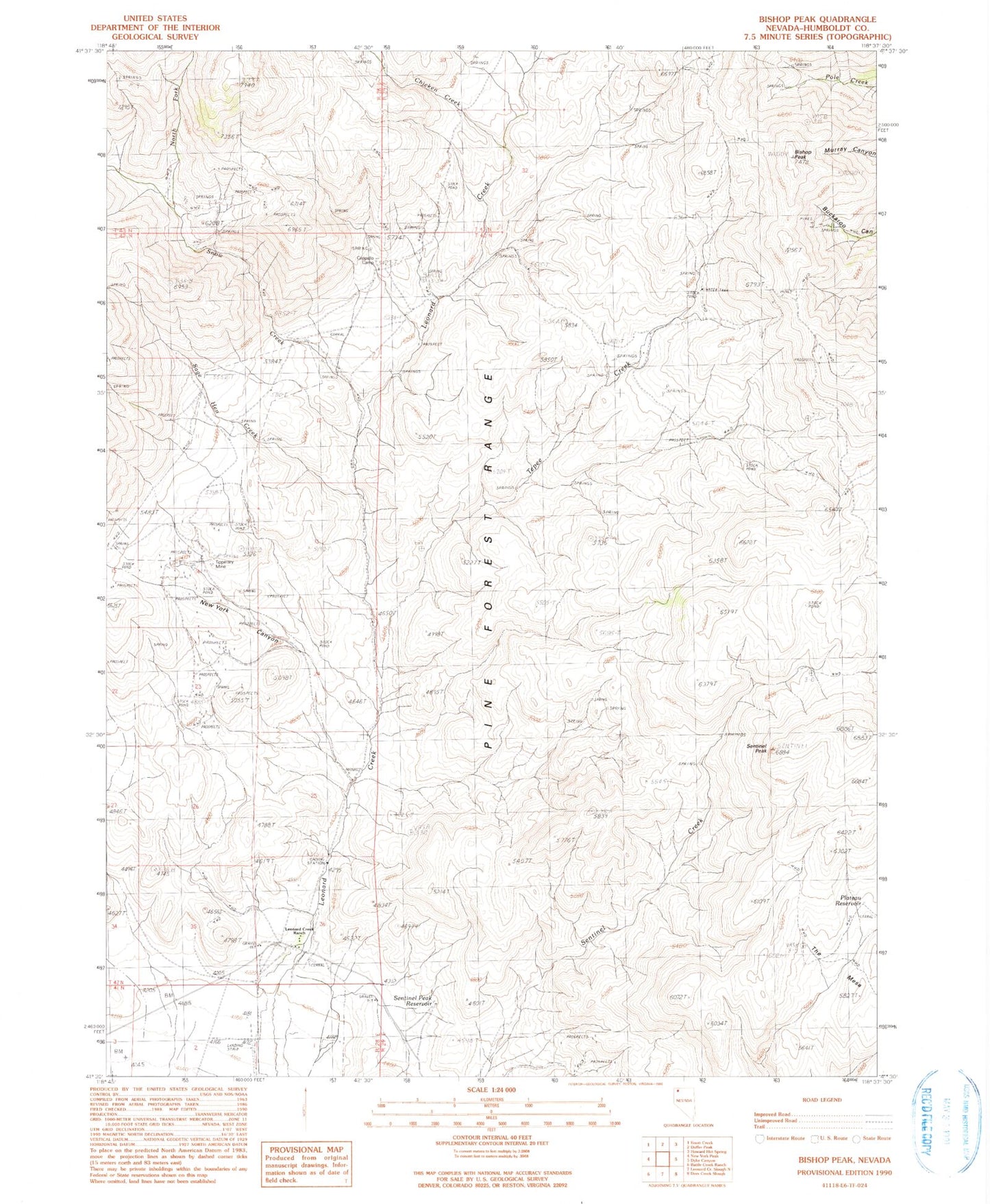
Classic USGS Bishop Peak Nevada 7.5'x7.5' Topo Map
Couldn't load pickup availability
Historical USGS topographic quad map of Bishop Peak in the state of Nevada. Typical map scale is 1:24,000, but may vary for certain years, if available. Print size: 24" x 27"
This quadrangle is in the following counties: Humboldt.
The map contains contour lines, roads, rivers, towns, and lakes. Printed on high-quality waterproof paper with UV fade-resistant inks, and shipped rolled.
Contains the following named places: Bishop Peak, Cappallo Camp, Chicken Creek, Leonard Creek Ranch, New York Canyon, North Fork Snow Creek, Plateau Reservoir, Sage Hen Creek, Sentinel Peak, Sentinel Peak Reservoir, Snow Creek, Tepee Creek, Tipperary Mine, New York Canyon Creek, Leonard Creek Mining District, Leonard Creek Elementary School, The Mesa, Leonard Creek Placer Mines